Login

Forgot your login?

Cookies have to be accepted!
Your browser's cookie functionality is disabled. Please enable this functionality.

Not a member yet?

Register now
Login

Available for registred users only

Log in to use this feature.

Forgot your login?

Cookies have to be accepted!
Your browser's cookie functionality is disabled. Please enable this functionality.

Not a member yet?

Register now
Filter
Categories
Advanced filters
  • Distance (km)
  • Height
Save filters Reset filter

TrackRank

QRCode

Technical data

Distance8,9 km Height329 m Way down308 m Duration03:00 h:m Date13.08.2014
Scores Author Landscape Fun factor Fitness Technique

Statistics

312 Views Scores 42 Downloads Average
Rate
  • Track data sheet
  • Directions
  • Downloads

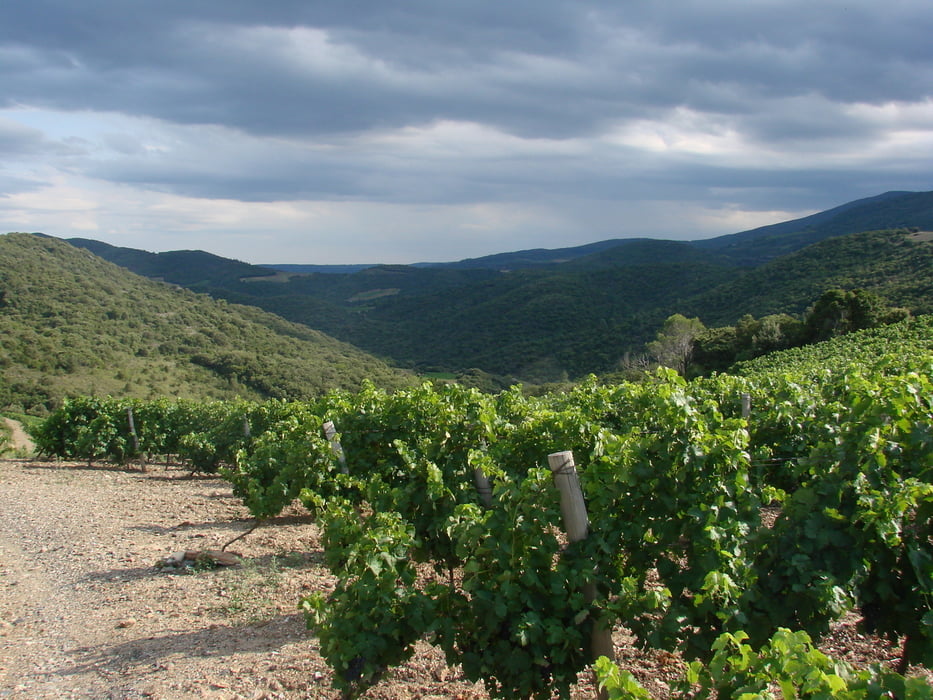
Sehr schöner Rundweg, der an einem Parkplatz am Fluss Orb beginnt, zunächst durch das Orbtal führt, dann durch ein waldiges Tal, durch Weinberge zum wunderschönen Dorf Ceps.

Der Weg ist rot markiert.


Tour gallery

Tour map and elevation profile

  • Open Street Map
  • Google
Minimum height 70 m Maximum height 288 m Detailed view

More about the tour author

Zohren
Member since 2010

Send private message

Comments

Von Süden (Beziers, Cessenon, ...) kommend fährt man durch Roquebrun. Einige Kilometer weiter fährt man an der Abzweigung zum Dorf nach links runter ins Tal des Orb und dann auf den ausgeschilderten Parkplatz direkt am Ufer des Orb.


GPS tracks

Trackpoints
  • GPX / Garmin Map Source (gpx) download
  • TCX / Garmin Training Center® (tcx) download
  • CRS / Garmin Training Center® (crs) download
  • Google Earth (kml) download
  • G7ToWin (g7t) download
  • TTQV (trk) download
  • Overlay (ovl) download
  • Fugawi (txt) download
  • Kompass (DAV) Track (tk) download
  • Track data sheet (pdf) download
  • Original file of the author (gpx) download

More about the tour author

Zohren
Member since 2010

Send private message
Share track
Add to my favorites
Remove from my favorites
Edit tags
My score
Rate
Track: Circuit L'Ayrolle
Type: Hiking
Distance: 8,9 km
Evaluated on:
Duration:
Day(s)
Hour(s)
Minute(s)
Score: Landscape Fun factor Fitness Technique