Login

Forgotten password?

Cookies have to be accepted!
Your browser's cookie functionality is disabled. Please enable this functionality.

Not a member yet?

Register now
Login

Available for registred users only

Log in to use this feature.

Forgotten password?

Cookies have to be accepted!
Your browser's cookie functionality is disabled. Please enable this functionality.

Not a member yet?

Register now
Filter
Categories
Advanced filters
  • Distance (km)
  • Height
Save filters Reset filter

TrackRank

QRCode

Technical data

Distance16,6 km Height822 m Way down839 m Duration00:00 h:m Date18.02.2008
Scores Author Landscape Fun factor Fitness Technique

Statistics

2966 Views Scores 253 Downloads Average
Rate
  • Track data sheet
  • Directions
  • Downloads
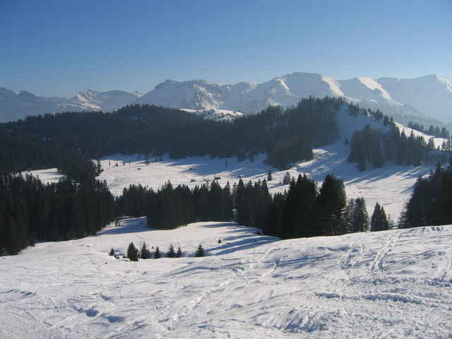
Rickatschwende - Hochälpele - Abfahrt beim Skilift Alpenblick - Bregenzer Hütte - Auf dem Retourweg Abfahrt beim Skilift Lank.

Further information at

http://www.skinfit-stuttgart.de/

Tour gallery

Tour map and elevation profile

  • Open Street Map
  • Google
Minimum height 867 m Maximum height 1442 m Detailed view

More about the tour author

slartibart

Comments

GPS tracks

Trackpoints
  • GPX / Garmin Map Source (gpx) download
  • TCX / Garmin Training Center® (tcx) download
  • CRS / Garmin Training Center® (crs) download
  • Google Earth (kml) download
  • G7ToWin (g7t) download
  • TTQV (trk) download
  • Overlay (ovl) download
  • Fugawi (txt) download
  • Kompass (DAV) Track (tk) download
  • Track data sheet (pdf) download
  • Original file of the author (gpx) download

More about the tour author

slartibart

Share track
Add to my favorites
Remove from my favorites
Edit tags
My score
Rate
Track: Rickatschwende - Hochälpele - Bregenzer Hütte
Type: Ski touring
Distance: 16,6 km
Evaluated on:
Duration:
Day(s)
Hour(s)
Minute(s)
Score: Landscape Fun factor Fitness Technique