Login

Forgot your login?

Cookies have to be accepted!
Your browser's cookie functionality is disabled. Please enable this functionality.

Not a member yet?

Register now
Login

Available for registred users only

Log in to use this feature.

Forgot your login?

Cookies have to be accepted!
Your browser's cookie functionality is disabled. Please enable this functionality.

Not a member yet?

Register now
Filter
Categories
Advanced filters
  • Distance (km)
  • Height
Save filters Reset filter

TrackRank

QRCode

Technical data

Distance17,7 km Height918 m Way down912 m Duration03:00 h:m Date21.09.2014
Scores Author Landscape Fun factor Fitness Technique

Statistics

293 Views Scores 53 Downloads Average
Rate
  • Track data sheet
  • Directions
  • Downloads
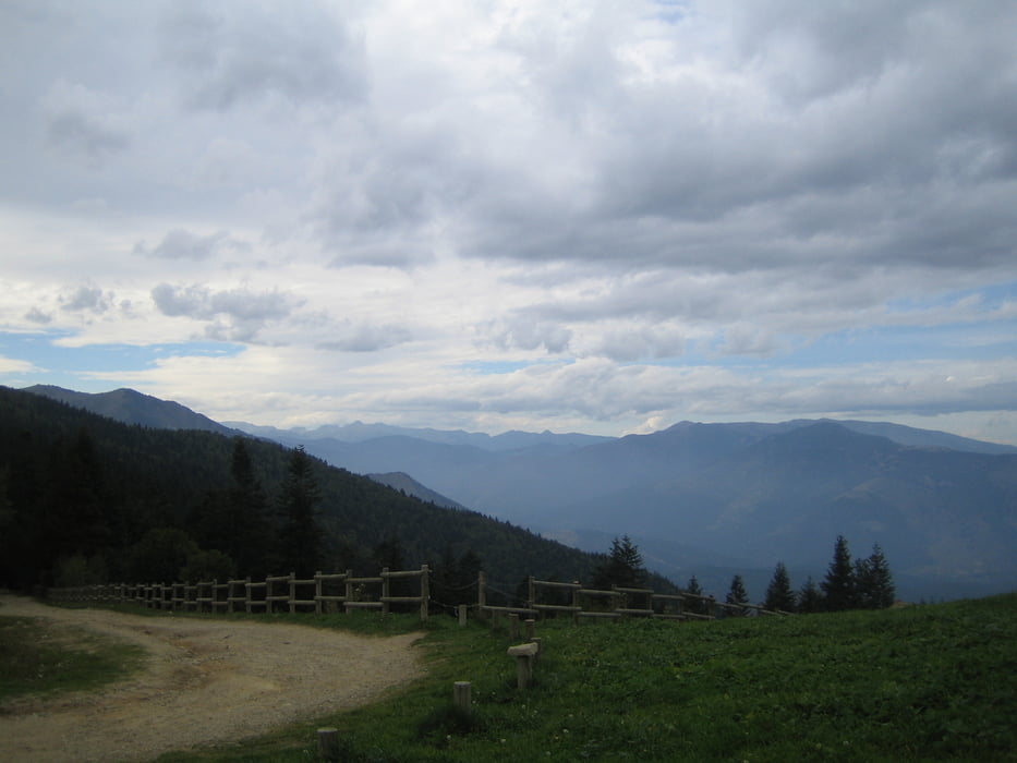
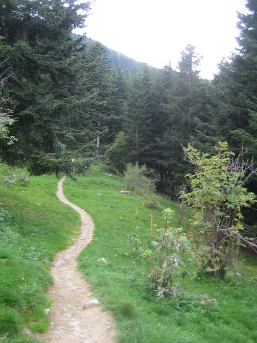
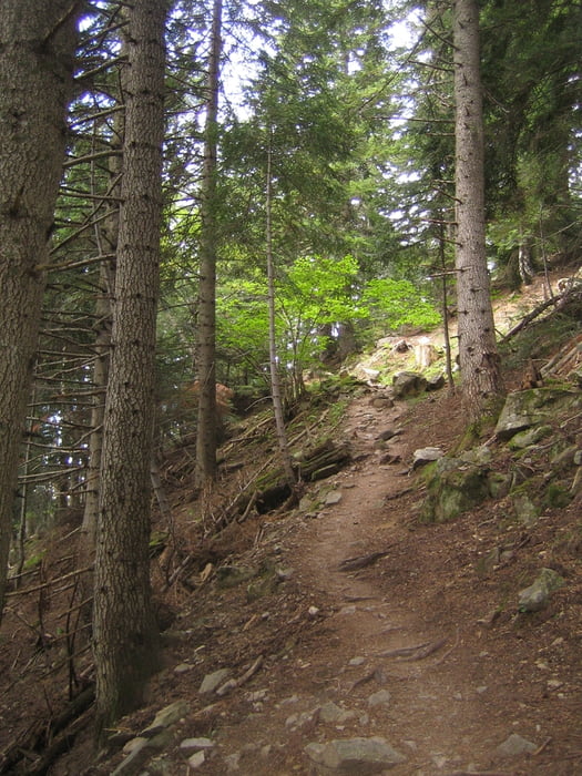
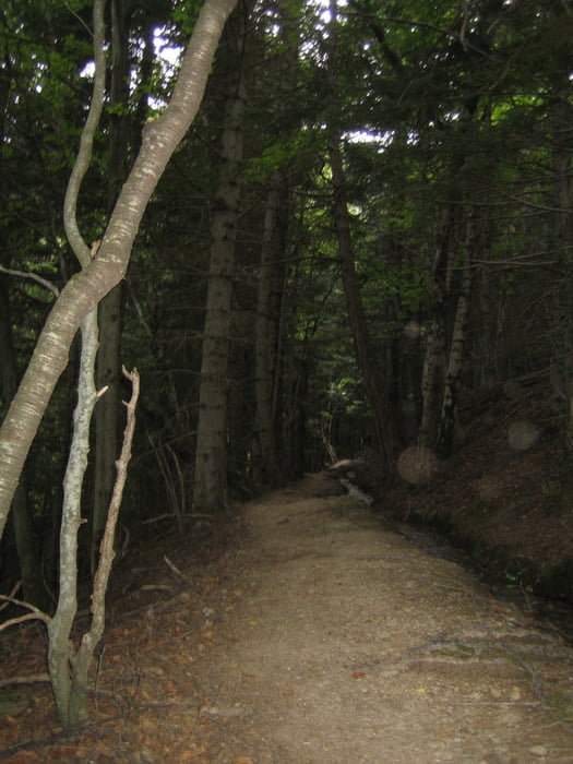
Start der Tour ist am Campingplatz Domaine St. Martin in Casteil. Der Anstieg erfolgt zunächst über eine wenig befahrene Teerstraße und geht dann in einen breiten Schotterweg über. Der Anstieg geht über 10 Kilometer stetig zwischen 15 und 20% bergauf. Oben angekommen entlohnt die Aussicht und gastfreundliche Hütte Marialles zum einkehren und die Aussicht auf endlose trails bergab. Die trails sind teils sehr technisch entlang an einem kleinen Bachlauf und mit schiebe / trage Passagen. Es kommen flowige aber auch teilweise sehr steinige Abschnitte.

Tour gallery

Tour map and elevation profile

  • Open Street Map
  • Google
Minimum height 803 m Maximum height 1695 m Detailed view

More about the tour author

prehomow
Member since 2012

Send private message

Comments

GPS tracks

Trackpoints
  • GPX / Garmin Map Source (gpx) download
  • TCX / Garmin Training Center® (tcx) download
  • CRS / Garmin Training Center® (crs) download
  • Google Earth (kml) download
  • G7ToWin (g7t) download
  • TTQV (trk) download
  • Overlay (ovl) download
  • Fugawi (txt) download
  • Kompass (DAV) Track (tk) download
  • Track data sheet (pdf) download
  • Original file of the author (gpx) download

More about the tour author

prehomow
Member since 2012

Send private message
Share track
Add to my favorites
Remove from my favorites
Edit tags
My score
Rate
Track: Technische Trails Casteil
Type: Mountain bike
Distance: 17,7 km
Evaluated on:
Duration:
Day(s)
Hour(s)
Minute(s)
Score: Landscape Fun factor Fitness Technique