

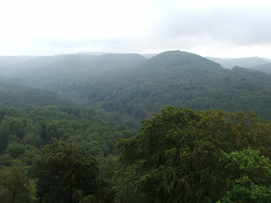

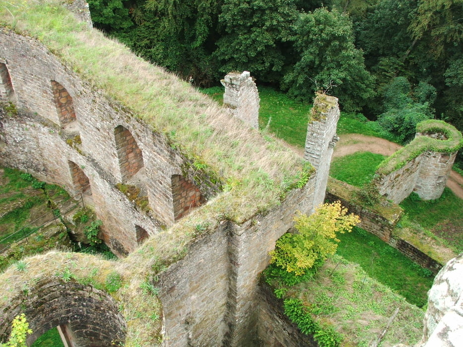
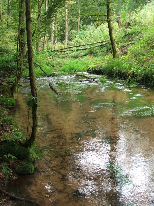
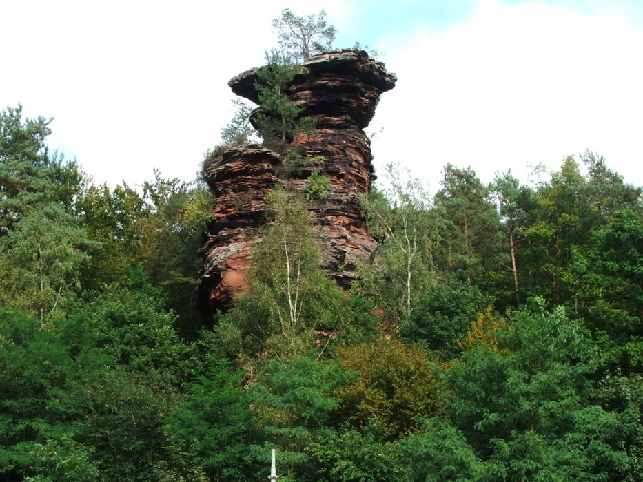
Wegverlauf: Hinterweidenthal Ort - Rotenstein - Bauwalder Kopf - Vorderer Winschertkopf - Ruine Gräfenstein - Wieslautertal - Hinterweidenthal
Tour gallery
Tour map and elevation profile
Minimum height 214 m
Maximum height 524 m
More about the tour author
|
|
lothardomnik |
Comments

More about the tour author
|
|
lothardomnik |
Add to my favorites
Remove from my favorites
Edit tags
Open track


My score
Rate