Login

Forgot your login?

Cookies have to be accepted!
Your browser's cookie functionality is disabled. Please enable this functionality.

Not a member yet?

Register now
Login

Available for registred users only

Log in to use this feature.

Forgot your login?

Cookies have to be accepted!
Your browser's cookie functionality is disabled. Please enable this functionality.

Not a member yet?

Register now
Filter
Categories
Advanced filters
  • Distance (km)
  • Height
Save filters Reset filter

TrackRank

QRCode

Technical data

Distance16,2 km Height1673 m Way down1681 m Duration03:00 h:m Date06.11.2014
Scores Author Landscape Fun factor Fitness Technique

Statistics

285 Views Scores 37 Downloads Average
Rate
  • Track data sheet
  • Directions
  • Downloads

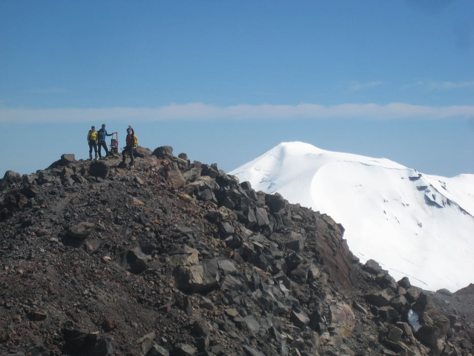
Vom obersten Parkplatz leicht links haltend dirchs Skigebiet aufsteigen, dann leicht rechts durch Mulde zu Sattel zwischen dem Nuevo Volcan und dem südlich vorgelagerten Volcan Chillan. Über die Südseite des Gipfels und über den Kraterrand zum höchsten Punkt.

Bei uns waren die Gipfelfelsen handwarm: Der ideale Brotzeitplatz

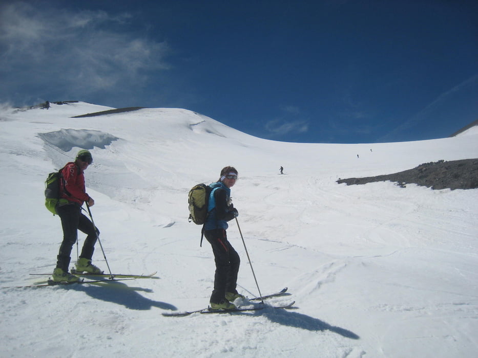
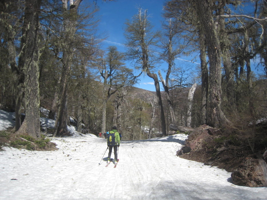
Abfahrt wie Aufstieg oder so wie wir leicht rechts haltend zu Skiweg der bei der Talstation des untersten Liftes endet und durch wunderschönen alten Wald führt. Von dort zu Fuß durch das Thermengebiet zurück zu Strße und Parkplatz.

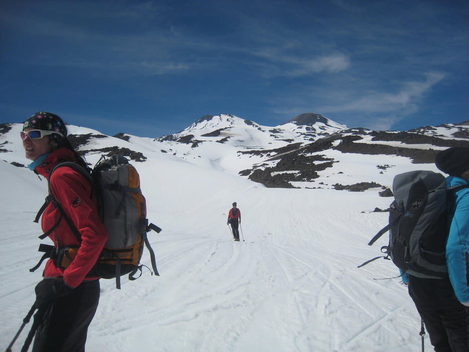
 Leistungsstarke Tourengeher können Nuevo Volcan Chillan und Nevado Chillan an einem Tag besteigen. Dafür muss man die Ski ein paar Meter über die warmen Vulkansteine Richtung NO tragen und dann in das Becken Östlich von Volcan und Nevado Chillan abfahren. Von dort zur Route Nevado Chillan aufsteigen. (Siehe Eintrag Nevado Chillan, Tour 137417)


Tour gallery

Tour map and elevation profile

  • Open Street Map
  • Google
Minimum height 1532 m Maximum height 3206 m Detailed view

More about the tour author

Gi
Member since 2010

Send private message

Comments

Von Chillan über Las Trancas bis zum Ende der Straße im Skigebiet von Chillan. Dort beim obersten Hotel parken.

GPS tracks

Trackpoints
  • GPX / Garmin Map Source (gpx) download
  • TCX / Garmin Training Center® (tcx) download
  • CRS / Garmin Training Center® (crs) download
  • Google Earth (kml) download
  • G7ToWin (g7t) download
  • TTQV (trk) download
  • Overlay (ovl) download
  • Fugawi (txt) download
  • Kompass (DAV) Track (tk) download
  • Track data sheet (pdf) download
  • Original file of the author (gpx) download

More about the tour author

Gi
Member since 2010

Send private message
Share track
Add to my favorites
Remove from my favorites
Edit tags
My score
Rate
Track: Volcan Chillan
Type: Ski touring
Distance: 16,2 km
Evaluated on:
Duration:
Day(s)
Hour(s)
Minute(s)
Score: Landscape Fun factor Fitness Technique