Login

Forgot your login?

Cookies have to be accepted!
Your browser's cookie functionality is disabled. Please enable this functionality.

Not a member yet?

Register now
Login

Available for registred users only

Log in to use this feature.

Forgot your login?

Cookies have to be accepted!
Your browser's cookie functionality is disabled. Please enable this functionality.

Not a member yet?

Register now
Filter
Categories
Advanced filters
  • Distance (km)
  • Height
Save filters Reset filter

TrackRank

QRCode

Technical data

Distance16,9 km Height2094 m Way down2187 m Duration04:00 h:m Date06.11.2014
Scores Author Landscape Fun factor Fitness Technique

Statistics

357 Views Scores 39 Downloads Average
Rate
  • Track data sheet
  • Directions
  • Downloads
 

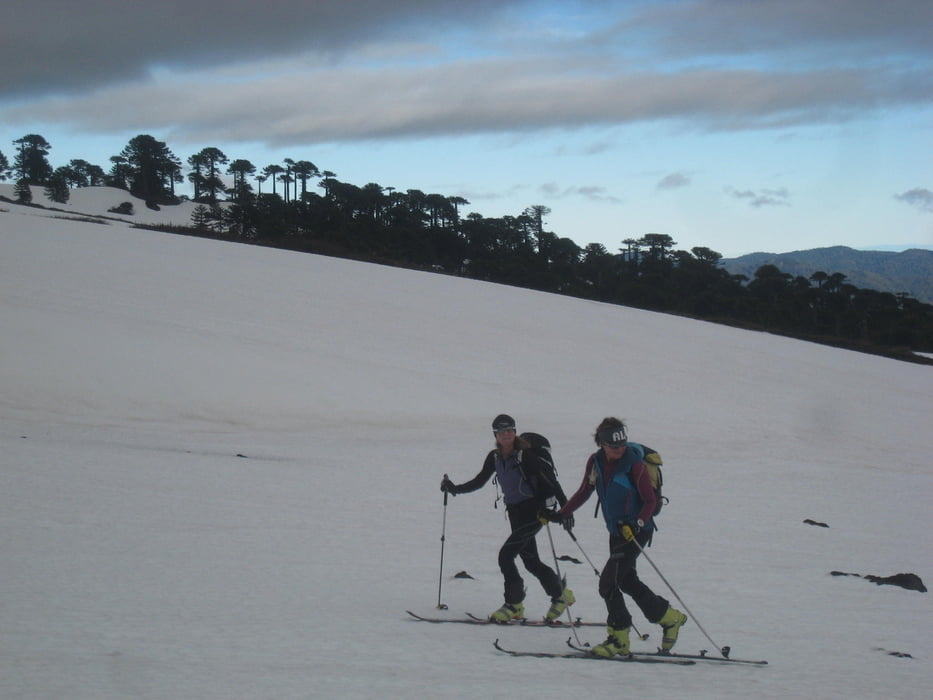
Vom Eingang zum Nationalpark nach SSW eine kleine Schlucht überquerend und dann geradaus durch die Flanke zum Gipfelaufbau. Ganz oben dem Büßerschnee links ausweichend mit Ski zum Gipfel.

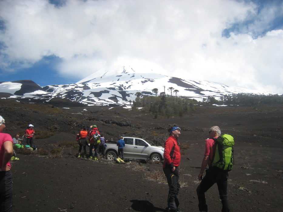
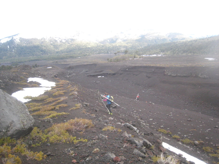
 Mitte Oktober mussten wir die Ski unten ca. 20 min. tragen.

Tour gallery

Tour map and elevation profile

  • Open Street Map
  • Google
Minimum height 1275 m Maximum height 3147 m Detailed view

More about the tour author

Gi
Member since 2010

Send private message

Comments

Von Victoria über 181 nach Curacautin, dort rechts und über R 925-S zum Nationalpark Conguillio.

Kurz vor dem Nationalparkshäuschen geht rechts eine Piste hinauf die man bis zu deren Ende bzw. bis zum Schnee folgt.


GPS tracks

Trackpoints
  • GPX / Garmin Map Source (gpx) download
  • TCX / Garmin Training Center® (tcx) download
  • CRS / Garmin Training Center® (crs) download
  • Google Earth (kml) download
  • G7ToWin (g7t) download
  • TTQV (trk) download
  • Overlay (ovl) download
  • Fugawi (txt) download
  • Kompass (DAV) Track (tk) download
  • Track data sheet (pdf) download
  • Original file of the author (gpx) download

More about the tour author

Gi
Member since 2010

Send private message
Share track
Add to my favorites
Remove from my favorites
Edit tags
My score
Rate
Track: Llaima
Type: Ski touring
Distance: 16,9 km
Evaluated on:
Duration:
Day(s)
Hour(s)
Minute(s)
Score: Landscape Fun factor Fitness Technique