Login

Forgot your login?

Cookies have to be accepted!
Your browser's cookie functionality is disabled. Please enable this functionality.

Not a member yet?

Register now
Login

Available for registred users only

Log in to use this feature.

Forgot your login?

Cookies have to be accepted!
Your browser's cookie functionality is disabled. Please enable this functionality.

Not a member yet?

Register now
Filter
Categories
Advanced filters
  • Distance (km)
  • Height
Save filters Reset filter

TrackRank

QRCode

Technical data

Distance12,5 km Height1794 m Way down1795 m Duration03:00 h:m Date06.11.2014
Scores Author Landscape Fun factor Fitness Technique

Statistics

298 Views Scores 36 Downloads Average
Rate
  • Track data sheet
  • Directions
  • Downloads

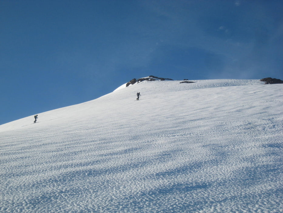
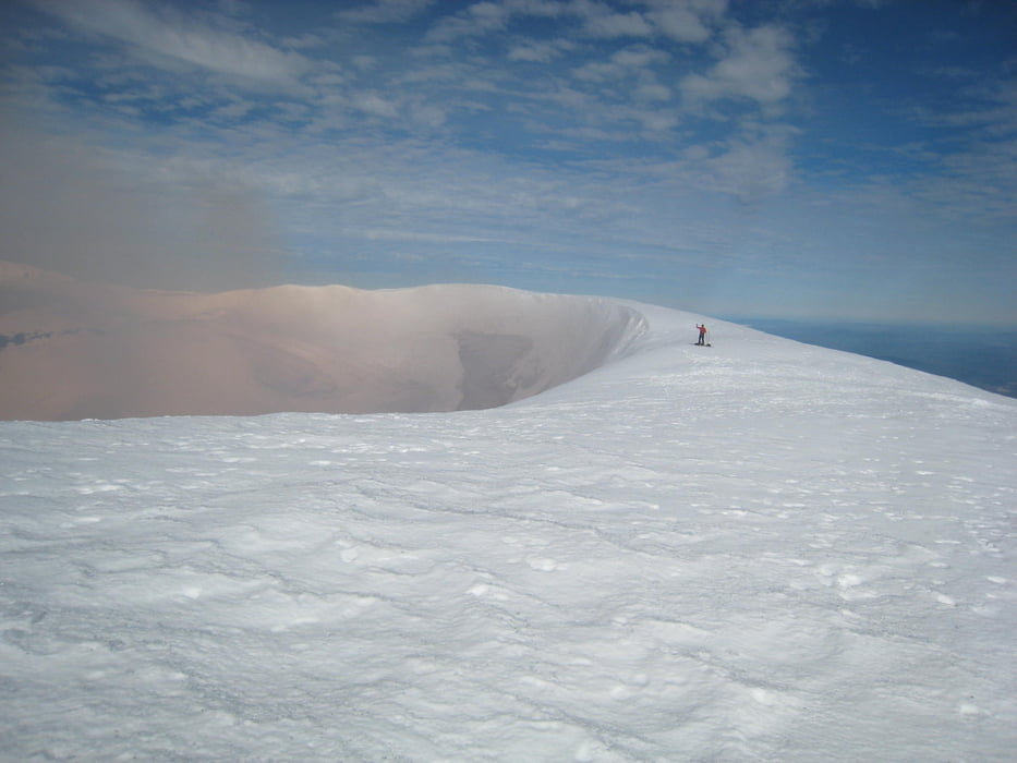
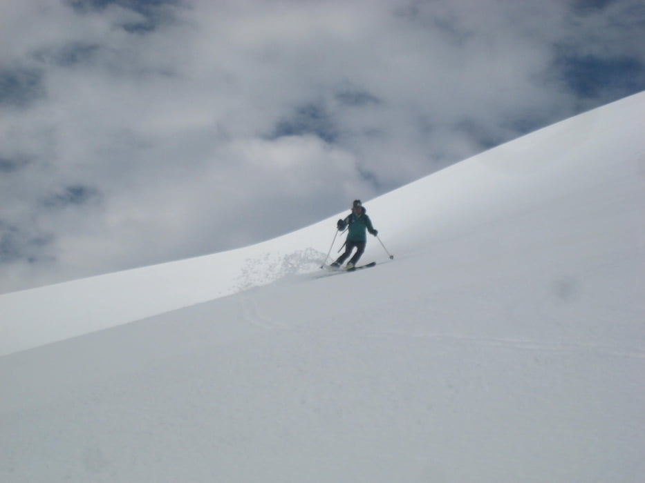
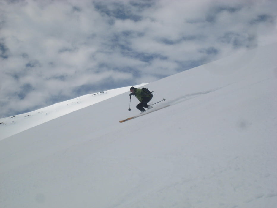
Vom Skilift zur Gipfelstation und leicht links haltend darüber hinaus. Über die Nordseite zum Gipfel ansteigen, dabei eine kurze Steilstufe überwinden (Harscheisen!). Abfahrt über die Ostseite (perfekter Firn am Vormittag) und nochmaliger Aufstieg. Dann Abfahrt wie Aufstieg.

Unten wäre es günstiger gewesen aus der Rinne nicht links zum Skilift hinaufzugehen sondern zunächst rechts haltend über kleinen Rücken zur Gipfelstation zu gehen. Damit vermeidet man die tiefen Fußspuren der Fußgänger queren zu müssen.


Tour gallery

Tour map and elevation profile

  • Open Street Map
  • Google
Minimum height 1352 m Maximum height 2824 m Detailed view

More about the tour author

Gi
Member since 2010

Send private message

Comments

Von Temuco über nach Villarica und Pucon. Vor dem Ort rechts abbiegenb zum Nationalpark und hinauf bis zum Skigebiet.

GPS tracks

Trackpoints
  • GPX / Garmin Map Source (gpx) download
  • TCX / Garmin Training Center® (tcx) download
  • CRS / Garmin Training Center® (crs) download
  • Google Earth (kml) download
  • G7ToWin (g7t) download
  • TTQV (trk) download
  • Overlay (ovl) download
  • Fugawi (txt) download
  • Kompass (DAV) Track (tk) download
  • Track data sheet (pdf) download
  • Original file of the author (gpx) download

More about the tour author

Gi
Member since 2010

Send private message
Share track
Add to my favorites
Remove from my favorites
Edit tags
My score
Rate
Track: Villarica
Type: Ski touring
Distance: 12,5 km
Evaluated on:
Duration:
Day(s)
Hour(s)
Minute(s)
Score: Landscape Fun factor Fitness Technique