


Ausgangspunkt der Schneeschuhtour ist der Hengstpass (985 m). Von dort auf der Asphaltstrasse (nicht geräumt) nach Westen zur Egglalm, wo die Runde um den Kl. Mitterberg beginnt und endet (Wegpunkt). Der Rundweg ist erst ab der Roten Kreuzkapelle grün markiert, sonst unmarkiert.
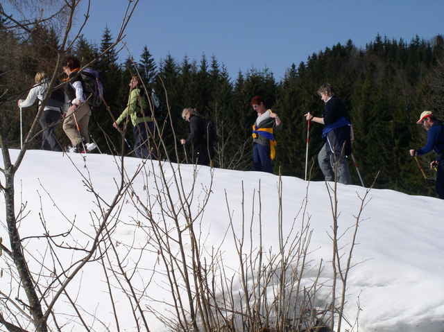
Schöner Ausblick auf den Gr. Pyhrgas.
Schöner Ausblick auf den Gr. Pyhrgas.
Further information at
http://www.kalkalpen.atTour gallery
Tour map and elevation profile
Minimum height 859 m
Maximum height 1137 m
More about the tour author
|
|
gsimon |
Comments

Von Windischgarsten (A9-Abfahrt Roßleiten) oder Altenmarkt - Oberlaussa im Ennstal.
Schneeschuhverleih im Nationalparkhotel Villa Sonnwend
Mayrwinkl 1, A- 4580 Windischgarsten,
Tel. 07562/20592, Fax 07562/20614, email
villa-sonnwend@kalkalpen.at (Nationalpark Kalkalpen)
Schneeschuhverleih im Nationalparkhotel Villa Sonnwend
Mayrwinkl 1, A- 4580 Windischgarsten,
Tel. 07562/20592, Fax 07562/20614, email
villa-sonnwend@kalkalpen.at (Nationalpark Kalkalpen)
GPS tracks
Trackpoints-
GPX / Garmin Map Source (gpx) download
-
TCX / Garmin Training Center® (tcx) download
-
CRS / Garmin Training Center® (crs) download
-
Google Earth (kml) download
-
G7ToWin (g7t) download
-
TTQV (trk) download
-
Overlay (ovl) download
-
Fugawi (txt) download
-
Kompass (DAV) Track (tk) download
-
Track data sheet (pdf) download
-
Original file of the author (gpx) download
More about the tour author
|
|
gsimon |
Add to my favorites
Remove from my favorites
Edit tags
Open track
My score
Rate