
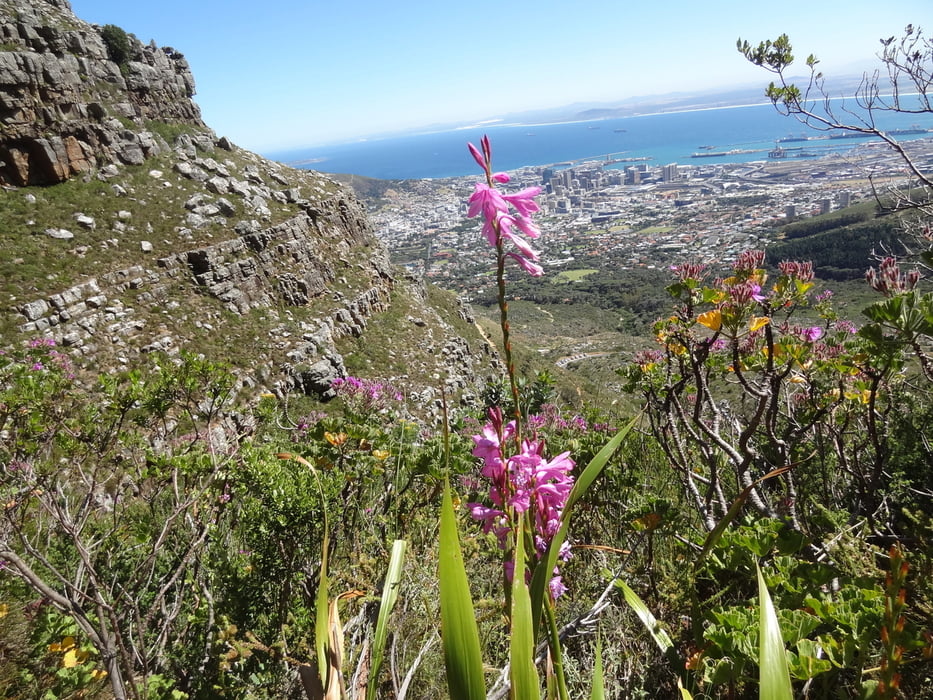

Am besten nehmen wir ein Taxi zum Einstieg des Platteklip Gorge, den Aufstieg der bei der Erstbesteigung im Jahre 1503 verwendet wurde. Der Aufstieg über den serpentinenreichen, sonnigen Weg ist ohne große Schwierigkeiten machbar, im Sommer zur Mittagssonne aber sehr heiß. Je nach Kondition, 45-70min.
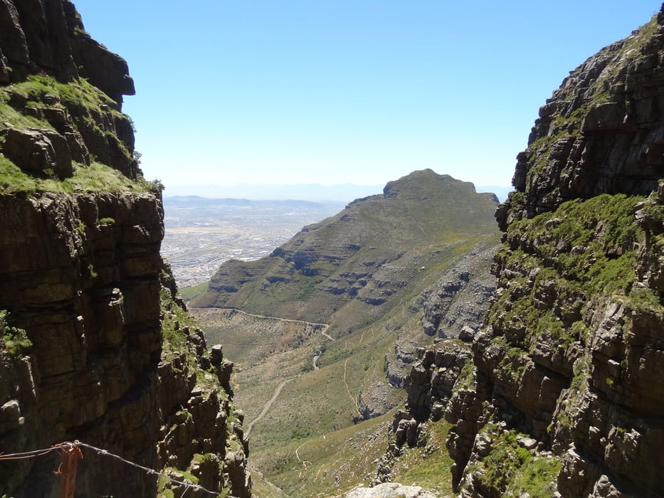
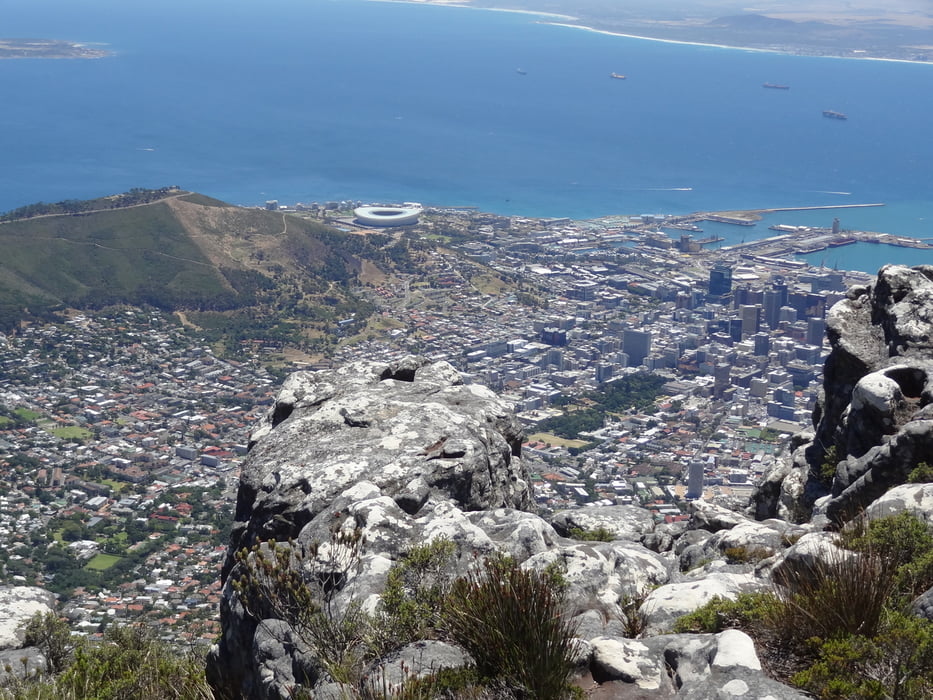
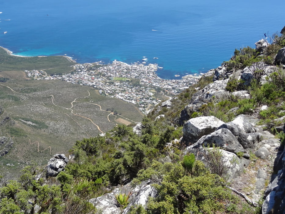
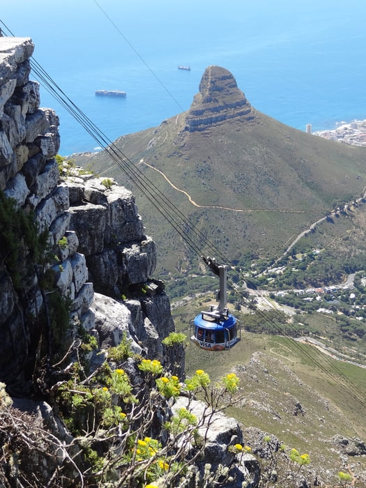
Oben angekommen erlaubt das Plateau einen schönen Rundweg entlang der Klippe zum höchsten Punkt (Maclear's Beacon, 1086m), einen Steinhaufen der 1865 der zur Ermittlung der Erdkrümmung diente. Zurück zur Bergstation der Seilbahn. Diese kann durchaus bei starken Wind (z.B. während der windigen Monate Nov/Dez) geschlossen sein. Dann muss man den Weg zurück zu Fuß angehen. Wenn Sie im Betrieb ist, ist die Fahrt mit der Seilbahn der bequemere Abstieg. An der Talstation, einige Meter der Table Mountain Road hinunter stehen Taxis für die Rückfahrt in die Stadt.
===============
Best to take a taxi to the access of Platteklip Gorge, the trail used in 1503 to climb Table Mountain the 1st time. The ascent is a twisting, sunny path which can be done without big difficulties, but in summer during noon it might be very hot. Depending on your shape: 45-70min
Leaving the gorge on top, the Plateau offers nice walks along the cliff to the highest Point (Maclear's Beacon, 1086m), a cairn used to assist in measuring the curvature of the earth. Back to the upper Station of the cable car. It might be closed with strong winds (e.g. during the windy months Nov/Dec). Then you have to make your descend by foot. In Operation, the cable car offers the easiest way back. At the lower Station, some meters down the Table Mountain Road, you find Taxis for the drive back into town
==============
http://www.tablemountainwalks.co.za/walks.html
http://www.hiketablemountain.co.za/de/platteklip-gorge/
Tour gallery

Tour map and elevation profile
Minimum height 365 m
Maximum height 1076 m
More about the tour author
|
|
Traenkerluis |
Comments

More about the tour author
|
|
Traenkerluis |
Add to my favorites
Remove from my favorites
Edit tags
Open track
My score
Rate