Login

Forgot your login?

Cookies have to be accepted!
Your browser's cookie functionality is disabled. Please enable this functionality.

Not a member yet?

Register now
Login

Available for registred users only

Log in to use this feature.

Forgot your login?

Cookies have to be accepted!
Your browser's cookie functionality is disabled. Please enable this functionality.

Not a member yet?

Register now
Filter
Categories
Advanced filters
  • Distance (km)
  • Height
Save filters Reset filter

TrackRank

QRCode

Technical data

Distance8,3 km Height497 m Way down707 m Duration04:00 h:m Date26.01.2015
Scores Author Landscape Fun factor Fitness Technique

Statistics

804 Views 1 Score 88 Downloads 5.00 Average
Rate
  • Track data sheet
  • Directions
  • Downloads
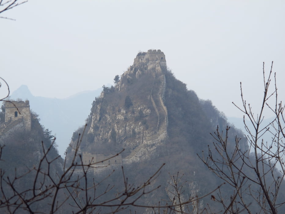
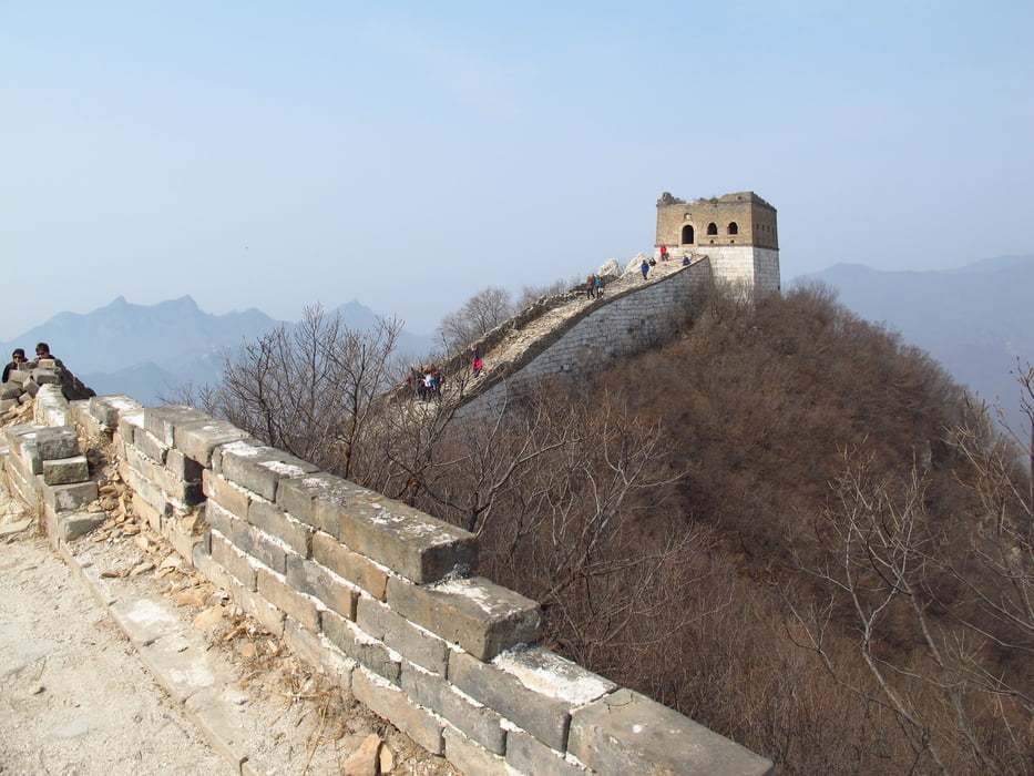
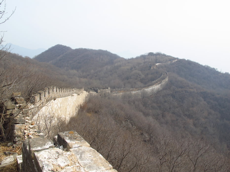
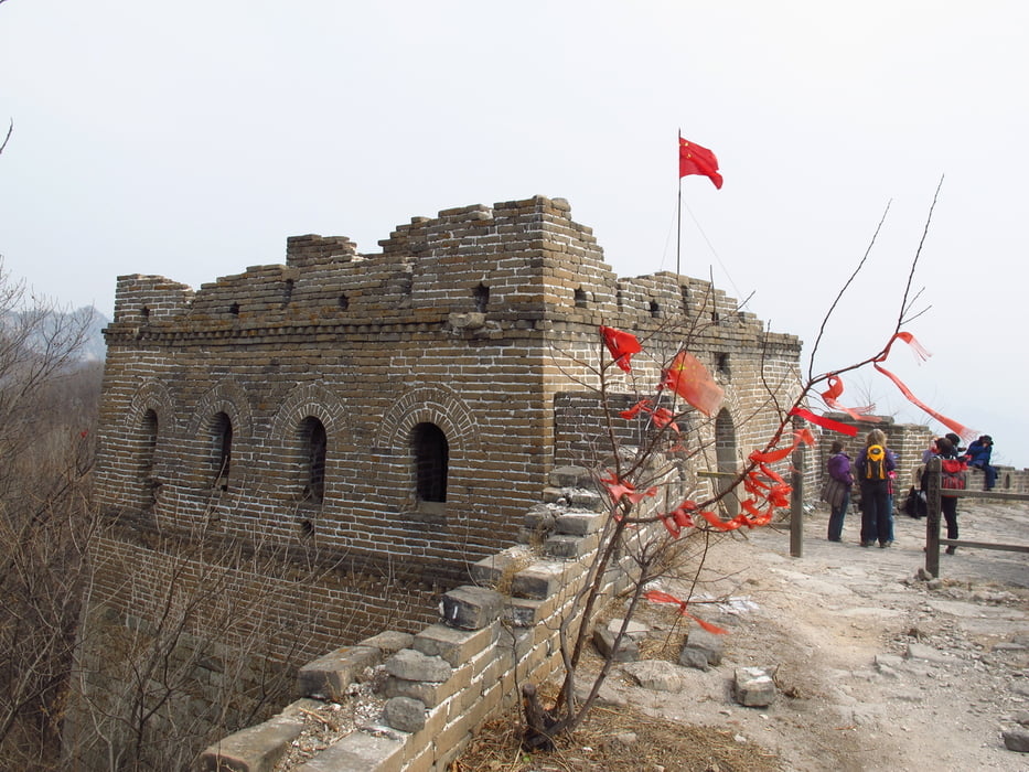
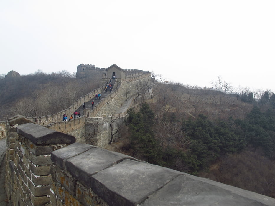
Die Wanderung beginnt im Tal nach Jiankou. Am Tal Eingang muss man Eintrittsgebühr bezahlen. Dann geht erst ein flacher geteerter Weg Richtung Farm Häuser. Von der Häuser Ansammlung führt ein schmaler Pfad recht steil zur Mauer. An einer Stelle hat ein Dorfbewohner eine Leiter aufgestellt und verlangt  eine Benutzungsgebühr. Auf der Mauer geht es dann nach links weiter Richtung Süden. Die Mauer ist gut erhalten und einfach zu begehen. Am Turm 23 in Mutianyu angekommen wird wieder Eintritt verlangt. Dieses Mal für Mutianyu. Der Mauerabschnitt ist sehr gut restauriert. Es gibt auch eine Gondelbahn, eine Sommer Rodelbahn und einen Sessellift. Oder man läuft einfach auf der Mauer weiter bis zum Sessellift und folgt dem Weg nach unten ins Tal. Seit 2014. fährt ein Shuttle bis zur neuen Touristeninformation.  

Tour gallery

Tour map and elevation profile

  • Open Street Map
  • Google
Minimum height 341 m Maximum height 1008 m Detailed view

More about the tour author

Hastati
Member since 2015

Send private message

Comments

Auto mit Fahrer mieten.

GPS tracks

Trackpoints
  • GPX / Garmin Map Source (gpx) download
  • TCX / Garmin Training Center® (tcx) download
  • CRS / Garmin Training Center® (crs) download
  • Google Earth (kml) download
  • G7ToWin (g7t) download
  • TTQV (trk) download
  • Overlay (ovl) download
  • Fugawi (txt) download
  • Kompass (DAV) Track (tk) download
  • Track data sheet (pdf) download
  • Original file of the author (gpx) download

More about the tour author

Hastati
Member since 2015

Send private message
Share track
Add to my favorites
Remove from my favorites
Edit tags
My score
Rate
Track: Jiankou nach Mutianyu
Type: Hiking
Distance: 8,3 km
Evaluated on:
Duration:
Day(s)
Hour(s)
Minute(s)
Score: Landscape Fun factor Fitness Technique