Login

Forgot your login?

Cookies have to be accepted!
Your browser's cookie functionality is disabled. Please enable this functionality.

Not a member yet?

Register now
Login

Available for registred users only

Log in to use this feature.

Forgot your login?

Cookies have to be accepted!
Your browser's cookie functionality is disabled. Please enable this functionality.

Not a member yet?

Register now
Filter
Categories
Advanced filters
  • Distance (km)
  • Height
Save filters Reset filter

TrackRank

QRCode

Technical data

Distance11,7 km Height482 m Way down490 m Duration04:30 h:m Date27.01.2015
Scores Author Landscape Fun factor Fitness Technique

Statistics

84 Views Scores 11 Downloads Average
Rate
  • Track data sheet
  • Directions
  • Downloads
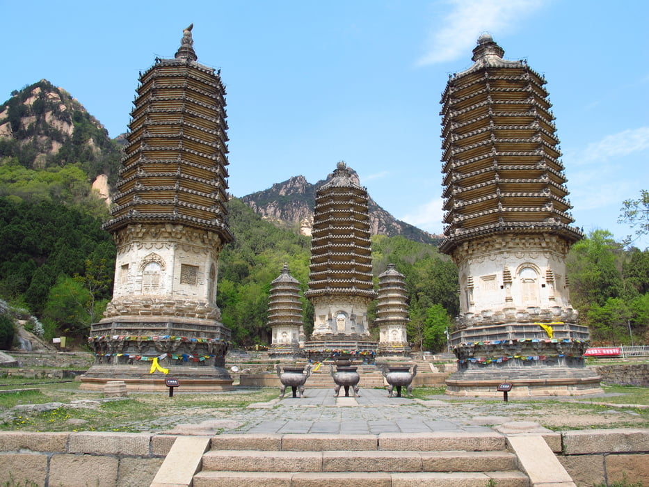
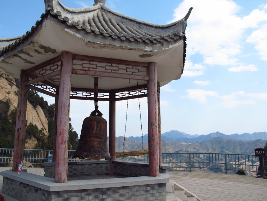
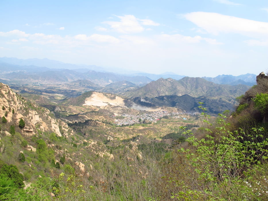
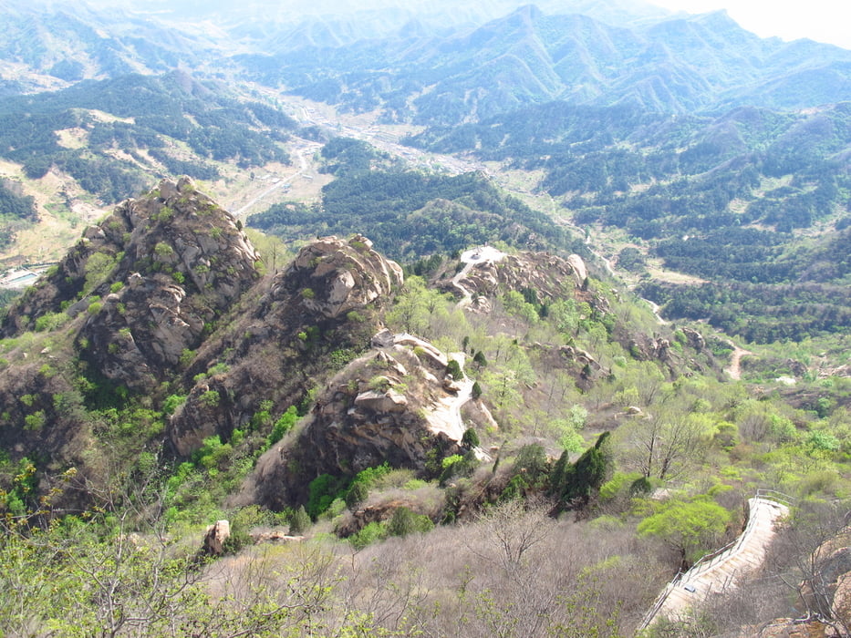
Vom Parkplatz zum zu den Pagoden. Von dort gehen Stufenpfade nach oben. Auf halber Höhe gibt es eine Plattform mit einem kleinen Pavillon. Gut für eine Pause mit schönem Ausblick. Weiter nach oben bis zum Gipfel. Dort ist eine kleine Aussichtsplattform. Der Rundblick ist super. Nun geht es etwas auf dem Weg zurück und dann auf einem Trampelpfad ins Tal. Der Pfad wird nach und nach breiter. Bis es ein Wirtschaftsweg wird. Im Dorf angekommen geht es über eine Brücke Richtung Osten. An Felder und Farmgebäuden vorbei bis es auf einem Trampelpfad weiter geht. Auf einer Anhöhe steht ein kleiner Tempel. Dem Weg weiter folgen durch einen Steinbruch hindurch. Im nächsten Ort gibt es noch ein alter Theater. Aus dem Ort führt ein Weg in südliche Richtung zurück zu den Pagoden.

Tour gallery

Tour map and elevation profile

  • Open Street Map
  • Google
Minimum height 355 m Maximum height 730 m Detailed view

More about the tour author

Hastati
Member since 2015

Send private message

Comments

Auto mit Fahrer mieten.

GPS tracks

Trackpoints
  • GPX / Garmin Map Source (gpx) download
  • TCX / Garmin Training Center® (tcx) download
  • CRS / Garmin Training Center® (crs) download
  • Google Earth (kml) download
  • G7ToWin (g7t) download
  • TTQV (trk) download
  • Overlay (ovl) download
  • Fugawi (txt) download
  • Kompass (DAV) Track (tk) download
  • Track data sheet (pdf) download
  • Original file of the author (gpx) download

More about the tour author

Hastati
Member since 2015

Send private message
Share track
Add to my favorites
Remove from my favorites
Edit tags
My score
Rate
Track: Silvermountain Pagodas Rundweg
Type: Hiking
Distance: 11,7 km
Evaluated on:
Duration:
Day(s)
Hour(s)
Minute(s)
Score: Landscape Fun factor Fitness Technique