Login

Forgot your login?

Cookies have to be accepted!
Your browser's cookie functionality is disabled. Please enable this functionality.

Not a member yet?

Register now
Login

Available for registred users only

Log in to use this feature.

Forgot your login?

Cookies have to be accepted!
Your browser's cookie functionality is disabled. Please enable this functionality.

Not a member yet?

Register now
Filter
Categories
Advanced filters
  • Distance (km)
  • Height
Save filters Reset filter

TrackRank

QRCode

Technical data

Distance12,9 km Height745 m Way down753 m Duration05:00 h:m Date09.03.2015
Scores Author Landscape Fun factor Fitness Technique

Statistics

309 Views Scores 9 Downloads Average
Rate
  • Track data sheet
  • Directions
  • Downloads

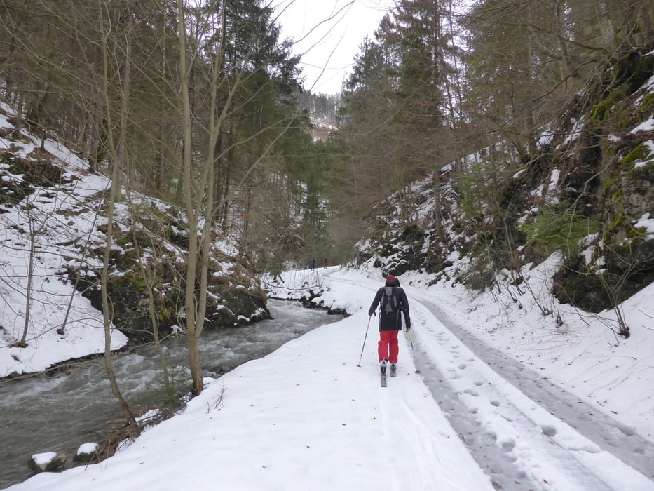
Roundtour near Liptovske Revuce


Tour map and elevation profile

  • Open Street Map
  • Google
Minimum height 687 m Maximum height 1439 m Detailed view

More about the tour author

joe007
Member since 2009

Send private message

Comments

We started few hunderds meters from the village. Followed the mounten road for about 2kms, then turned north and started the ascend. Ascend through the forest heading to N/NW.

At 1250m forest ends, heading NE to the crest. Crest was very windy.

Descend starts SE, then S.

We took a turn to E , NE at 950m, ending up in a small valley with a mounten road.

Back to the start via the mountain road, and then the main road.


GPS tracks

Trackpoints
  • GPX / Garmin Map Source (gpx) download
  • TCX / Garmin Training Center® (tcx) download
  • CRS / Garmin Training Center® (crs) download
  • Google Earth (kml) download
  • G7ToWin (g7t) download
  • TTQV (trk) download
  • Overlay (ovl) download
  • Fugawi (txt) download
  • Kompass (DAV) Track (tk) download
  • Track data sheet (pdf) download
  • Original file of the author (gpx) download

More about the tour author

joe007
Member since 2009

Send private message
Share track
Add to my favorites
Remove from my favorites
Edit tags
My score
Rate
Track: Donovaly - Ploska
Type: Ski touring
Distance: 12,9 km
Evaluated on:
Duration:
Day(s)
Hour(s)
Minute(s)
Score: Landscape Fun factor Fitness Technique