


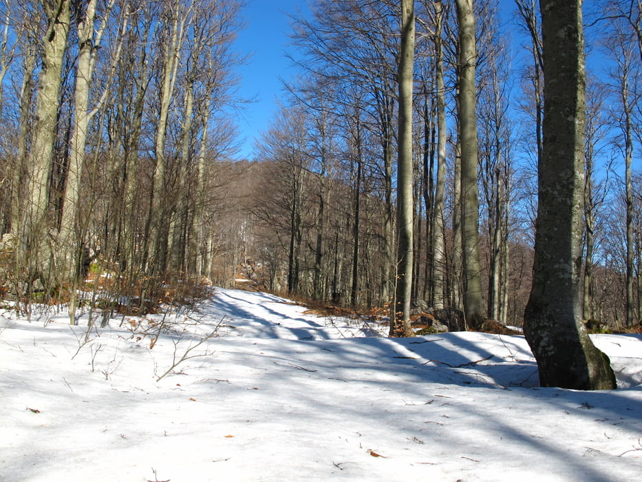
Partenza dal paesino di Stomaz, poco prima di arrivare ad Aidussina. Io ho parcheggiato nella piazzetta antistante il cimitero. Il percorso, in senso antiorario, non segue sempre dei sentieri segnati ma comunque ben evidenti, tranne in discesa che c'è un traverso da fare nel bosco, ma basta stare sopra il ciglione roccioso e si arriva alla strada. Cumunque volendo ci sono molte altre varianti e scorciatoie.
Further information at
http://www.hribi.netTour gallery
Tour map and elevation profile
Minimum height 99999 m
Maximum height -99999 m
More about the tour author
|
|
sioni |
Comments

GPS tracks
Trackpoints-
GPX / Garmin Map Source (gpx) download
-
TCX / Garmin Training Center® (tcx) download
-
CRS / Garmin Training Center® (crs) download
-
Google Earth (kml) download
-
G7ToWin (g7t) download
-
TTQV (trk) download
-
Overlay (ovl) download
-
Fugawi (txt) download
-
Kompass (DAV) Track (tk) download
-
Track data sheet (pdf) download
-
Original file of the author (gpx) download
More about the tour author
|
|
sioni |
Add to my favorites
Remove from my favorites
Edit tags
Open track
My score
Rate