Login

Forgot your login?

Cookies have to be accepted!
Your browser's cookie functionality is disabled. Please enable this functionality.

Not a member yet?

Register now
Login

Available for registred users only

Log in to use this feature.

Forgot your login?

Cookies have to be accepted!
Your browser's cookie functionality is disabled. Please enable this functionality.

Not a member yet?

Register now
Filter
Categories
Advanced filters
  • Distance (km)
  • Height
Save filters Reset filter

TrackRank

QRCode

Technical data

Distance10,6 km Height275 m Way down289 m Duration03:30 h:m Date28.04.2015
Scores Author User Landscape Fun factor Fitness Technique

Statistics

640 Views 1 Score 41 Downloads 4.00 Average
Rate
  • Track data sheet
  • Directions
  • Downloads

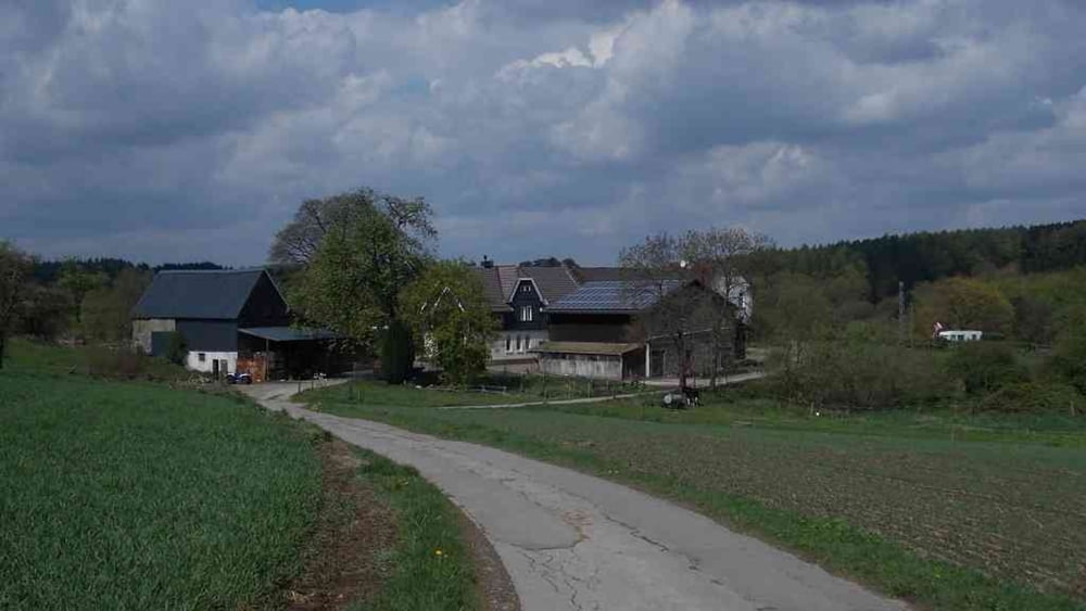
Ausgehend vom Landhaus Bilstein, geht es steil hinauf.

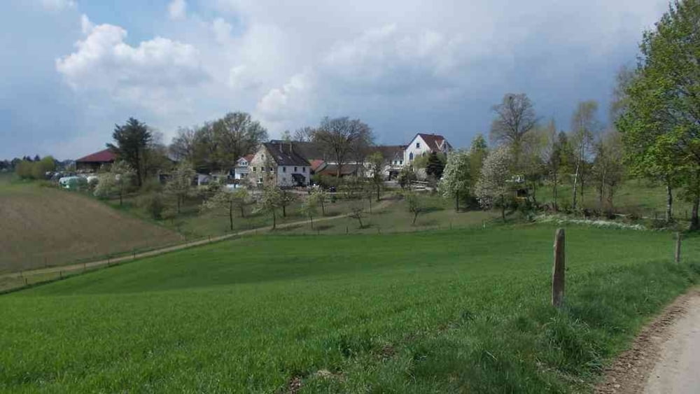
Weiter geht es durch die sehr schönen Landschaft rauf und runter. Bis auf Montag und Dienstag kann man in der Hölzernen Klinke einkehren.

Die Tour ist etwas anstrengend, wenn man  nicht sehr in Übung ist.

Viel Spaß und Gruß aus Wuppertal

Tour gallery

Tour map and elevation profile

  • Open Street Map
  • Google
Minimum height 188 m Maximum height 334 m Detailed view

More about the tour author

Uerigefan
Member since 2009

Send private message

Comments

wanderer37 on 04.07.2016

Wanderung Hölzerne Klinke

Landschaftlich super, aber führt zum Teil über Reitwege d.h. bei nicht idealem Wetter versinkt man im Schlamm. Zudem Trackpunkte sehr schlecht

Landhaus Bilstein in Wuppertal-Beyenburg

Zum Bilstein 19, 42399 Wuppertal


GPS tracks

Trackpoints
  • GPX / Garmin Map Source (gpx) download
  • TCX / Garmin Training Center® (tcx) download
  • CRS / Garmin Training Center® (crs) download
  • Google Earth (kml) download
  • G7ToWin (g7t) download
  • TTQV (trk) download
  • Overlay (ovl) download
  • Fugawi (txt) download
  • Kompass (DAV) Track (tk) download
  • Track data sheet (pdf) download
  • Original file of the author (gpx) download

More about the tour author

Uerigefan
Member since 2009

Send private message
Share track
Add to my favorites
Remove from my favorites
Edit tags
My score
Rate
Track: Beyenburg --> Hölzerne Klinke
Type: Hiking
Distance: 10,6 km
Evaluated on:
Duration:
Day(s)
Hour(s)
Minute(s)
Score: Landscape Fun factor Fitness Technique