

April 2015 : Helene Baudoux, Jon Bentley, Denis Hicks, Jon Lincoln
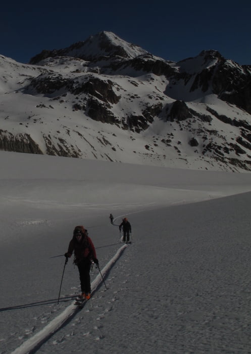
This is the Purist Haute Route (avoiding any road transport) from Argentiere Grands Montets to Zermatt via La Fouly. The route was : Refuge Argentiere, Refuge Trient via Col du Passon/Col Sup du Tour, La Fouly via Col du Grande Lui, Hospice Grand St Bernard, Refuge Velan, Refuge Valsory, Refuge Chanrion, Refuge Vignettes via Col Nord des Portons, Zermatt.
We used the Guide 'Haute Route Chamonix Zermatt' by Didier Lavigne and Francoise Damilano.
Having done the route I would recommend to avoid staying at the Hospice St Bernard and use Cabane du Plan de Jeu followed directly by the climb to the Valsory (as the guide suggests). Although staying at the Hospice is a great experience (and comfortable!), we found the morning decent horribly icy and far better to do on spring snow in the afternoon. Although La Fouly to Cabane du Plan de Jeu looks a very long day, you can take long lunch in the Hospice en route. This also means you can avoid the Velan Hut and save a day.
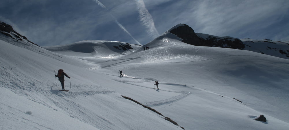
From the Refuge Chanrion, Col Nord du Portons allows you to keep in the shade a bit longer for the climb to Pigne d'Arolla. Note that this track shows the 'safe' descent to the Refuge Vignettes from Pigne d'Arolla because the snow was amazingly icy. You will want to take the direct route in good snow I am sure. (My apologies for the short section where my gps batteries failed arriving on Pigne d'Arolla.)
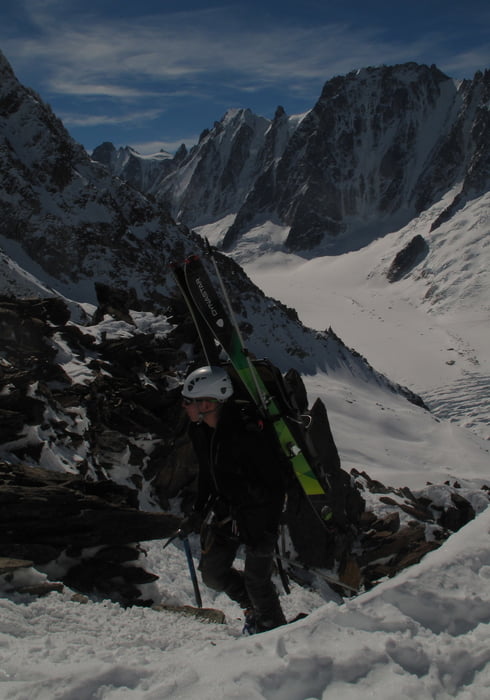
The Cols du Passon, Grande Lui, and Portons involved short sections climbing on mixed ice and rock but without any real difficulty. We were unlucky that the fantastic warm weather meant that some of the descents were quite icy (and also quite exposed in the event of a fall)
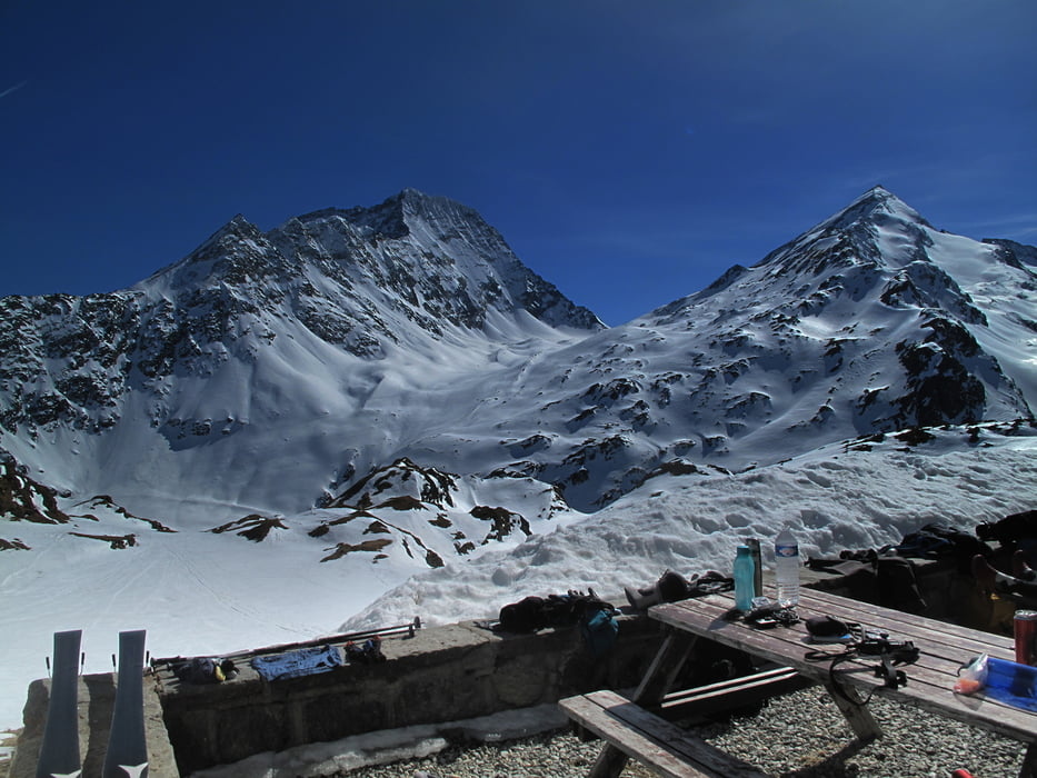
Tour gallery
Tour map and elevation profile
Minimum height 1566 m
Maximum height 3765 m
More about the tour author

|
Cham_Jam |
Comments

More about the tour author
|
|
Cham_Jam |
Add to my favorites
Remove from my favorites
Edit tags
Open track
My score
Rate