


Vom Bahnhof Bad Honnef der gelben Zuweg-Beschilderung des Rheinsteiges folgen. Mit Beginn des eigentlichen Rheinsteiges erreicht man den Wald und folgt dem sehr gut beschilderten Weg am Leyberg und dem Auge Gottes vorbei bis zum Gut Haanhof. Hier kann man entweder dem Rheinsteig Richtung Erpel folgen oder man geht wieder den gelben Zuweg-Schildern folgend durch das nette Örtchen Scheuren nach Unkel. Von hier sind es mit der Bahn ganze 3 Minuten bis zum Ausgangpunkt in Bad Honnef.
Abgesehen von den Zuwegen führt dieses Teilstück des Rheinsteiges fast ausschließlich über Waldwege. Ist auch schön, aber wer auf schöne weite Ausblicke ins Rheintal hofft sollte woanders gehen.
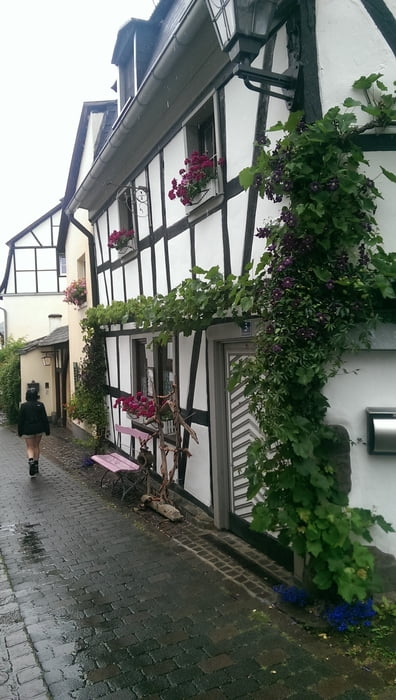
Tour gallery
Tour map and elevation profile
Minimum height 26 m
Maximum height 329 m
More about the tour author
|
|
sstraesser |
Comments

GPS tracks
Trackpoints-
GPX / Garmin Map Source (gpx) download
-
TCX / Garmin Training Center® (tcx) download
-
CRS / Garmin Training Center® (crs) download
-
Google Earth (kml) download
-
G7ToWin (g7t) download
-
TTQV (trk) download
-
Overlay (ovl) download
-
Fugawi (txt) download
-
Kompass (DAV) Track (tk) download
-
Track data sheet (pdf) download
-
Original file of the author (gpx) download
More about the tour author
|
|
sstraesser |
Add to my favorites
Remove from my favorites
Edit tags
Open track
My score
Rate