Login

Forgot your login?

Cookies have to be accepted!
Your browser's cookie functionality is disabled. Please enable this functionality.

Not a member yet?

Register now
Login

Available for registred users only

Log in to use this feature.

Forgot your login?

Cookies have to be accepted!
Your browser's cookie functionality is disabled. Please enable this functionality.

Not a member yet?

Register now
Filter
Categories
Advanced filters
  • Distance (km)
  • Height
Save filters Reset filter

TrackRank

QRCode

Technical data

Distance11,1 km Height853 m Way down865 m Duration04:30 h:m Date23.06.2015
Scores Author Landscape Fun factor Fitness Technique

Statistics

231 Views Scores 13 Downloads Average
Rate
  • Track data sheet
  • Directions
  • Downloads
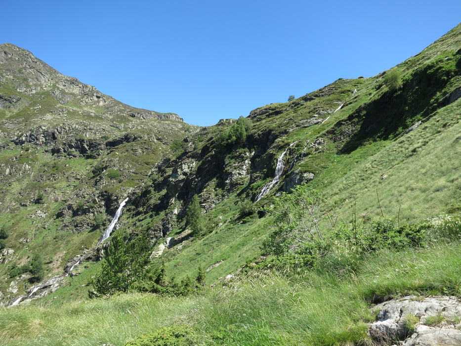
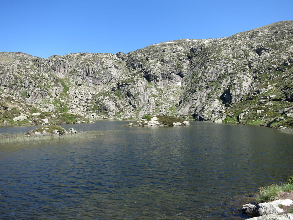
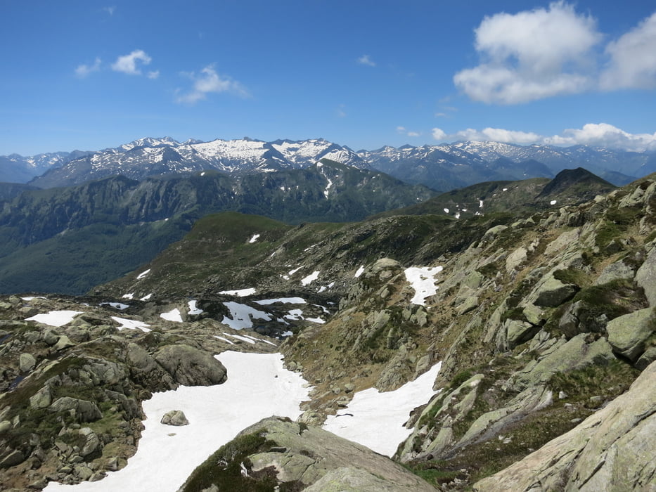
The tour starts with a nice path next to waterfalls and beautiful nature up to a little lake. Then the hike becomes more difficult and a little rock climbing (but still hiking!) is necessary. The ascend to the peak is the most difficult, but fun, part. The descend is easier because it makes a loop along the mountains ridge and down on an easy path. Overall a very nice hike that contains many different aspects of hiking (beauty, rocks, climbing, lake, waterfalls, cool peak). 

Tour gallery

Tour map and elevation profile

  • Open Street Map
  • Google
Minimum height 1364 m Maximum height 2174 m Detailed view

More about the tour author

lonest4r
Member since 2014

Send private message

Comments

GPS tracks

Trackpoints
  • GPX / Garmin Map Source (gpx) download
  • TCX / Garmin Training Center® (tcx) download
  • CRS / Garmin Training Center® (crs) download
  • Google Earth (kml) download
  • G7ToWin (g7t) download
  • TTQV (trk) download
  • Overlay (ovl) download
  • Fugawi (txt) download
  • Kompass (DAV) Track (tk) download
  • Track data sheet (pdf) download
  • Original file of the author (gpx) download

More about the tour author

lonest4r
Member since 2014

Send private message
Share track
Add to my favorites
Remove from my favorites
Edit tags
My score
Rate
Track: Pic des Trois Seigneurs
Type: Mountain hiking
Distance: 11,1 km
Evaluated on:
Duration:
Day(s)
Hour(s)
Minute(s)
Score: Landscape Fun factor Fitness Technique