Login

Forgotten password?

Cookies have to be accepted!
Your browser's cookie functionality is disabled. Please enable this functionality.

Not a member yet?

Register now
Login

Available for registred users only

Log in to use this feature.

Forgotten password?

Cookies have to be accepted!
Your browser's cookie functionality is disabled. Please enable this functionality.

Not a member yet?

Register now
Filter
Categories
Advanced filters
  • Distance (km)
  • Height
Save filters Reset filter

TrackRank

QRCode

Technical data

Distance35,0 km Height1425 m Way down1426 m Duration04:00 h:m Date26.06.2015
Scores Author Landscape Fun factor Fitness Technique

Statistics

792 Views Scores 70 Downloads Average
Rate
  • Track data sheet
  • Directions
  • Downloads

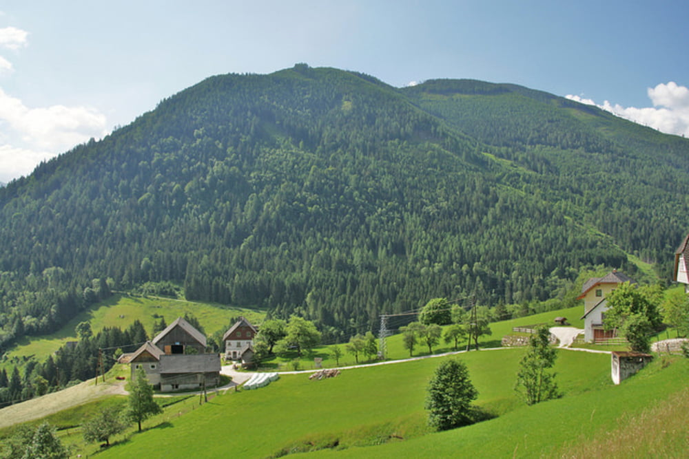
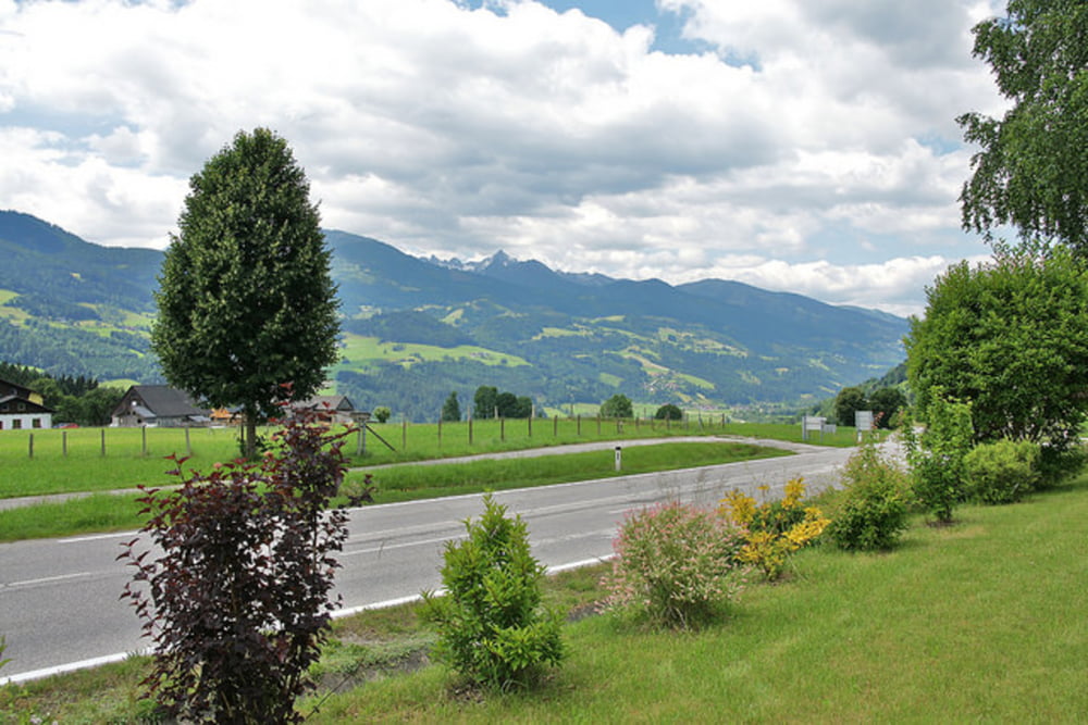
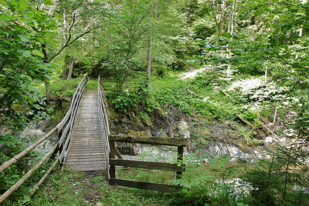
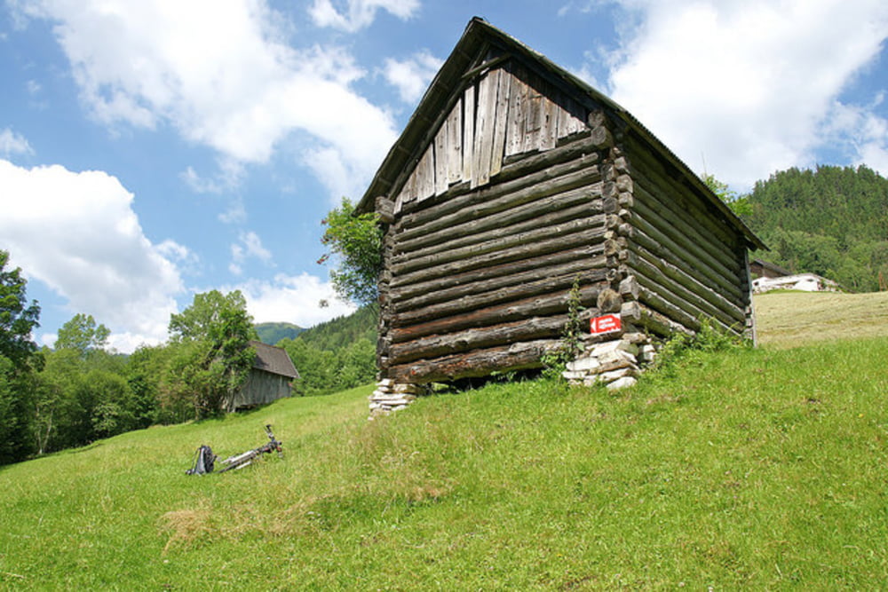
Die Strubschlucht Runde besteht zwar vorwiegend aus Asphalt 31,5 km und Schotter 1,8 km, aber die restlichen 1,7 km sind sehr interessante und teilweise technisch anspruchsvolle Feldwege und Singletrails. Auch die landschaftlich sehr schöne Gegend im Naturpark Sölktäler ist ein großer Anreiz diese sehr gut beschilderte MTB Tour zu fahren.

mehr Infos, Fotos und Video auf biketours4you.at

Tour gallery

Tour map and elevation profile

  • Open Street Map
  • Google
Minimum height 662 m Maximum height 1199 m Detailed view

More about the tour author

Trek1400d
Member since 2008

Send private message

Comments

More about the tour author

Trek1400d
Member since 2008

Send private message
Share track
Add to my favorites
Remove from my favorites
Edit tags
My score
Rate
Track: Strubschlucht Runde
Type: Mountain bike
Distance: 35,0 km
Evaluated on:
Duration:
Day(s)
Hour(s)
Minute(s)
Score: Landscape Fun factor Fitness Technique