Login

Forgot your login?

Cookies have to be accepted!
Your browser's cookie functionality is disabled. Please enable this functionality.

Not a member yet?

Register now
Login

Available for registred users only

Log in to use this feature.

Forgot your login?

Cookies have to be accepted!
Your browser's cookie functionality is disabled. Please enable this functionality.

Not a member yet?

Register now
Filter
Categories
Advanced filters
  • Distance (km)
  • Height
Save filters Reset filter

TrackRank

QRCode

Technical data

Distance4,7 km Height142 m Way down261 m Duration01:00 h:m Date05.07.2015
Scores Author Landscape Fun factor Fitness Technique

Statistics

127 Views Scores 14 Downloads Average
Rate
  • Track data sheet
  • Directions
  • Downloads
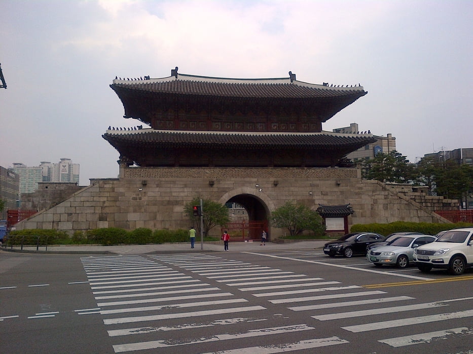
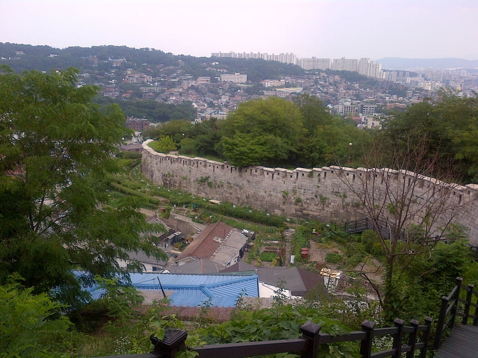
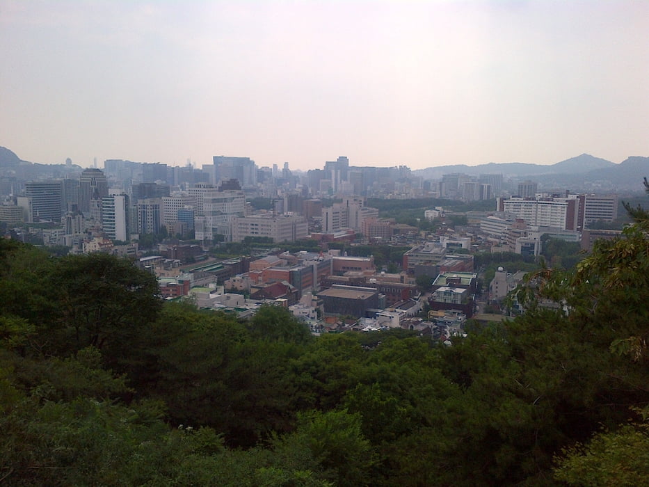
Easy hiking tour along part of the ancient city wall of Seoul. Some nice views to the city. Tour ends at Dongdaemun gate: en.wikipedia.org/wiki/Heunginjimun

Further information at

http://seoulcitywall.seoul.go.kr/front/eng/index.do

Tour gallery

Tour map and elevation profile

  • Open Street Map
  • Google
Minimum height 41 m Maximum height 192 m Detailed view

More about the tour author

grenz-pfad-fahrer
Member since 2009

Send private message

Comments

From Anguk station take bus number 2 to Waryong park, where the track starts. From Dongdaemun gate you can enter the subway and take either line number 1 or 4 to get back to your starting point.

GPS tracks

Trackpoints
  • GPX / Garmin Map Source (gpx) download
  • TCX / Garmin Training Center® (tcx) download
  • CRS / Garmin Training Center® (crs) download
  • Google Earth (kml) download
  • G7ToWin (g7t) download
  • TTQV (trk) download
  • Overlay (ovl) download
  • Fugawi (txt) download
  • Kompass (DAV) Track (tk) download
  • Track data sheet (pdf) download
  • Original file of the author (gpx) download

More about the tour author

grenz-pfad-fahrer
Member since 2009

Send private message
Share track
Add to my favorites
Remove from my favorites
Edit tags
My score
Rate
Track: Seoul City Wall - Naksan Mountain
Type: Hiking
Distance: 4,7 km
Evaluated on:
Duration:
Day(s)
Hour(s)
Minute(s)
Score: Landscape Fun factor Fitness Technique