


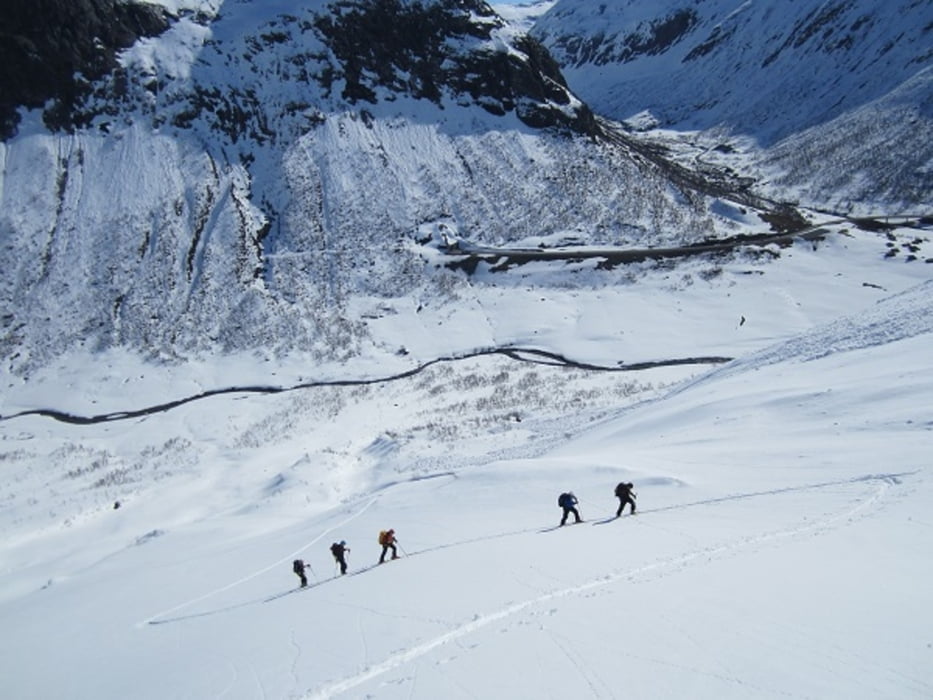
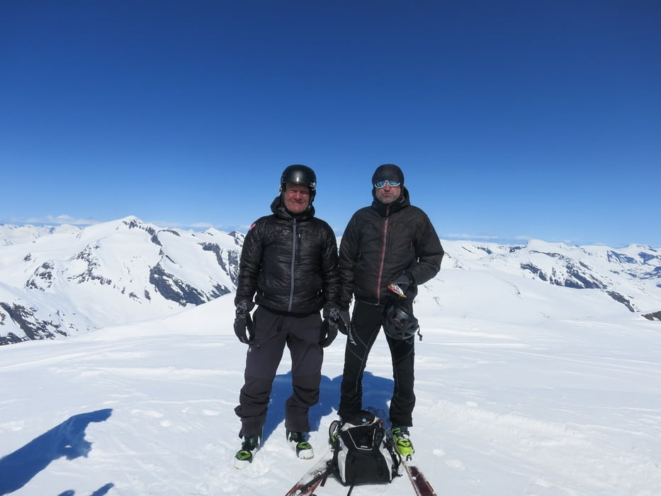
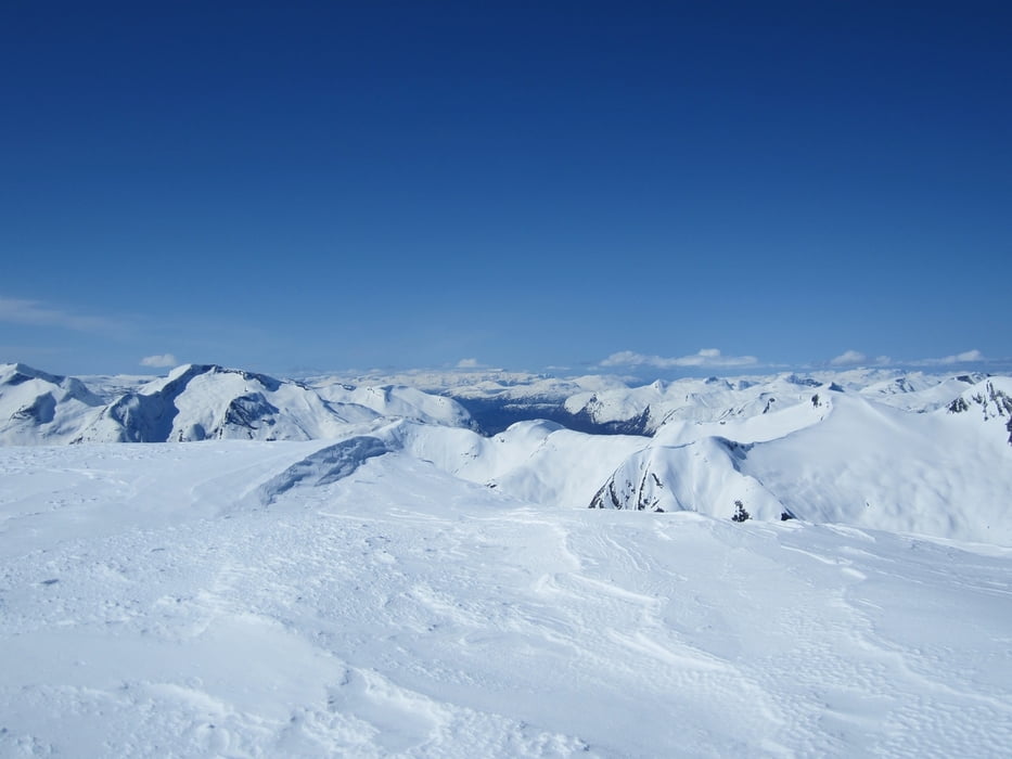
Skitour auf den Midtstolhyrna im Geirangergebirge.
Ausgangspunkt: 1.Tunnelportal an der Straße 15 im Strynfjellet. Von hier fährt man etwa 100 Hm zu einem Bach hinab und überquert diesen auf einer Holzbrücke. Nun geht es in einem Kar steil hinauf. Wegen möglicher Lawinengefahr sollte die Aufstiegsspur auf einem ca. 30 Meter breiten Rücken, der sich im Kar befindet, angelegt werden. Oberhalb des Kar wird das Gelände etwas flacher. Man weicht im Aufstiegssinne nach links aus und steigt von der Rückseite auf den Gipfel.
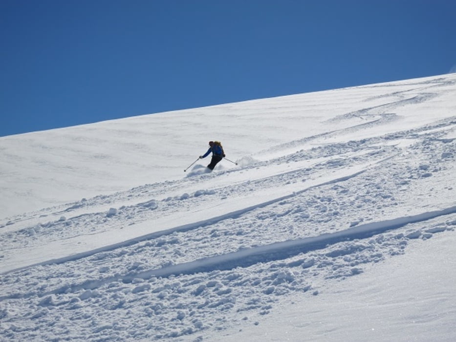
Abfahrt wie Aufstieg.
Tour gallery
Tour map and elevation profile
Minimum height 568 m
Maximum height 1837 m
More about the tour author
|
|
RudolfTill |
Comments

Von Hjelle fährt man auf der Straße 15 den Pass Richtung Grotli hinauf und parkt am
1. Tunnelportal.
1. Tunnelportal.
GPS tracks
Trackpoints-
GPX / Garmin Map Source (gpx) download
-
TCX / Garmin Training Center® (tcx) download
-
CRS / Garmin Training Center® (crs) download
-
Google Earth (kml) download
-
G7ToWin (g7t) download
-
TTQV (trk) download
-
Overlay (ovl) download
-
Fugawi (txt) download
-
Kompass (DAV) Track (tk) download
-
Track data sheet (pdf) download
-
Original file of the author (gpx) download
More about the tour author
|
|
RudolfTill |
Add to my favorites
Remove from my favorites
Edit tags
Open track
My score
Rate