


Knackige Auffahrt zum Col de la Seigne mit Schiebepassagen zum Ende hin. Traumhafte Ausblicke und Singletrail nach la Chapieux. Ab hier sind wir direkt die Straße über den Cormet de Roselend nach Beaufort gefahren.
Alternativ kann man über les Echines, Grandville, Pont du Genie, Vulmix, les Chapelles,Valezan, la Bergerie Chavonnes,les Plan de Areches, Laval und Lac de St.Guerin nach Beaufort fahren.( um einiges länger und mehr Höhenmeter)
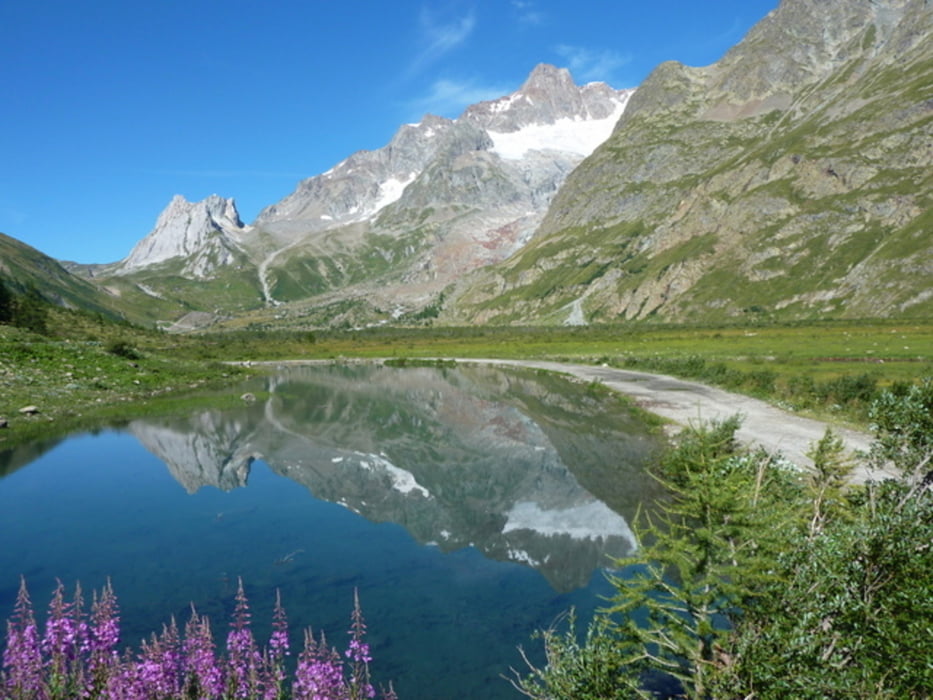
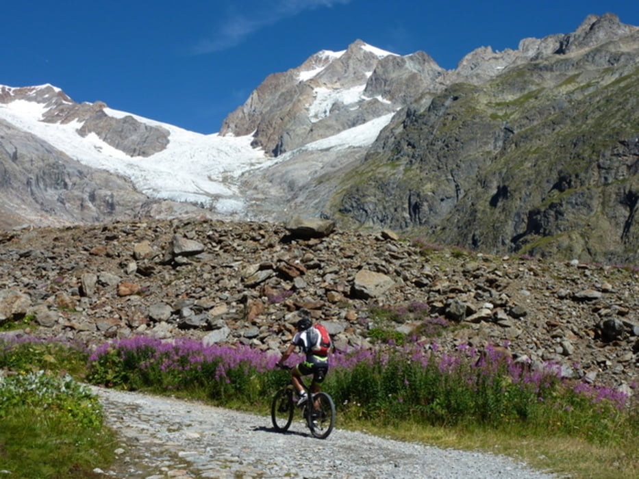
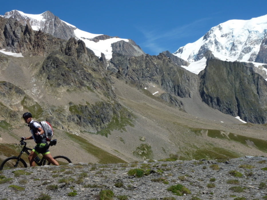
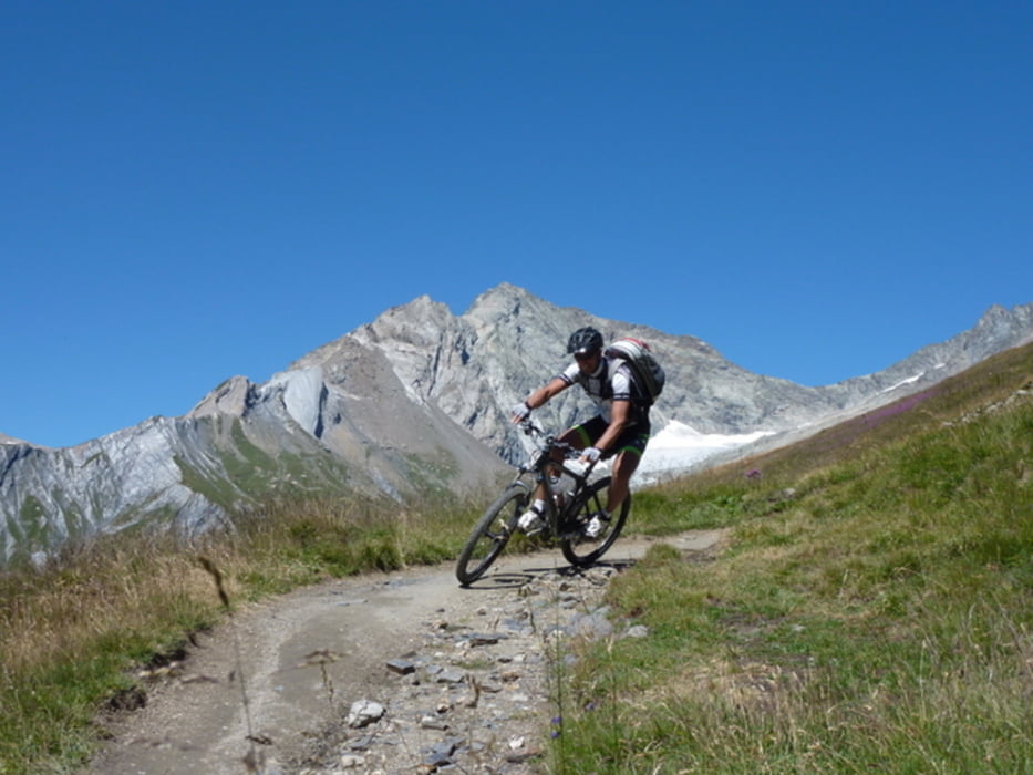
Tour gallery
Tour map and elevation profile
Minimum height 802 m
Maximum height 2511 m
More about the tour author
|
|
CF2008 |
Comments

GPS tracks
Trackpoints-
GPX / Garmin Map Source (gpx) download
-
TCX / Garmin Training Center® (tcx) download
-
CRS / Garmin Training Center® (crs) download
-
Google Earth (kml) download
-
G7ToWin (g7t) download
-
TTQV (trk) download
-
Overlay (ovl) download
-
Fugawi (txt) download
-
Kompass (DAV) Track (tk) download
-
Track data sheet (pdf) download
-
Original file of the author (gpx) download
More about the tour author
|
|
CF2008 |
Add to my favorites
Remove from my favorites
Edit tags
Open track
My score
Rate