Login

Forgot your login?

Cookies have to be accepted!
Your browser's cookie functionality is disabled. Please enable this functionality.

Not a member yet?

Register now
Login

Available for registred users only

Log in to use this feature.

Forgot your login?

Cookies have to be accepted!
Your browser's cookie functionality is disabled. Please enable this functionality.

Not a member yet?

Register now
Filter
Categories
Advanced filters
  • Distance (km)
  • Height
Save filters Reset filter

TrackRank

QRCode

Technical data

Distance57,9 km Height1669 m Way down1660 m Duration03:00 h:m Date12.09.2015
Scores Author Landscape Fun factor Fitness Technique

Statistics

472 Views Scores 66 Downloads Average
Rate
  • Track data sheet
  • Directions
  • Downloads

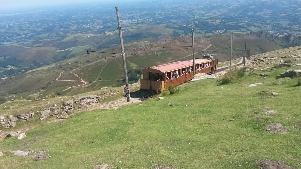
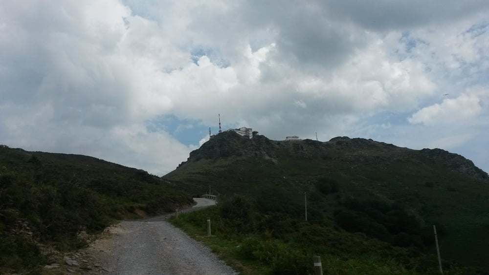
Schöne und anspruchsvolle Tour, die letzten beiden Kilometer bis zum Gipfel sind unglaublich hart! Vorher ist der Weg gut und problemlos fahrbar. Ich habe ca. 1 Kilometer vor dem Gipfel umgedreht, deshalb führt die GPS Aufzeichnung nicht bis zum Gipfel.

Ich hoffe die Route hilft einigen von Euch. Die Wege in dieser Gegend sind schlecht beschriftet und dann zumeist irgendwann nicht mehr fahrbar. Ich habe diesen Weg auf den Gipfel auch erst nach mehreren Urlaubstagen gefunden nachdem ich von der anderen Seite zu Fuß hinauf gewandert bin.

Ich bin bei Kilometer 29,5 und 39,5 irrtümlich nach links abgebogen. Bei 29,5 hat der Weg an einer bewirtschafteten Berghütte geendet (auch nicht das Schlechteste). In beiden Fällen bin ich im Anschluss zurück gefahren und hab dann den richtigen Weg genommen.

Tour gallery

Tour map and elevation profile

  • Open Street Map
  • Google
Minimum height 49 m Maximum height 631 m Detailed view

More about the tour author

Grabbie26
Member since 2009

Send private message

Comments

GPS tracks

Trackpoints
  • GPX / Garmin Map Source (gpx) download
  • TCX / Garmin Training Center® (tcx) download
  • CRS / Garmin Training Center® (crs) download
  • Google Earth (kml) download
  • G7ToWin (g7t) download
  • TTQV (trk) download
  • Overlay (ovl) download
  • Fugawi (txt) download
  • Kompass (DAV) Track (tk) download
  • Track data sheet (pdf) download
  • Original file of the author (gpx) download

More about the tour author

Grabbie26
Member since 2009

Send private message
Share track
Add to my favorites
Remove from my favorites
Edit tags
My score
Rate
Track: La Rhune
Type: Mountain bike
Distance: 57,9 km
Evaluated on:
Duration:
Day(s)
Hour(s)
Minute(s)
Score: Landscape Fun factor Fitness Technique