


Der Weg beginnt an Kate Kearney`s Cottage in der Nähe von Killarney und ist sicherlich kein Geheimtip, weil sich am Ring of Kerry wohl die meißten Touristen überhaupt aufhalten. Wer also einsame Pfade sucht sollte woanders hingehen.
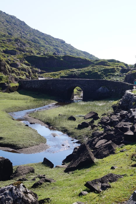
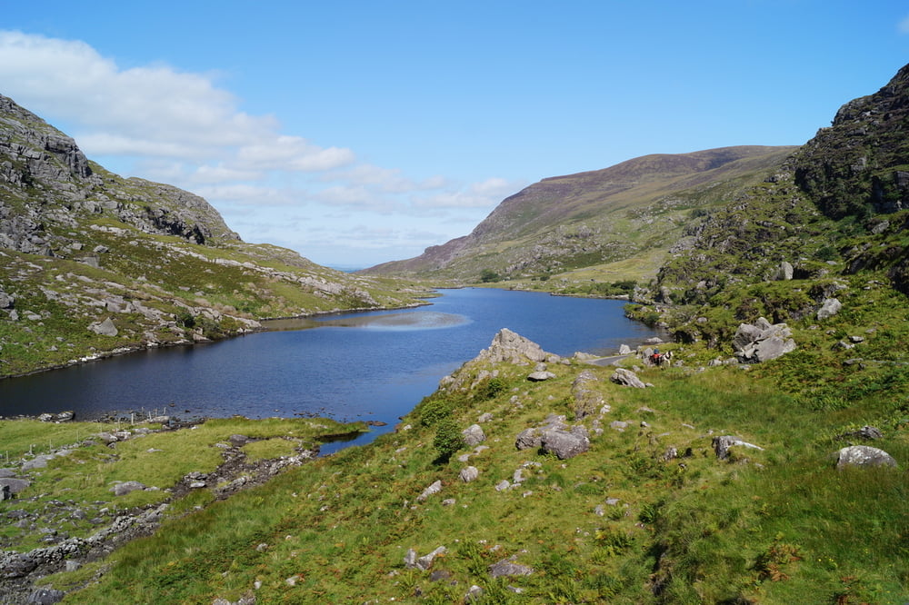
Landschaftlich lohnt sich der Weg durch das von Gletschern geformte sehr schöne Tal aber auf jeden Fall und ein Verlaufen ist auf dem durchgehend geteerten Weg absolut unmöglich, was in Irland auch mal schön ist...
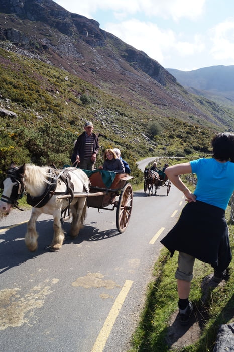
Wer nicht alles zu Fuß gehen will kann sich auch einen Weg von einer der vielen Pferdekutschen vor Ort mitnehmen lassen.
Tour gallery
Tour map and elevation profile
Minimum height 57 m
Maximum height 245 m
More about the tour author
|
|
sstraesser |
Comments

GPS tracks
Trackpoints-
GPX / Garmin Map Source (gpx) download
-
TCX / Garmin Training Center® (tcx) download
-
CRS / Garmin Training Center® (crs) download
-
Google Earth (kml) download
-
G7ToWin (g7t) download
-
TTQV (trk) download
-
Overlay (ovl) download
-
Fugawi (txt) download
-
Kompass (DAV) Track (tk) download
-
Track data sheet (pdf) download
-
Original file of the author (gpx) download
More about the tour author
|
|
sstraesser |
Add to my favorites
Remove from my favorites
Edit tags
Open track
My score
Rate