Login

Forgot your login?

Cookies have to be accepted!
Your browser's cookie functionality is disabled. Please enable this functionality.

Not a member yet?

Register now
Login

Available for registred users only

Log in to use this feature.

Forgot your login?

Cookies have to be accepted!
Your browser's cookie functionality is disabled. Please enable this functionality.

Not a member yet?

Register now
Filter
Categories
Advanced filters
  • Distance (km)
  • Height
Save filters Reset filter

TrackRank

QRCode

Technical data

Distance14,4 km Height440 m Way down441 m Duration04:20 h:m Date29.10.2015
Scores Author Landscape Fun factor Fitness Technique

Statistics

626 Views Scores 48 Downloads Average
Rate
  • Track data sheet
  • Directions
  • Downloads

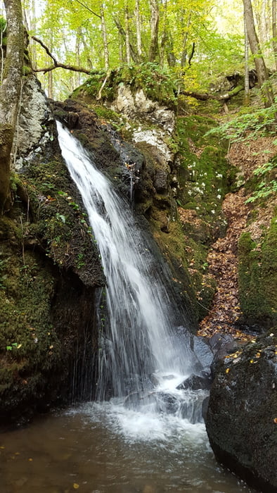
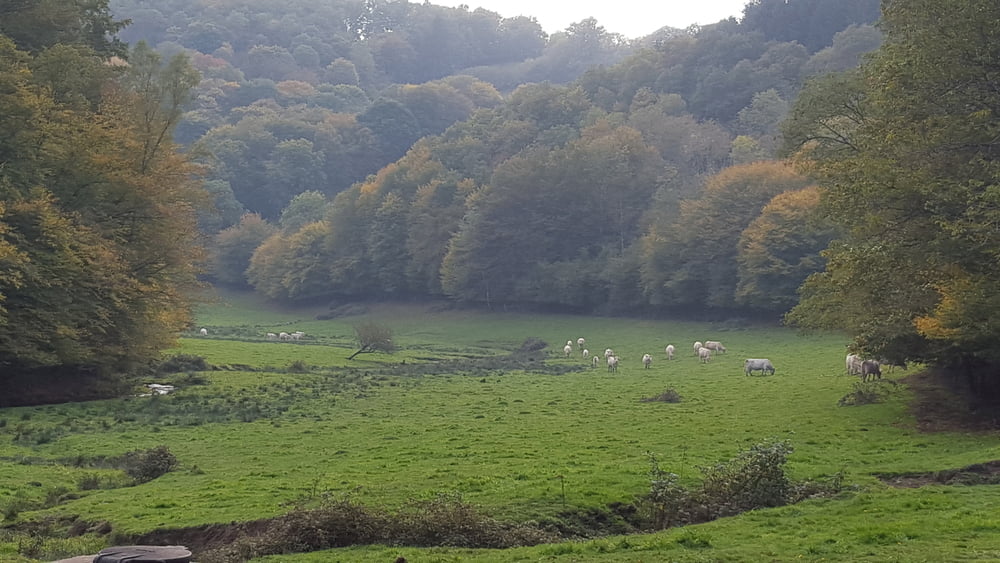
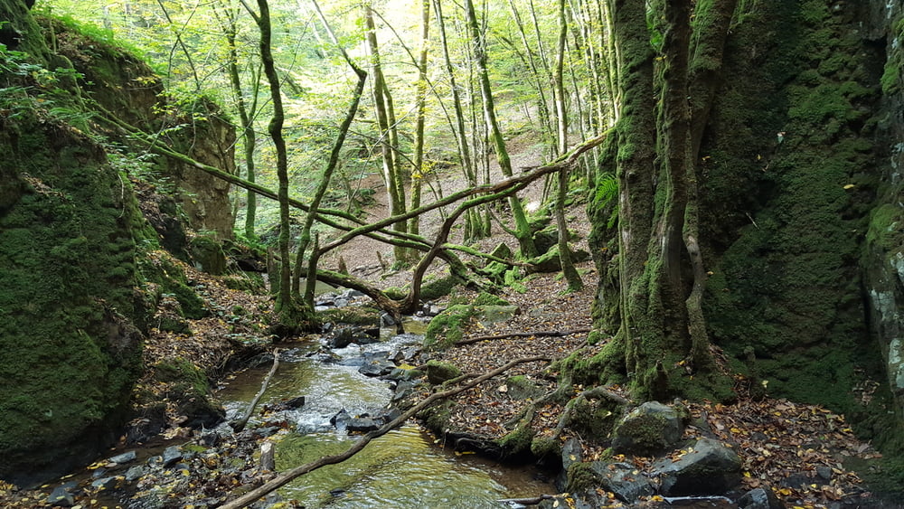
Wanderung von Villapourcon über Wald- und Feldwege zur wilden Schlucht mit Wasserfall.

Der Zugang zu der Schlucht ist am Feldweg ausgeschildert. Da er unweit eines Ortes und einer Straße ist, begegnet man hier am Wochenende of Spatziergängern.


Further information at

http://tourisme.parcdumorvan.org/un-kilometre-a-pied_fr_04_t56.html

Tour gallery

Tour map and elevation profile

  • Open Street Map
  • Google
Minimum height 413 m Maximum height 675 m Detailed view

More about the tour author

wickyg
Member since 2010

Send private message

Comments

Auf N81 von Autun kommend, Abzweig rechts auf D3 oder später D61, die dann die D3 kreutzt, der man links nach Villapourcon folgt. Parken in Ortsmitte.

GPS tracks

Trackpoints
  • GPX / Garmin Map Source (gpx) download
  • TCX / Garmin Training Center® (tcx) download
  • CRS / Garmin Training Center® (crs) download
  • Google Earth (kml) download
  • G7ToWin (g7t) download
  • TTQV (trk) download
  • Overlay (ovl) download
  • Fugawi (txt) download
  • Kompass (DAV) Track (tk) download
  • Track data sheet (pdf) download
  • Original file of the author (gpx) download

More about the tour author

wickyg
Member since 2010

Send private message
Share track
Add to my favorites
Remove from my favorites
Edit tags
My score
Rate
Track: La Cascade de Dragne
Type: Hiking
Distance: 14,4 km
Evaluated on:
Duration:
Day(s)
Hour(s)
Minute(s)
Score: Landscape Fun factor Fitness Technique