Login

Forgot your login?

Cookies have to be accepted!
Your browser's cookie functionality is disabled. Please enable this functionality.

Not a member yet?

Register now
Login

Available for registred users only

Log in to use this feature.

Forgot your login?

Cookies have to be accepted!
Your browser's cookie functionality is disabled. Please enable this functionality.

Not a member yet?

Register now
Filter
Categories
Advanced filters
  • Distance (km)
  • Height
Save filters Reset filter

TrackRank

QRCode

Technical data

Distance4,2 km Height61 m Way down63 m Duration01:00 h:m Date05.11.2015
Scores Author Landscape Fun factor Fitness Technique

Statistics

470 Views Scores 25 Downloads Average
Rate
  • Track data sheet
  • Directions
  • Downloads

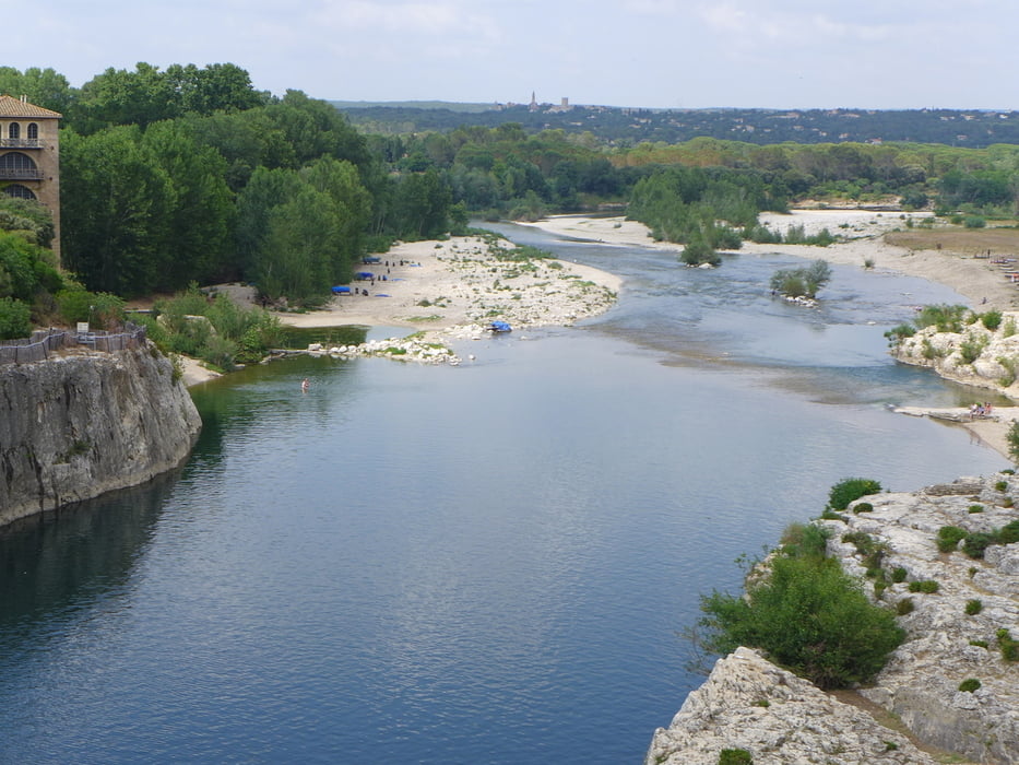
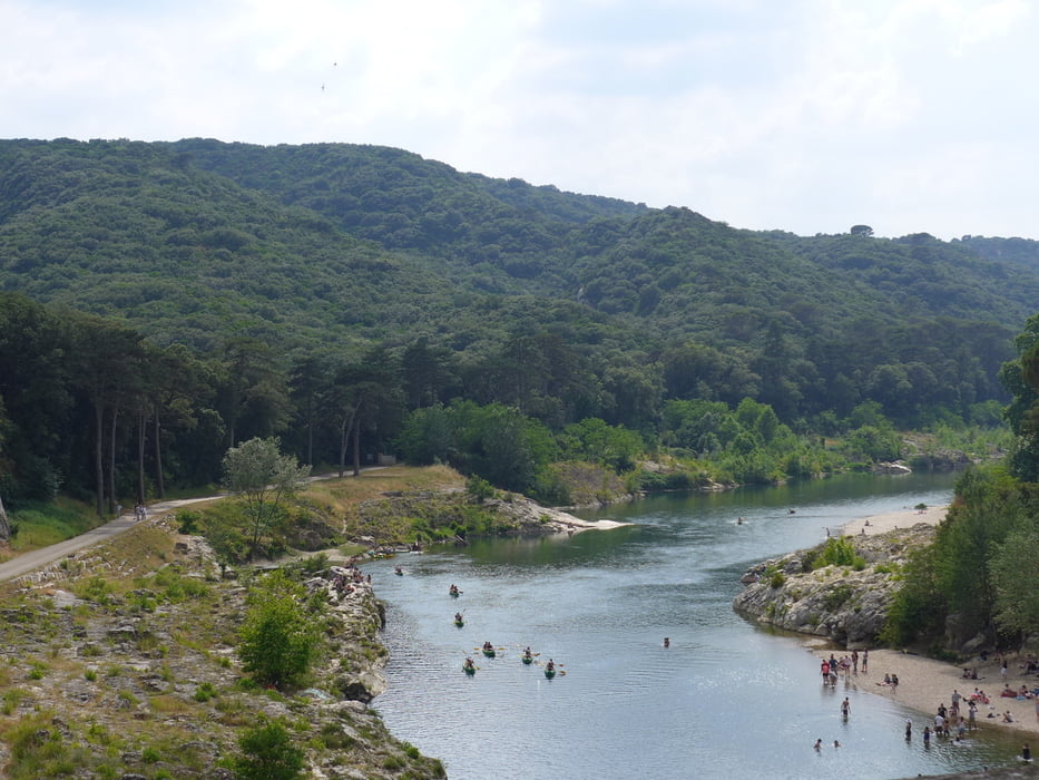
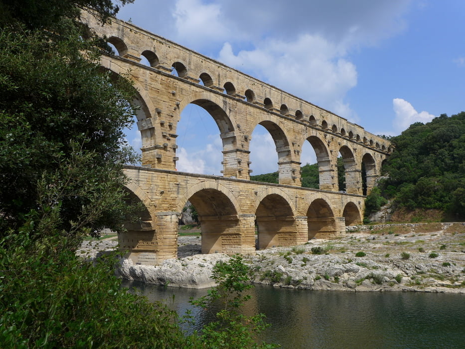
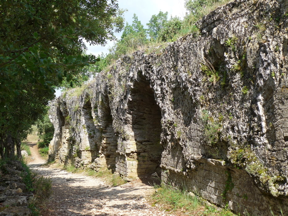
Wegverlauf: Straßenkreuzung D981/D227 westl. Bégude de Vers Pont du Gard - Pont du Gard - D981/D227

Spaziergang zur Brücke. Man spart so die hohe Gebühr auf dem offiziellen Parkplatz.


Tour gallery

Tour map and elevation profile

  • Open Street Map
  • Google
Minimum height 34 m Maximum height 73 m Detailed view

More about the tour author

lothardomnik
Member since 2009

Send private message

Comments

GPS tracks

Trackpoints
  • GPX / Garmin Map Source (gpx) download
  • TCX / Garmin Training Center® (tcx) download
  • CRS / Garmin Training Center® (crs) download
  • Google Earth (kml) download
  • G7ToWin (g7t) download
  • TTQV (trk) download
  • Overlay (ovl) download
  • Fugawi (txt) download
  • Kompass (DAV) Track (tk) download
  • Track data sheet (pdf) download
  • Original file of the author (gpx) download

More about the tour author

lothardomnik
Member since 2009

Send private message
Share track
Add to my favorites
Remove from my favorites
Edit tags
My score
Rate
Track: Pont du Gard
Type: Hiking
Distance: 4,2 km
Evaluated on:
Duration:
Day(s)
Hour(s)
Minute(s)
Score: Landscape Fun factor Fitness Technique