Login

Forgot your login?

Cookies have to be accepted!
Your browser's cookie functionality is disabled. Please enable this functionality.

Not a member yet?

Register now
Login

Available for registred users only

Log in to use this feature.

Forgot your login?

Cookies have to be accepted!
Your browser's cookie functionality is disabled. Please enable this functionality.

Not a member yet?

Register now
Filter
Categories
Advanced filters
  • Distance (km)
  • Height
Save filters Reset filter

TrackRank

QRCode

Technical data

Distance31,7 km Height1059 m Way down1144 m Duration03:00 h:m Date20.12.2015
Scores Author User Landscape Fun factor Fitness Technique

Statistics

330 Views 1 Score 58 Downloads 4.00 Average
Rate
  • Track data sheet
  • Directions
  • Downloads

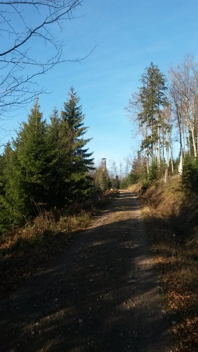
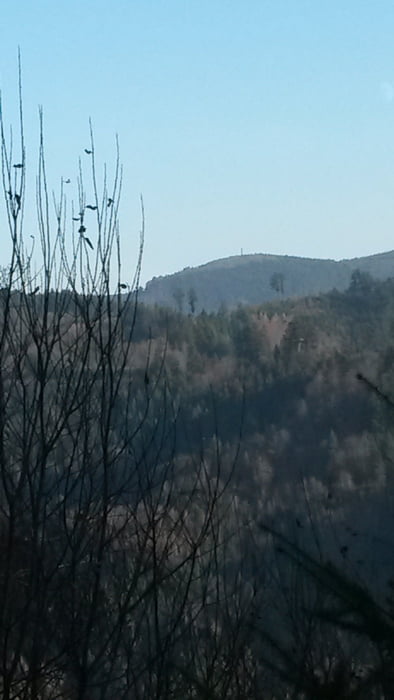
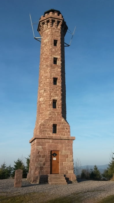
Wir starten in Fessenbach beim Haus am Rebberg. Los geht's durch die Rebberge zum Hohen Horn. Von dort auf leichtem Single Trail Richtung Fritscheneck und dann hoch zum Brandeckturm, unserem zweiten Ziel. Von dort erst einmal eine Abfahrt über Pfade und Wege zum Brandecklindle.

Von da ab immer Richtung Mossturm, unserem letzten Ziel. Vom Moosturm geht es auf ähnlichem Weg wieder zurück, wobei es fast nur noch bergab geht.

Tour gallery

Tour map and elevation profile

  • Open Street Map
  • Google
Minimum height 218 m Maximum height 871 m Detailed view

More about the tour author

buehlems
Member since 2008

Send private message

Comments

GPS tracks

Trackpoints
  • GPX / Garmin Map Source (gpx) download
  • TCX / Garmin Training Center® (tcx) download
  • CRS / Garmin Training Center® (crs) download
  • Google Earth (kml) download
  • G7ToWin (g7t) download
  • TTQV (trk) download
  • Overlay (ovl) download
  • Fugawi (txt) download
  • Kompass (DAV) Track (tk) download
  • Track data sheet (pdf) download
  • Original file of the author (gpx) download

More about the tour author

buehlems
Member since 2008

Send private message
Share track
Add to my favorites
Remove from my favorites
Edit tags
My score
Rate
Track: Drei Türme
Type: Mountain bike
Distance: 31,7 km
Evaluated on:
Duration:
Day(s)
Hour(s)
Minute(s)
Score: Landscape Fun factor Fitness Technique