Login

Forgot your login?

Cookies have to be accepted!
Your browser's cookie functionality is disabled. Please enable this functionality.

Not a member yet?

Register now
Login

Available for registred users only

Log in to use this feature.

Forgot your login?

Cookies have to be accepted!
Your browser's cookie functionality is disabled. Please enable this functionality.

Not a member yet?

Register now
Filter
Categories
Advanced filters
  • Distance (km)
  • Height
Save filters Reset filter

TrackRank

QRCode

Technical data

Distance4,4 km Height411 m Way down398 m Duration00:00 h:m Date08.02.2016
Scores Author Landscape Fun factor Fitness Technique

Statistics

1090 Views Scores 25 Downloads Average
Rate
  • Track data sheet
  • Directions
  • Downloads
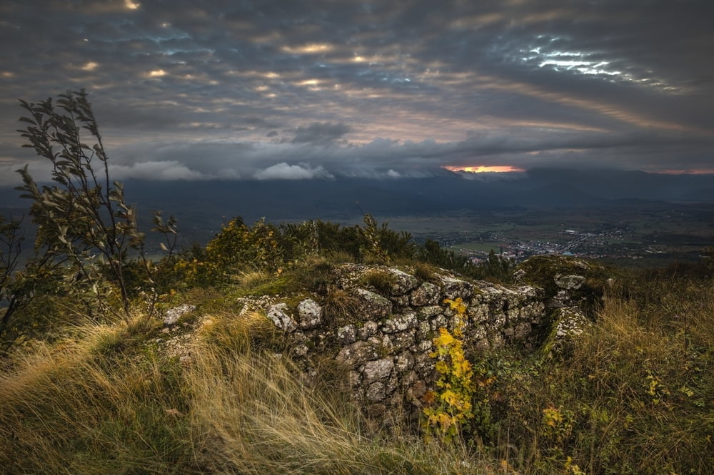
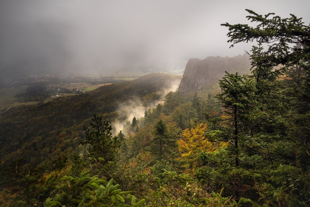
Hike to the ruines of old fort Mrsinj Grad. Beautiful view of Korenica and soroundings.

Tour gallery

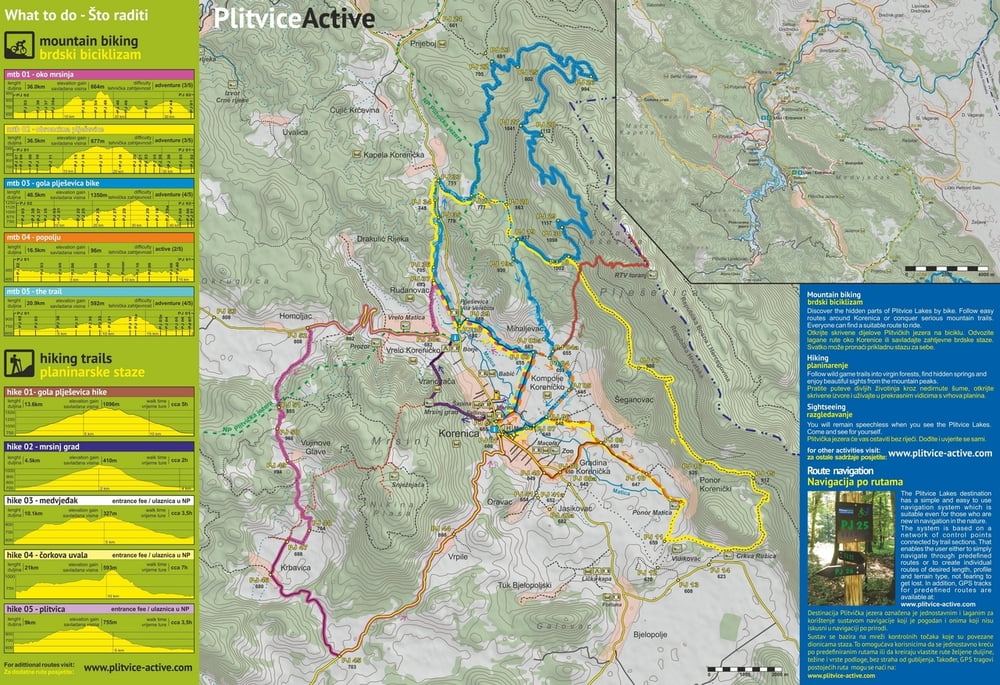
Tour map and elevation profile

  • Open Street Map
  • Google
Minimum height 662 m Maximum height 1081 m Detailed view

More about the tour author

PlitviceActive
Member since 2013

Send private message

Comments

Start in the center of Korenica, end at Borje Camp & Restaurant.

GPS tracks

Trackpoints
  • GPX / Garmin Map Source (gpx) download
  • TCX / Garmin Training Center® (tcx) download
  • CRS / Garmin Training Center® (crs) download
  • Google Earth (kml) download
  • G7ToWin (g7t) download
  • TTQV (trk) download
  • Overlay (ovl) download
  • Fugawi (txt) download
  • Kompass (DAV) Track (tk) download
  • Track data sheet (pdf) download
  • Original file of the author (gpx) download

More about the tour author

PlitviceActive
Member since 2013

Send private message
Share track
Add to my favorites
Remove from my favorites
Edit tags
My score
Rate
Track: Hike 02 - Mrsinj Grad
Type: Mountain hiking
Distance: 4,4 km
Evaluated on:
Duration:
Day(s)
Hour(s)
Minute(s)
Score: Landscape Fun factor Fitness Technique