Login

Forgot your login?

Cookies have to be accepted!
Your browser's cookie functionality is disabled. Please enable this functionality.

Not a member yet?

Register now
Login

Available for registred users only

Log in to use this feature.

Forgot your login?

Cookies have to be accepted!
Your browser's cookie functionality is disabled. Please enable this functionality.

Not a member yet?

Register now
Filter
Categories
Advanced filters
  • Distance (km)
  • Height
Save filters Reset filter

TrackRank

QRCode

Technical data

Distance18,4 km Height745 m Way down755 m Duration06:00 h:m Date03.03.2016
Scores Author Landscape Fun factor Fitness Technique

Statistics

683 Views Scores 19 Downloads Average
Rate
  • Track data sheet
  • Directions
  • Downloads

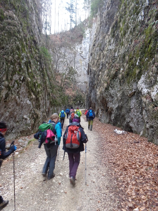
Von der Villa Hermani geht es vorerst Richtung Pestera. Vor der 2. Weggabelung geht es über die Wiese zu einem Bauernhof und den Hang hinunter zu den nächsten Häusern. Auf der Straße wird der Schluchteingang erreicht. Durch die eindrucksvolle Schlucht bis zu einem Marterl. Hier rechts weiter aufwärts; vorbei an der Abzweigung zur Curmatura-Hütte und dann links weiter auf der Straße (Wegmarkierung: Rotes Kreuz).

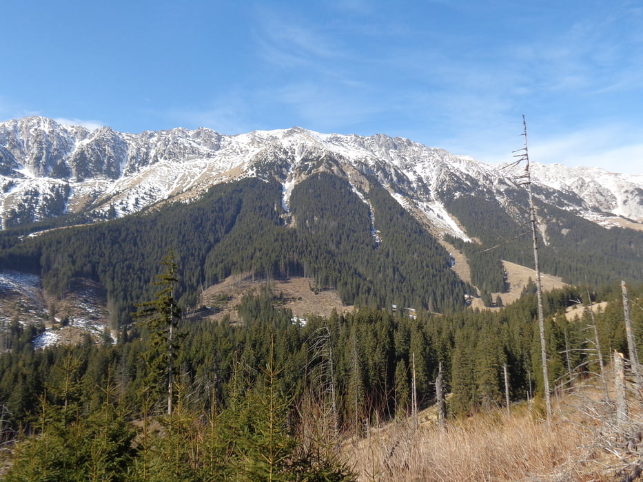
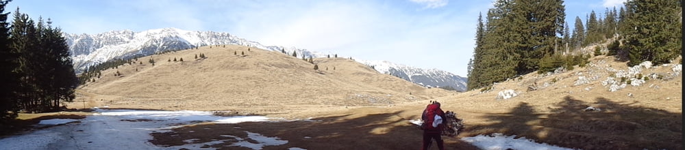
Beim Wegpunkt La Table ist der höchste Punkt der Wanderung erreicht. Großartige Blicke auf den Grat des Königsteins und gegenüber zum Bucegi-Gebirge.

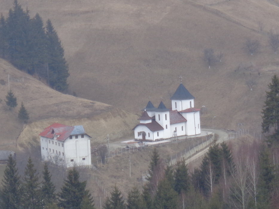
Auf dem markierten Weg weiter bis kurz vor die Casa Folea. Links aufwärts und oberhalb des Klosters der Markierung weiß-rot-weiß zurück zum Ausgangspunkt folgen.


Further information at

http://www.cntours.eu/villa_hermani.htm

Tour gallery

Tour map and elevation profile

  • Open Street Map
  • Google
Minimum height 885 m Maximum height 1445 m Detailed view

More about the tour author

JoHangler
Member since 2013

Send private message

Comments

Von Brasvov kommend, nach Zarnesti und den Wegweisern folgend hinauf in das Bergdorf Magura.

GPS tracks

Trackpoints
  • GPX / Garmin Map Source (gpx) download
  • TCX / Garmin Training Center® (tcx) download
  • CRS / Garmin Training Center® (crs) download
  • Google Earth (kml) download
  • G7ToWin (g7t) download
  • TTQV (trk) download
  • Overlay (ovl) download
  • Fugawi (txt) download
  • Kompass (DAV) Track (tk) download
  • Track data sheet (pdf) download
  • Original file of the author (gpx) download

More about the tour author

JoHangler
Member since 2013

Send private message
Share track
Add to my favorites
Remove from my favorites
Edit tags
My score
Rate
Track: Durch die Zerneschter Klamm
Type: Hiking
Distance: 18,4 km
Evaluated on:
Duration:
Day(s)
Hour(s)
Minute(s)
Score: Landscape Fun factor Fitness Technique