Login

Forgot your login?

Cookies have to be accepted!
Your browser's cookie functionality is disabled. Please enable this functionality.

Not a member yet?

Register now
Login

Available for registred users only

Log in to use this feature.

Forgot your login?

Cookies have to be accepted!
Your browser's cookie functionality is disabled. Please enable this functionality.

Not a member yet?

Register now
Filter
Categories
Advanced filters
  • Distance (km)
  • Height
Save filters Reset filter

TrackRank

QRCode

Technical data

Distance9,6 km Height396 m Way down670 m Duration03:30 h:m Date04.03.2016
Scores Author Landscape Fun factor Fitness Technique

Statistics

871 Views Scores 28 Downloads Average
Rate
  • Track data sheet
  • Directions
  • Downloads

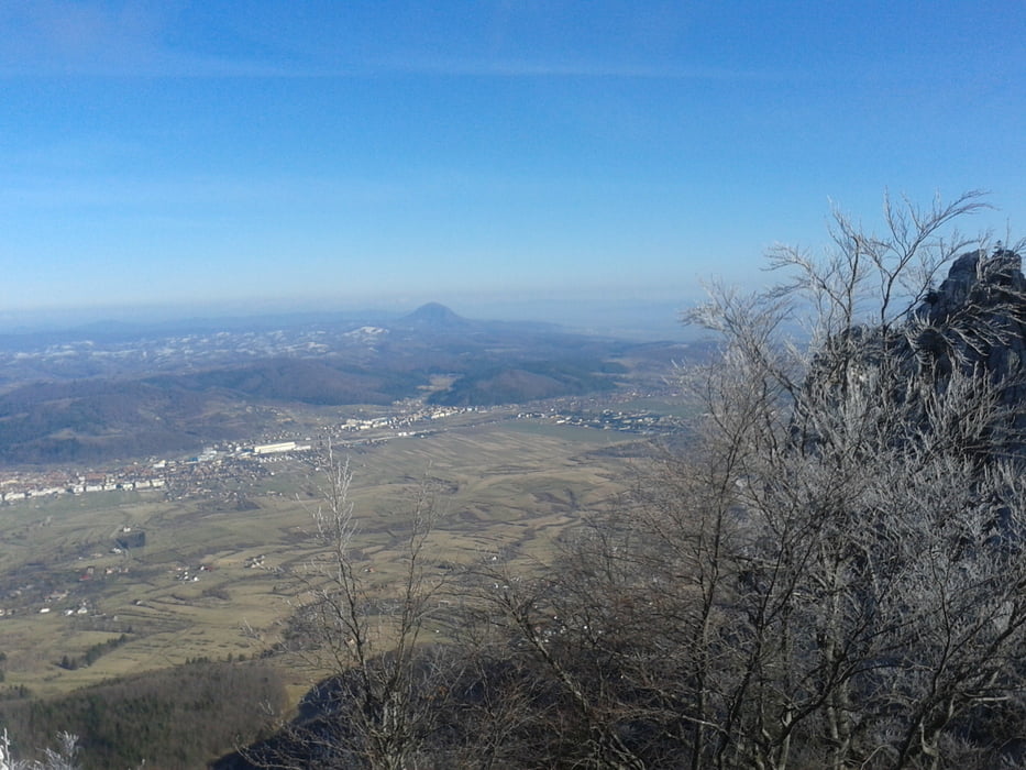
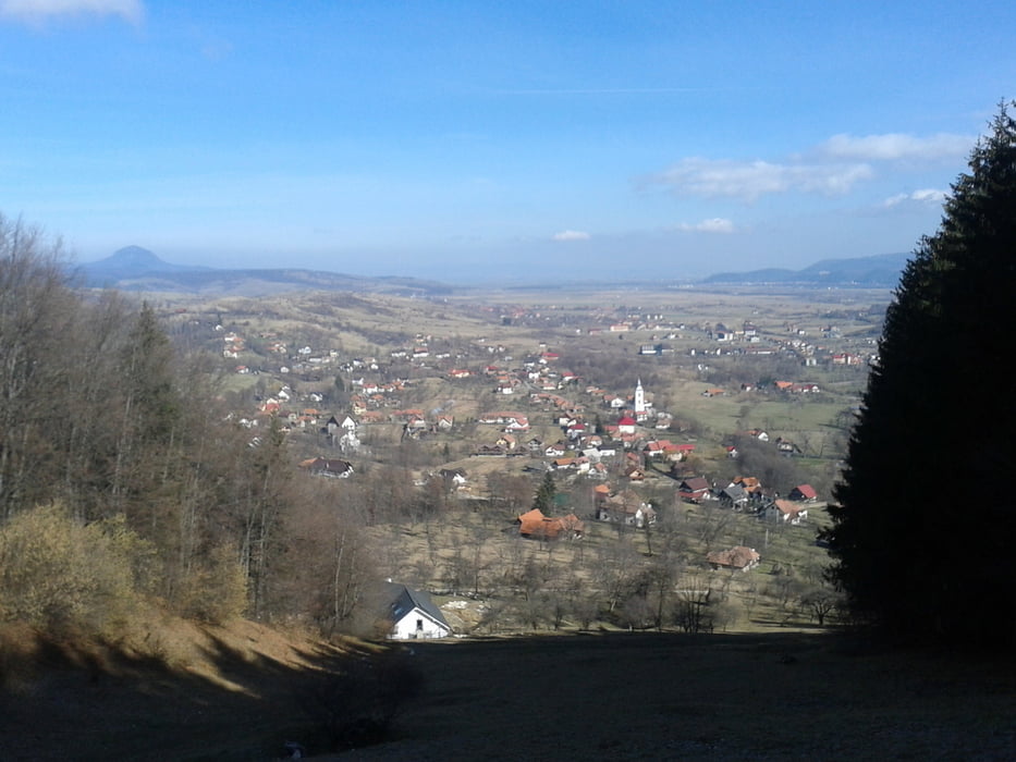
Von der Villa Hermani vorbei an der Dorfkirche, bei der 2. Rechtskehre geradeaus weiter der Markierung "blaues Dreieck" folgen bis zum nächsten Bauernhof. Vorher links den Hang hinauf und in einem weiten Rechtsbogen zu den Almhütten. Hier weiter östlich durch die Schneise hinauf auf den Magura Mica (roter Strich). Durch Wald und Lichtungen in östlicher Richtung auf dem Pfad weiter, bis von links ein breiter Almweg heraufführt. Auf diesem in einigen Kehren hinunter in das Dorf und auf der Straße ins Zentrum.

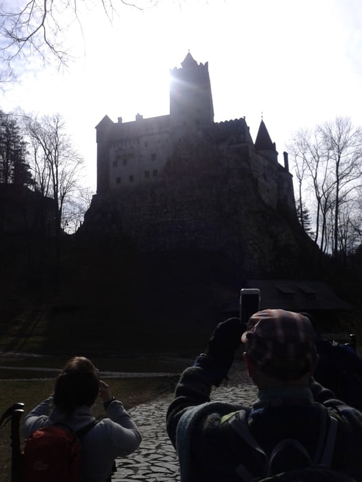
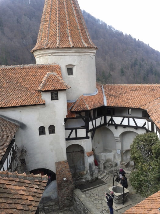
Sehr sehenswert: Schloss Bran!

Konditionsstarke können auf dem Hinweg wieder zurück oder mit dem Taxi.


Further information at

http://www.cntours.eu/villa_hermani.htm

Tour gallery

Tour map and elevation profile

  • Open Street Map
  • Google
Minimum height 731 m Maximum height 1355 m Detailed view

More about the tour author

JoHangler
Member since 2013

Send private message

Comments

Von Brasvov kommend, nach Zarnesti und den Wegweisern folgend hinauf in das Bergdorf Magura.


GPS tracks

Trackpoints
  • GPX / Garmin Map Source (gpx) download
  • TCX / Garmin Training Center® (tcx) download
  • CRS / Garmin Training Center® (crs) download
  • Google Earth (kml) download
  • G7ToWin (g7t) download
  • TTQV (trk) download
  • Overlay (ovl) download
  • Fugawi (txt) download
  • Kompass (DAV) Track (tk) download
  • Track data sheet (pdf) download
  • Original file of the author (gpx) download

More about the tour author

JoHangler
Member since 2013

Send private message
Share track
Add to my favorites
Remove from my favorites
Edit tags
My score
Rate
Track: Von Magura nach Bran
Type: Hiking
Distance: 9,6 km
Evaluated on:
Duration:
Day(s)
Hour(s)
Minute(s)
Score: Landscape Fun factor Fitness Technique