Login

Forgot your login?

Cookies have to be accepted!
Your browser's cookie functionality is disabled. Please enable this functionality.

Not a member yet?

Register now
Login

Available for registred users only

Log in to use this feature.

Forgot your login?

Cookies have to be accepted!
Your browser's cookie functionality is disabled. Please enable this functionality.

Not a member yet?

Register now
Filter
Categories
Advanced filters
  • Distance (km)
  • Height
Save filters Reset filter

TrackRank

QRCode

Technical data

Distance16,7 km Height439 m Way down431 m Duration04:45 h:m Date06.03.2016
Scores Author Landscape Fun factor Fitness Technique

Statistics

260 Views Scores 13 Downloads Average
Rate
  • Track data sheet
  • Directions
  • Downloads

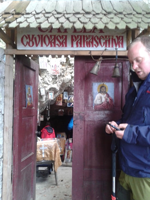
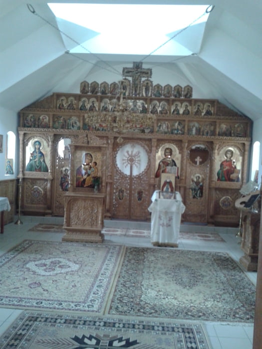
Vom futuristischen Gebäude des Nationalparkzentrums folgen wir einem Wiesenweg hinauf zum markierten Pfad, der uns ohne Höhenverlust zur Abzweigung zur Curmatura-Hütte bringt. Wir nehmen weiter die blaue Markierung und kommen zum Zufahrtsweg hinauf zum Kloster.

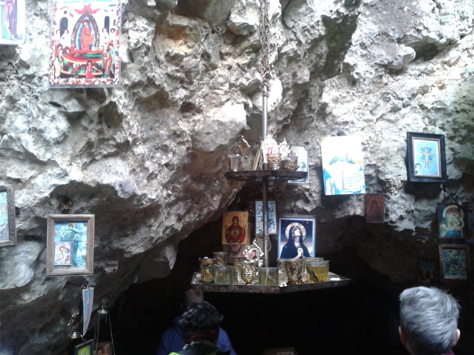
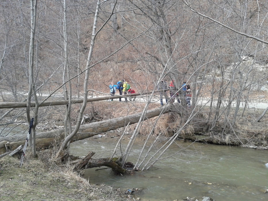
Etwas oberhalb ist die sehenswerte Grotte zu besichtigen. Wieder beim Kloster zurück, geht es den Hang aufwärts zum Rücken und dann hinunter zum Bach. Hier flussaufwärts, bis mittels eines Baumstammes dieser überquert werden kann. Ein kurzes Stück weiter wartet das Restaurant Popusul Craiului auf uns.

Der Rückweg erfolgt auf der Straße zum Ausgangspunkt.


Further information at

http://www.cntours.eu/villa_hermani.htm

Tour gallery

Tour map and elevation profile

  • Open Street Map
  • Google
Minimum height 721 m Maximum height 1094 m Detailed view

More about the tour author

JoHangler
Member since 2013

Send private message

Comments

In Zarnesti den Kreisverkehr in nordwestlicher Richtung der Straße 50A folgen.


GPS tracks

Trackpoints
  • GPX / Garmin Map Source (gpx) download
  • TCX / Garmin Training Center® (tcx) download
  • CRS / Garmin Training Center® (crs) download
  • Google Earth (kml) download
  • G7ToWin (g7t) download
  • TTQV (trk) download
  • Overlay (ovl) download
  • Fugawi (txt) download
  • Kompass (DAV) Track (tk) download
  • Track data sheet (pdf) download
  • Original file of the author (gpx) download

More about the tour author

JoHangler
Member since 2013

Send private message
Share track
Add to my favorites
Remove from my favorites
Edit tags
My score
Rate
Track: Zum Kloser Coltul Chiliilor
Type: Hiking
Distance: 16,7 km
Evaluated on:
Duration:
Day(s)
Hour(s)
Minute(s)
Score: Landscape Fun factor Fitness Technique