


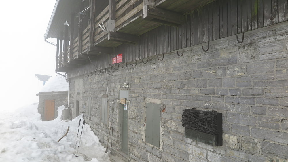
Da hadjuzna, parcheggiare poco prima del sottopasso ferroviario, da li subito le segnalazioni per la cima, sempre ben segnato. Passando dal rifugio si scende sino al sottostante bivio e si segue lungamente la xresta sud per semplice carrareccia sino al paesino di Zakojka. Da questo paesino non ci sono segnalazioni per ritornare a Hudajuzna, percio seguire fedelmente il mio percorso gps.
Tour gallery
Tour map and elevation profile
Minimum height 374 m
Maximum height 1631 m
More about the tour author
|
|
sioni |
Comments

Da Most na Soci seguire le indicazioni per Podbrdo. Su questa stretta strada si incontra il paese di Hudajuzna. Entrando in paese girare a dx al primo ponticello e parcheggiare.
GPS tracks
Trackpoints-
GPX / Garmin Map Source (gpx) download
-
TCX / Garmin Training Center® (tcx) download
-
CRS / Garmin Training Center® (crs) download
-
Google Earth (kml) download
-
G7ToWin (g7t) download
-
TTQV (trk) download
-
Overlay (ovl) download
-
Fugawi (txt) download
-
Kompass (DAV) Track (tk) download
-
Track data sheet (pdf) download
-
Original file of the author (gpx) download
More about the tour author
|
|
sioni |
Add to my favorites
Remove from my favorites
Edit tags
Open track
My score
Rate