Login

Forgotten password?

Cookies have to be accepted!
Your browser's cookie functionality is disabled. Please enable this functionality.

Not a member yet?

Register now
Login

Available for registred users only

Log in to use this feature.

Forgotten password?

Cookies have to be accepted!
Your browser's cookie functionality is disabled. Please enable this functionality.

Not a member yet?

Register now
Filter
Categories
Advanced filters
  • Distance (km)
  • Height
Save filters Reset filter

TrackRank

QRCode

Technical data

Distance11,9 km Height345 m Way down424 m Duration03:30 h:m Date31.03.2016
Scores Author Landscape Fun factor Fitness Technique

Statistics

123 Views Scores 2 Downloads Average
Rate
  • Track data sheet
  • Directions
  • Downloads
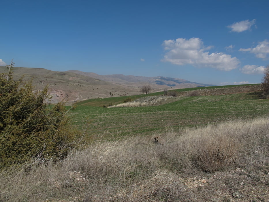
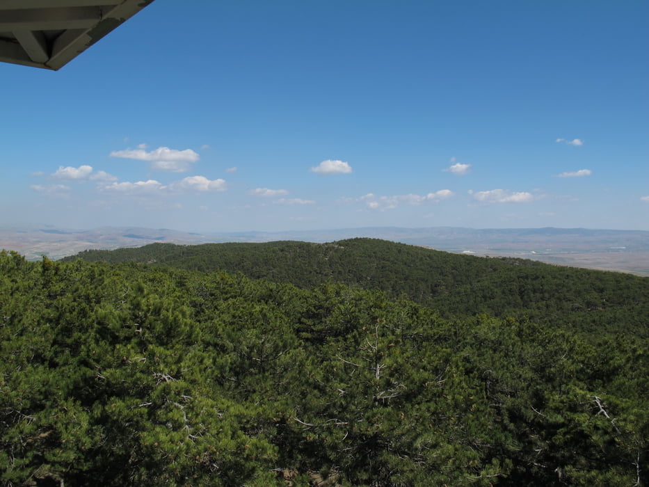
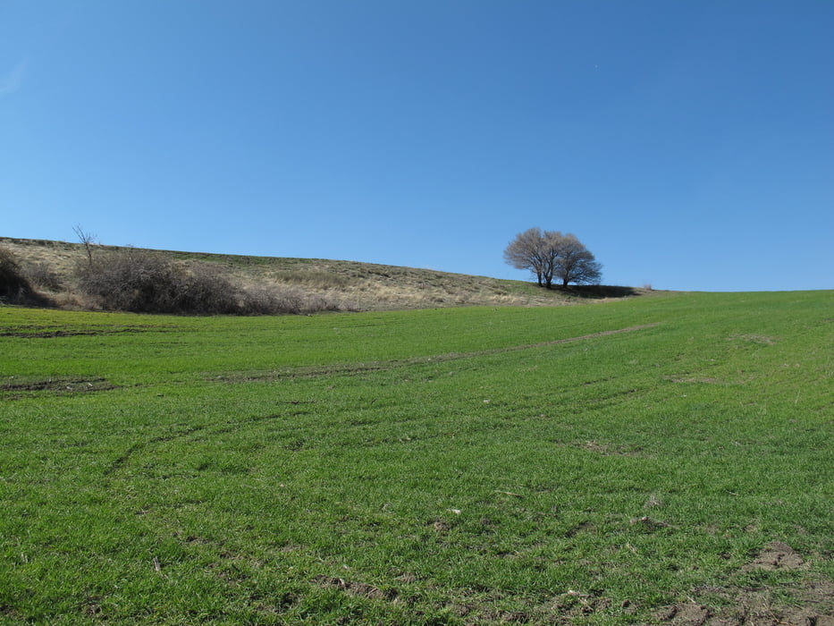
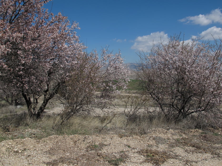
Die Wanderung beginnt auf einem Parkplatz direkt an der Straße. Etwa 45km südlich von Ankara. Dort ist auch eine Wasserquelle an der viele Leute Wasser holen. Über einen schmalen Bach geht es dann auf einem gut ausgebauten Weg immer stetig bergauf. Vorbei an einem alten Schrankenanlage bis zur höchsten Stelle. Dort steht ein Feuerturm. Von dort hat man einen schönen Blick in die Täler und Hügel. Der Park ist fast durchgängig bewaldet. Mehrere Picknick Plätze sind angelegt. Leider manchmal vermüllt. Abwärts entlang der Felder und einem idyllischen Bach zurück zum Parkplatz.

Tour gallery

Tour map and elevation profile

  • Open Street Map
  • Google
Minimum height 1176 m Maximum height 1506 m Detailed view

More about the tour author

Hastati
Member since 2015

Send private message

Comments

GPS tracks

Trackpoints
  • GPX / Garmin Map Source (gpx) download
  • TCX / Garmin Training Center® (tcx) download
  • CRS / Garmin Training Center® (crs) download
  • Google Earth (kml) download
  • G7ToWin (g7t) download
  • TTQV (trk) download
  • Overlay (ovl) download
  • Fugawi (txt) download
  • Kompass (DAV) Track (tk) download
  • Track data sheet (pdf) download
  • Original file of the author (gpx) download

More about the tour author

Hastati
Member since 2015

Send private message
Share track
Add to my favorites
Remove from my favorites
Edit tags
My score
Rate
Track: Beynam Nationalpark Rundweg
Type: Hiking
Distance: 11,9 km
Evaluated on:
Duration:
Day(s)
Hour(s)
Minute(s)
Score: Landscape Fun factor Fitness Technique