Login

Forgotten password?

Cookies have to be accepted!
Your browser's cookie functionality is disabled. Please enable this functionality.

Not a member yet?

Register now
Login

Available for registred users only

Log in to use this feature.

Forgotten password?

Cookies have to be accepted!
Your browser's cookie functionality is disabled. Please enable this functionality.

Not a member yet?

Register now
Filter
Categories
Advanced filters
  • Distance (km)
  • Height
Save filters Reset filter

TrackRank

QRCode

Technical data

Distance37,1 km Height834 m Way down818 m Duration02:30 h:m Date14.04.2016
Scores Author Landscape Fun factor Fitness Technique

Statistics

371 Views 1 Score 88 Downloads 4.00 Average
Rate
  • Track data sheet
  • Directions
  • Downloads
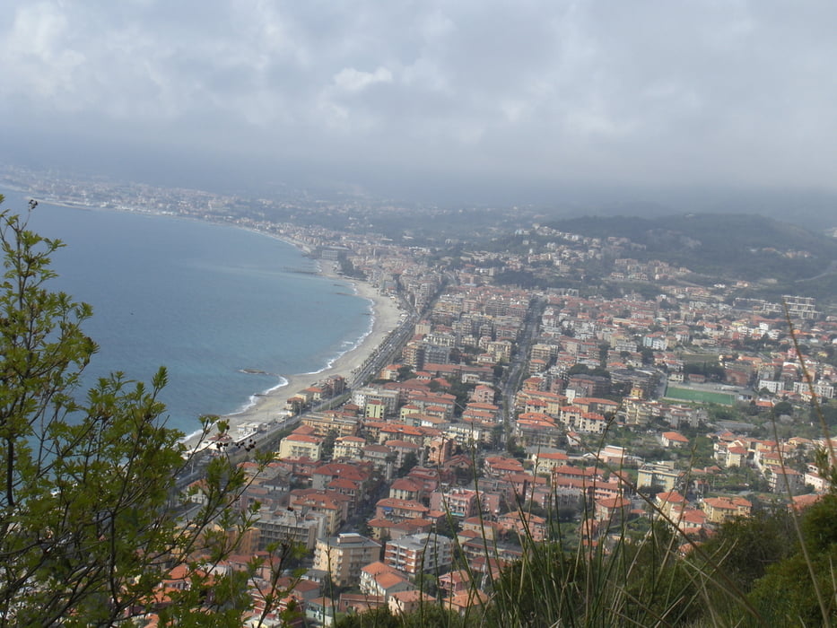
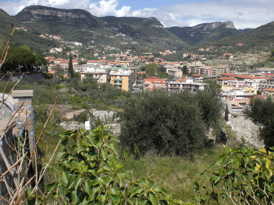
vom Camping Tahiti hinauf nach Gorra und weiter Richtung Melogno. Kurz  vor Canova links runter nach Magliolo. Von dort weiter nach Bardino Nuovo. Hier scharf rechts nach Crescia. Hier wieder scharf  rechts und dann scharf links, sehr steil bergab zum Fluss hinunter. Nun wünderschön am Flusslauf entlang nach Tavo San Giacomo. Von hier wieder hoch nach Bardino Vecchio. Wir kommen wieder an der Passstrassse nach Melogno raus. Hier rechts und vor Gorra links hinunter nach Calice Ligure. Von hier zurück zum Campingplatz

Tour gallery

Tour map and elevation profile

  • Open Street Map
  • Google
Minimum height -11 m Maximum height 526 m Detailed view

More about the tour author

Fruehaufsteher
Member since 2008

Send private message

Comments

MargesinFriedrich on 16.11.2022

a

Bin Deine schöne Tour heute nachgefahren. Super Panorama. Durch die Dörfer im Hinterland von Finale Ligure/Pietra Ligure. Vielen Dank.

GPS tracks

Trackpoints
  • GPX / Garmin Map Source (gpx) download
  • TCX / Garmin Training Center® (tcx) download
  • CRS / Garmin Training Center® (crs) download
  • Google Earth (kml) download
  • G7ToWin (g7t) download
  • TTQV (trk) download
  • Overlay (ovl) download
  • Fugawi (txt) download
  • Kompass (DAV) Track (tk) download
  • Track data sheet (pdf) download
  • Original file of the author (gpx) download

More about the tour author

Fruehaufsteher
Member since 2008

Send private message
Share track
Add to my favorites
Remove from my favorites
Edit tags
My score
Rate
Track: Finale Ligure -Sightseeing
Type: Trekkingbike
Distance: 37,1 km
Evaluated on:
Duration:
Day(s)
Hour(s)
Minute(s)
Score: Landscape Fun factor Fitness Technique