Login

Forgot your login?

Cookies have to be accepted!
Your browser's cookie functionality is disabled. Please enable this functionality.

Not a member yet?

Register now
Login

Available for registred users only

Log in to use this feature.

Forgot your login?

Cookies have to be accepted!
Your browser's cookie functionality is disabled. Please enable this functionality.

Not a member yet?

Register now
Filter
Categories
Advanced filters
  • Distance (km)
  • Height
Save filters Reset filter

TrackRank

QRCode

Technical data

Distance17,9 km Height315 m Way down319 m Duration01:36 h:m Date17.04.2016
Scores Author Landscape Fun factor Fitness Technique

Statistics

1332 Views Scores 125 Downloads Average
Rate
  • Track data sheet
  • Directions
  • Downloads

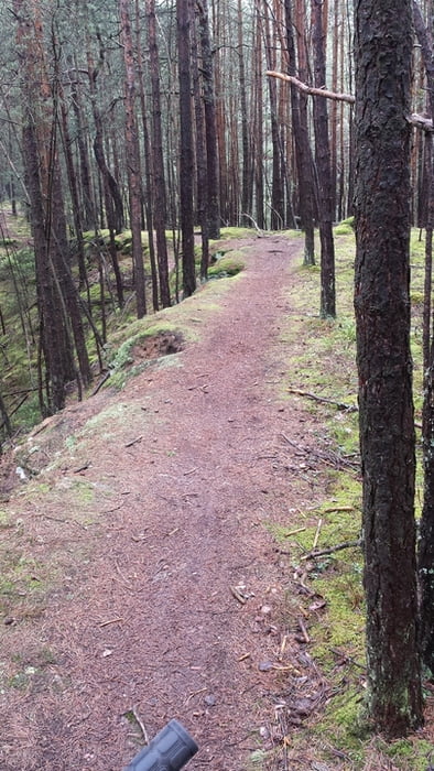
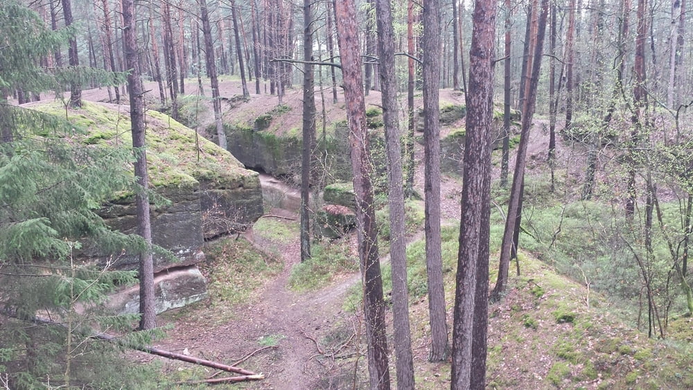
kurze, knackige Trailrunde am Heidenberg. Die Tour beeinhaltet einige der schönsten Trails am Heidenberg. Macht auch bei Matschwetter richtig Laune. Allerdings setzen dann nasse Wurzeln einiges an Fahrtechnik voraus.

Die Tour dürfte hauptsächlich im Bereich S0 bis S1 liegen, wenige Stellen bergauf evtl. S2 Niveau. Man sollte zumindest kein Anfänger sein, sonst hat zu viele Schiebepassagen.

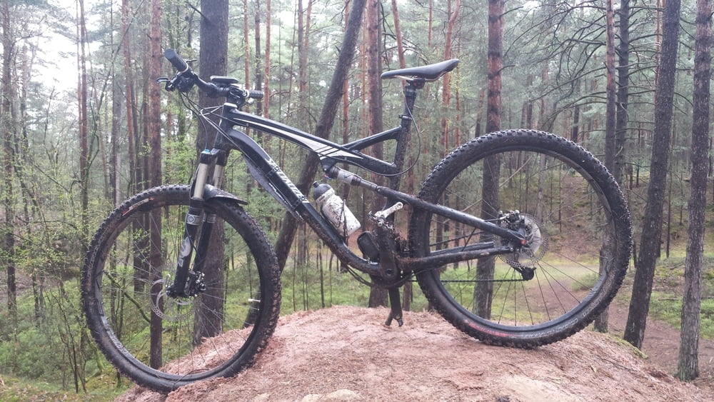
Macht LAUNE, viel Spaß!


Further information at

https://www.google.de/maps/place/Staatliche+Realschule+Schwabach/@49.3263527,11.0084939,17z/data=!3m1!4b1!4m2!3m1!1s0x479f4e2afbf155f3:0x723ad924327ec035?hl=de

Tour gallery

Tour map and elevation profile

  • Open Street Map
  • Google
Minimum height 333 m Maximum height 433 m Detailed view

More about the tour author

sundancer
Member since 2010

Send private message

Comments

wie immer bei meinen Touren Parken am besten an der Realschlule in der Waikersreuther Staße


GPS tracks

Trackpoints
  • GPX / Garmin Map Source (gpx) download
  • TCX / Garmin Training Center® (tcx) download
  • CRS / Garmin Training Center® (crs) download
  • Google Earth (kml) download
  • G7ToWin (g7t) download
  • TTQV (trk) download
  • Overlay (ovl) download
  • Fugawi (txt) download
  • Kompass (DAV) Track (tk) download
  • Track data sheet (pdf) download
  • Original file of the author (gpx) download

More about the tour author

sundancer
Member since 2010

Send private message
Share track
Add to my favorites
Remove from my favorites
Edit tags
My score
Rate
Track: Heidenberg Trails
Type: Mountain bike
Distance: 17,9 km
Evaluated on:
Duration:
Day(s)
Hour(s)
Minute(s)
Score: Landscape Fun factor Fitness Technique