Login

Forgot your login?

Cookies have to be accepted!
Your browser's cookie functionality is disabled. Please enable this functionality.

Not a member yet?

Register now
Login

Available for registred users only

Log in to use this feature.

Forgot your login?

Cookies have to be accepted!
Your browser's cookie functionality is disabled. Please enable this functionality.

Not a member yet?

Register now
Filter
Categories
Advanced filters
  • Distance (km)
  • Height
Save filters Reset filter

TrackRank

QRCode

Technical data

Distance6,0 km Height365 m Way down330 m Duration01:45 h:m Date17.07.2016
Scores Author Landscape Fun factor Fitness Technique

Statistics

318 Views Scores 30 Downloads Average
Rate
  • Track data sheet
  • Directions
  • Downloads
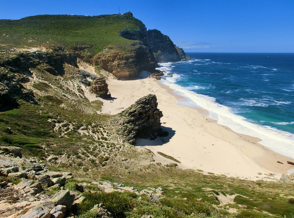
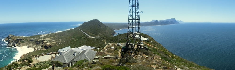
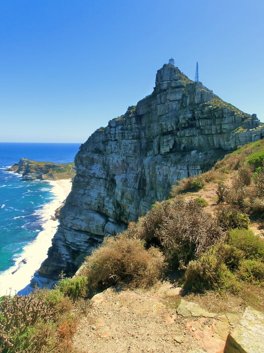
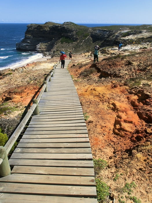
Gemütlicher scenic walk zwischen Cape of good hope und Cape point mit Wetterstation und Leuchttürmen. Restaurants und Shops am Cape point. Dort ist dann auch sehr viel los. Das Cape of good hope selbst ist dermaßen unscheinbar, dass es nicht wirklich eines Fotos würdig ist. Auf der Zufahrtsstraße zum Park muss man Eintritt zahlen. Der Park schließt ca. 18 oder 19 Uhr. Have fun! :-)

Tour gallery

Tour map and elevation profile

  • Open Street Map
  • Google
Minimum height -31 m Maximum height 245 m Detailed view

More about the tour author

mackator
Member since 2012

Send private message

Comments

Parkplatz am Kap der Guten Hoffnung.


GPS tracks

Trackpoints
  • GPX / Garmin Map Source (gpx) download
  • TCX / Garmin Training Center® (tcx) download
  • CRS / Garmin Training Center® (crs) download
  • Google Earth (kml) download
  • G7ToWin (g7t) download
  • TTQV (trk) download
  • Overlay (ovl) download
  • Fugawi (txt) download
  • Kompass (DAV) Track (tk) download
  • Track data sheet (pdf) download
  • Original file of the author (gpx) download

More about the tour author

mackator
Member since 2012

Send private message
Share track
Add to my favorites
Remove from my favorites
Edit tags
My score
Rate
Track: Cape of good hope und Cape point
Type: Hiking
Distance: 6,0 km
Evaluated on:
Duration:
Day(s)
Hour(s)
Minute(s)
Score: Landscape Fun factor Fitness Technique