Login

Forgot your login?

Cookies have to be accepted!
Your browser's cookie functionality is disabled. Please enable this functionality.

Not a member yet?

Register now
Login

Available for registred users only

Log in to use this feature.

Forgot your login?

Cookies have to be accepted!
Your browser's cookie functionality is disabled. Please enable this functionality.

Not a member yet?

Register now
Filter
Categories
Advanced filters
  • Distance (km)
  • Height
Save filters Reset filter

TrackRank

QRCode

Technical data

Distance14,0 km Height1323 m Way down1327 m Duration00:00 h:m Date19.07.2016
Scores Author Landscape Fun factor Fitness Technique

Statistics

735 Views Scores 88 Downloads Average
Rate
  • Track data sheet
  • Directions
  • Downloads
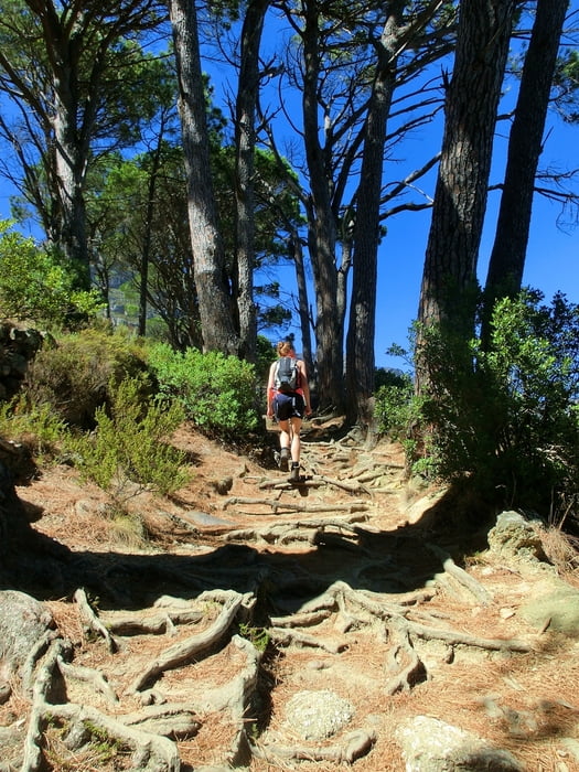
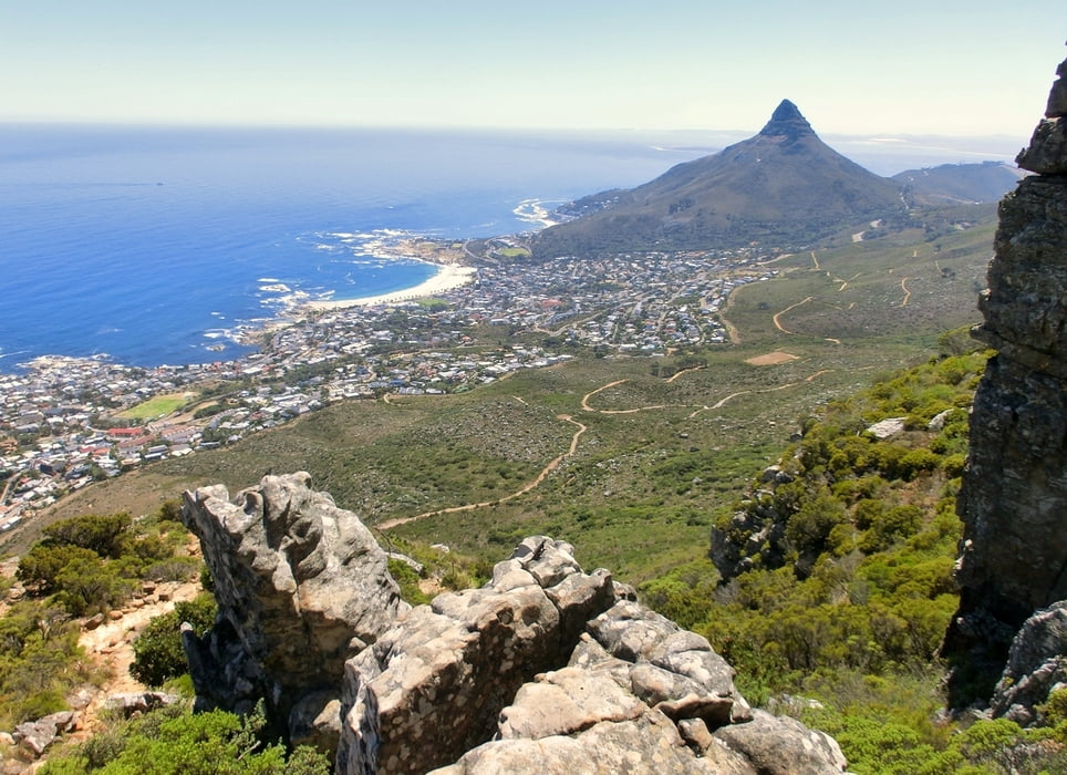
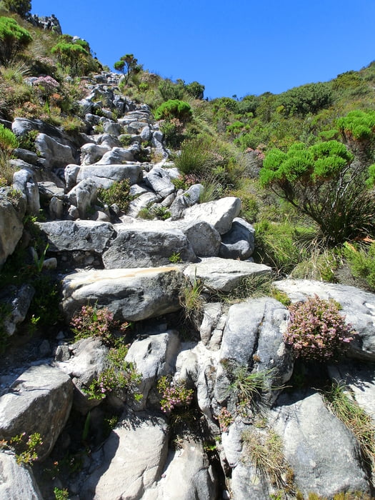
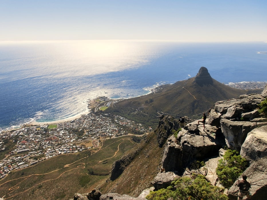
Aufstieg zum Tafelberg an dessen Westflanke, ausgehend vom Parkplatz am Kloof Nek. Grandiose Aussichten auf Camps Bay, Lion's head und Kapstadt. Hohe Felsstufen im Anstieg zum Plateau zu bewältigen. An der Westflanke und lange Zeit auf dem hinteren Teil des Plateaus waren wir die einzigen Menschenseelen - auch mal schön! Die Seilbahn des Table Mountain hat eine Facebook Seite, auf der man mehrmals am Tag Auskünfte über das sich schnell ändernde Wetter erhält und erfährt, ob die Seilbahn noch geöffnet hat.

Tour gallery

Tour map and elevation profile

  • Open Street Map
  • Google
Minimum height 237 m Maximum height 1579 m Detailed view

More about the tour author

mackator
Member since 2012

Send private message

Comments

Parkplatz am Kloof Nek


GPS tracks

Trackpoints
  • GPX / Garmin Map Source (gpx) download
  • TCX / Garmin Training Center® (tcx) download
  • CRS / Garmin Training Center® (crs) download
  • Google Earth (kml) download
  • G7ToWin (g7t) download
  • TTQV (trk) download
  • Overlay (ovl) download
  • Fugawi (txt) download
  • Kompass (DAV) Track (tk) download
  • Track data sheet (pdf) download
  • Original file of the author (gpx) download

More about the tour author

mackator
Member since 2012

Send private message
Share track
Add to my favorites
Remove from my favorites
Edit tags
My score
Rate
Track: Tafelberg - Kasteelpoort Route
Type: Hiking
Distance: 14,0 km
Evaluated on:
Duration:
Day(s)
Hour(s)
Minute(s)
Score: Landscape Fun factor Fitness Technique