Login

Forgot your login?

Cookies have to be accepted!
Your browser's cookie functionality is disabled. Please enable this functionality.

Not a member yet?

Register now
Login

Available for registred users only

Log in to use this feature.

Forgot your login?

Cookies have to be accepted!
Your browser's cookie functionality is disabled. Please enable this functionality.

Not a member yet?

Register now
Filter
Categories
Advanced filters
  • Distance (km)
  • Height
Save filters Reset filter

TrackRank

QRCode

Technical data

Distance7,4 km Height225 m Way down229 m Duration04:22 h:m Date21.08.2016
Scores Author Landscape Fun factor Fitness Technique

Statistics

476 Views 1 Score 63 Downloads 4.00 Average
Rate
  • Track data sheet
  • Directions
  • Downloads

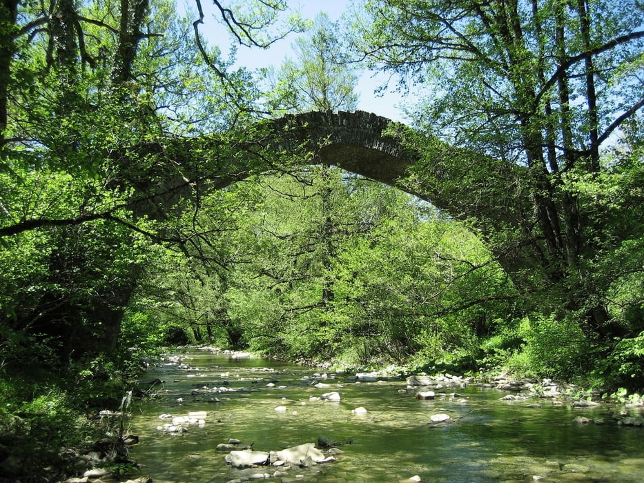
We start on the main place in Kipi, go to east to the bridge "Milos", and from there south to the bridge "Myrisi". Easy to go till there.

After "Myrisi" the path goes up the hill. It is marked with red color, but very old, not good to see. Use the GPS track to find the way.

At crossing1, go right, down the hill. Nice views to Kipi. From now on, the path is good to see again.

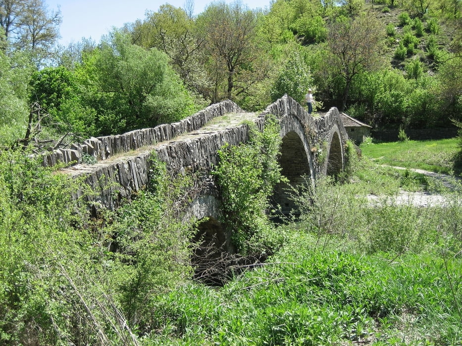
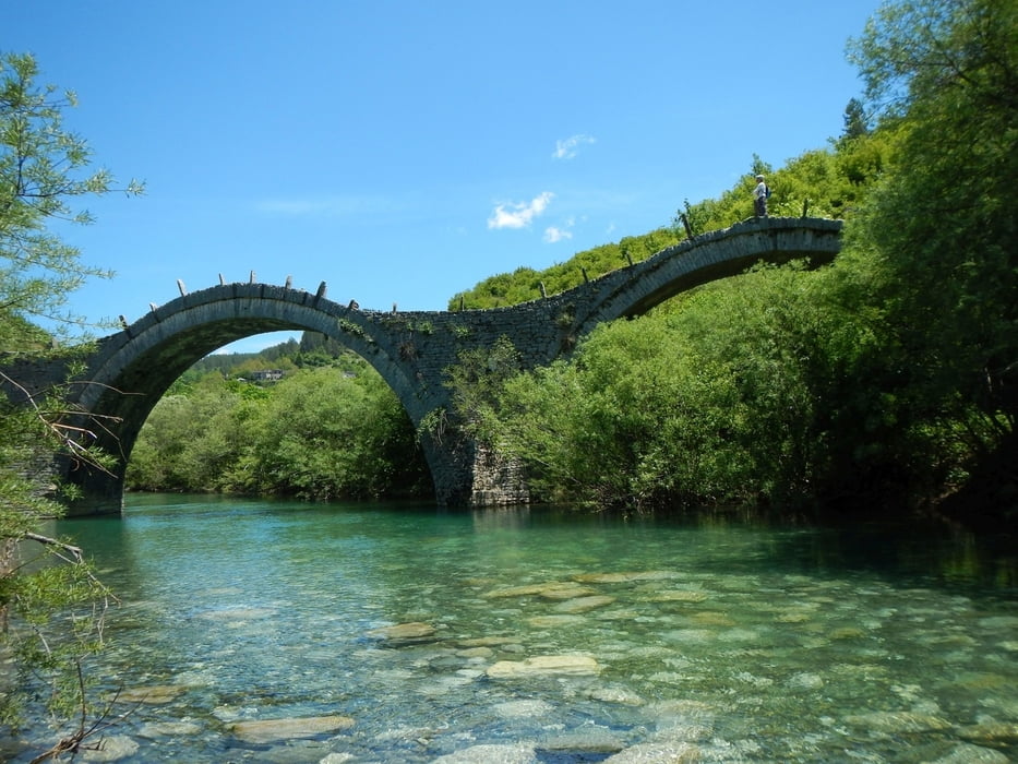
At crossing2 we go left, via crossing3 to the bridge "Plakida - Kalogeriko". There we have a break.

Back via the bridge, crossing3 to crossing2, passing a small river (we remove the shoes) back to "Milos".

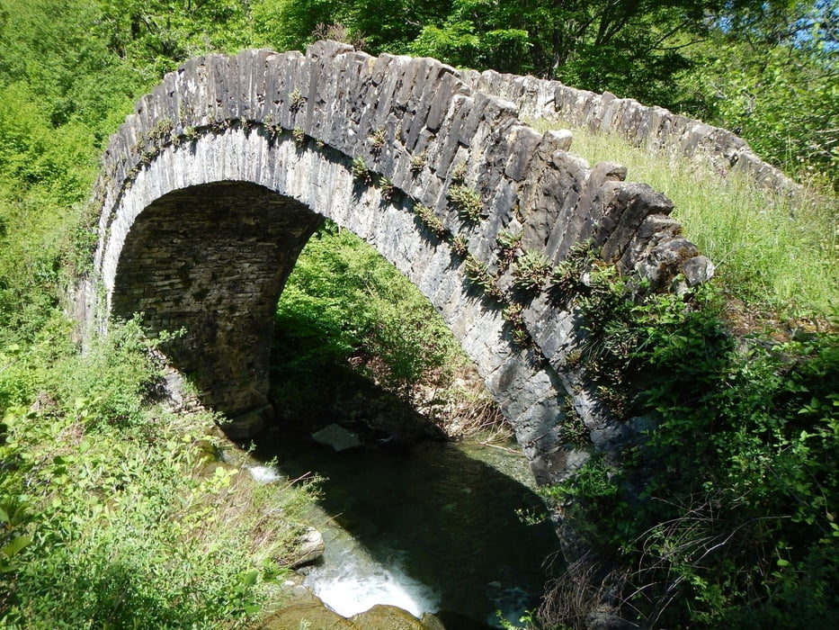
From there on a unpaved road to the bridge "Petsioni". On the paved road back to Kipi.

Tour gallery

Tour map and elevation profile

  • Open Street Map
  • Google
Minimum height 714 m Maximum height 898 m Detailed view

More about the tour author

Mapdekode
Member since 2008

Send private message

Comments

With the car to Kipi, or with the bus from ioannina to Kipi.

GPS tracks

Trackpoints
  • GPX / Garmin Map Source (gpx) download
  • TCX / Garmin Training Center® (tcx) download
  • CRS / Garmin Training Center® (crs) download
  • Google Earth (kml) download
  • G7ToWin (g7t) download
  • TTQV (trk) download
  • Overlay (ovl) download
  • Fugawi (txt) download
  • Kompass (DAV) Track (tk) download
  • Track data sheet (pdf) download
  • Original file of the author (gpx) download

More about the tour author

Mapdekode
Member since 2008

Send private message
Share track
Add to my favorites
Remove from my favorites
Edit tags
My score
Rate
Track: Greece, Zagori: Kipi, 4 bridges
Type: Hiking
Distance: 7,4 km
Evaluated on:
Duration:
Day(s)
Hour(s)
Minute(s)
Score: Landscape Fun factor Fitness Technique