Login

Forgotten password?

Cookies have to be accepted!
Your browser's cookie functionality is disabled. Please enable this functionality.

Not a member yet?

Register now
Login

Available for registred users only

Log in to use this feature.

Forgotten password?

Cookies have to be accepted!
Your browser's cookie functionality is disabled. Please enable this functionality.

Not a member yet?

Register now
Filter
Categories
Advanced filters
  • Distance (km)
  • Height
Save filters Reset filter

TrackRank

QRCode

Technical data

Distance26,0 km Height2652 m Way down1946 m Duration09:00 h:m Date28.08.2016
Scores Author Landscape Fun factor Fitness Technique

Statistics

569 Views Scores 15 Downloads Average
Rate
  • Track data sheet
  • Directions
  • Downloads
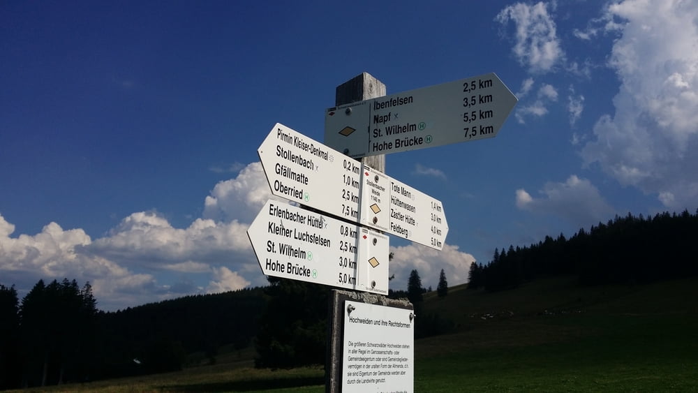
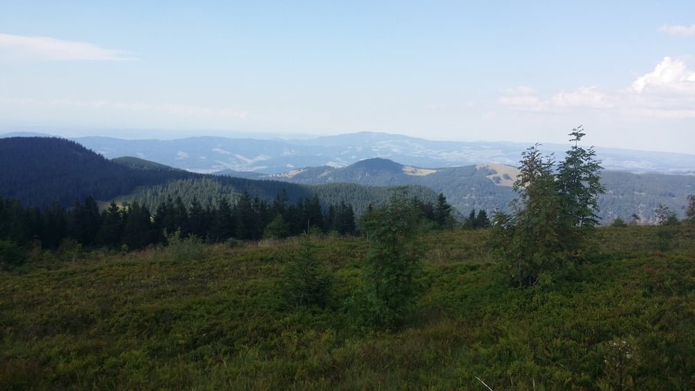
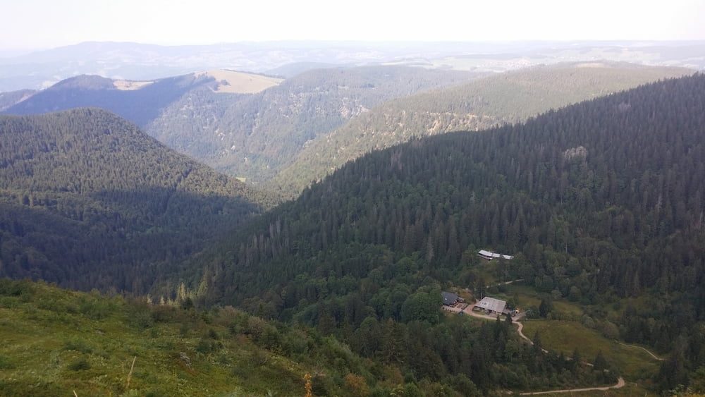
Wir parken in Oberried, gehen bis zu Stollenbacher Hütte. Pause. Weiter Feldberg auf. Von dort machen wir einer Runde: bis zu Berggasthoff Stübenwasen, weiter bis zu Elenbacher Hütte. Dann runte mit 2-er Auto nach Oberried.

Further information at

http://www.gpsies.com/map.do?fileId=vvgrvegrtznqydeb

Tour gallery

Tour map and elevation profile

  • Open Street Map
  • Google
Minimum height 187 m Maximum height 3911 m Detailed view

More about the tour author

copyright
Member since 2013

Send private message

Comments

https://goo.gl/maps/Ez2BT6gRcu42

GPS tracks

Trackpoints
  • GPX / Garmin Map Source (gpx) download
  • TCX / Garmin Training Center® (tcx) download
  • CRS / Garmin Training Center® (crs) download
  • Google Earth (kml) download
  • G7ToWin (g7t) download
  • TTQV (trk) download
  • Overlay (ovl) download
  • Fugawi (txt) download
  • Kompass (DAV) Track (tk) download
  • Track data sheet (pdf) download
  • Original file of the author (gpx) download

More about the tour author

copyright
Member since 2013

Send private message
Share track
Add to my favorites
Remove from my favorites
Edit tags
My score
Rate
Track: Oberried - Feldberg 27.08.2016 (26 km)
Type: Hiking
Distance: 26,0 km
Evaluated on:
Duration:
Day(s)
Hour(s)
Minute(s)
Score: Landscape Fun factor Fitness Technique