Login

Forgot your login?

Cookies have to be accepted!
Your browser's cookie functionality is disabled. Please enable this functionality.

Not a member yet?

Register now
Login

Available for registred users only

Log in to use this feature.

Forgot your login?

Cookies have to be accepted!
Your browser's cookie functionality is disabled. Please enable this functionality.

Not a member yet?

Register now
Filter
Categories
Advanced filters
  • Distance (km)
  • Height
Save filters Reset filter

TrackRank

QRCode

Technical data

Distance26,4 km Height394 m Way down399 m Duration00:00 h:m Date07.09.2016
Scores Author Landscape Fun factor Fitness Technique

Statistics

529 Views Scores 132 Downloads Average
Rate
  • Track data sheet
  • Directions
  • Downloads

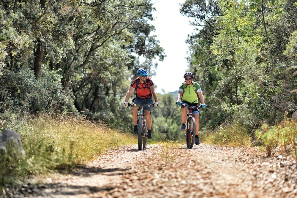
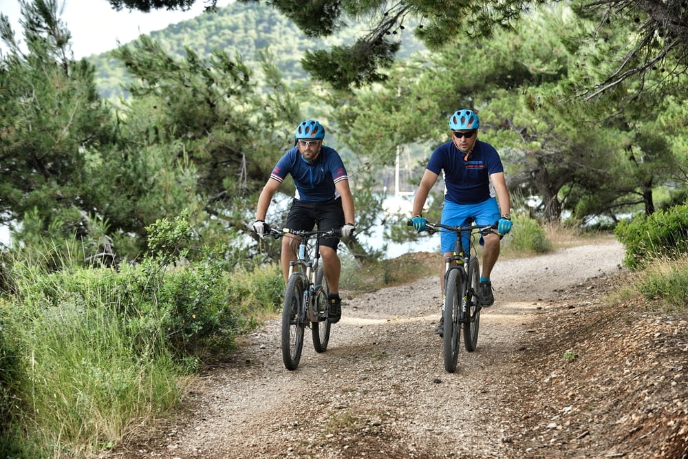
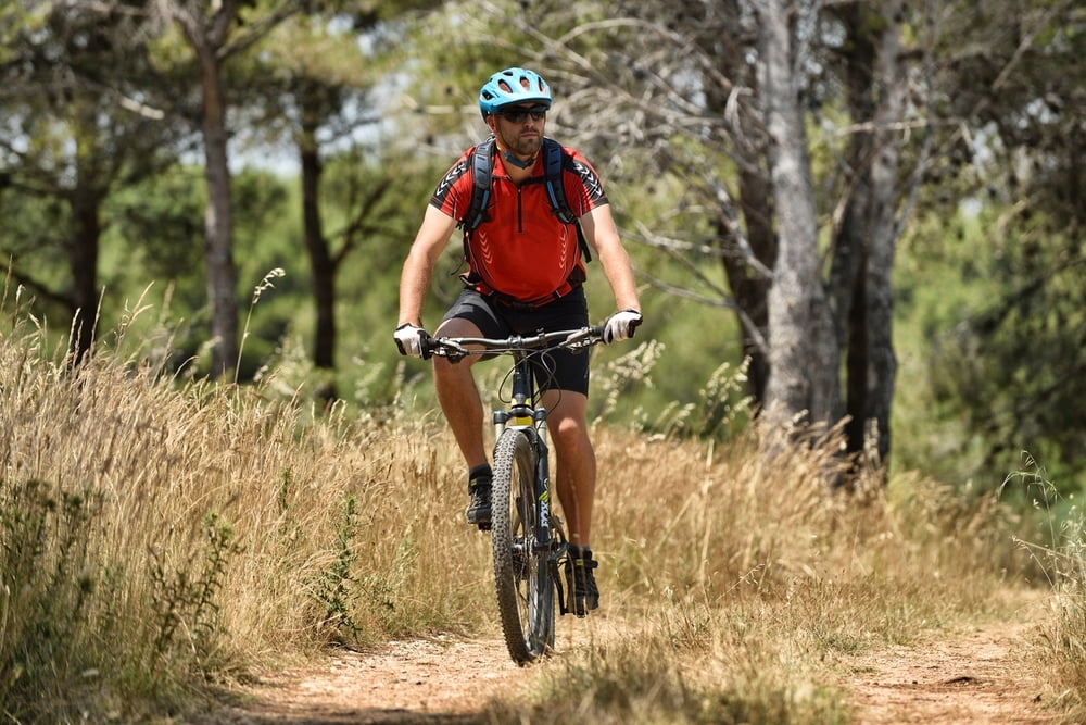
This trail includes the famous peninsula and natural oasis Kalifront. Throughout the ride you will enjoy the shade provided by forest, the sea views and in the possibility of encountering some of local wildlife animals.
Macadam roads prevail here, but there is also a short stone single-trail that beginner riders can walk across. Riding on this trail can provide recreation and escape to the nature, and for more experienced riders it is an excellent basis for a rapid training.


Staza obuhvaća poznati poluotok i prirodnu oazu Kalifront.
U vožnji ćete uživati u hladu kojeg pruža šuma, u pogledima na more i mogućnosti susreta s lokalnom divljači.
Na stazi prevladava makadam, ali postoji i kratki kameni singletrail kojeg vozači početnici mogu prehodati. Vožnja može poslužiti za rekreaciju i bijeg u prirodu, a iskusnijem vozaču i kao podloga za brzi trening.


Tour gallery

Tour map and elevation profile

  • Open Street Map
  • Google
Minimum height 3 m Maximum height 90 m Detailed view

More about the tour author

AdriaBikeHotels
Member since 2014

Send private message

Comments

GPS tracks

Trackpoints
  • GPX / Garmin Map Source (gpx) download
  • TCX / Garmin Training Center® (tcx) download
  • CRS / Garmin Training Center® (crs) download
  • Google Earth (kml) download
  • G7ToWin (g7t) download
  • TTQV (trk) download
  • Overlay (ovl) download
  • Fugawi (txt) download
  • Kompass (DAV) Track (tk) download
  • Track data sheet (pdf) download
  • Original file of the author (gpx) download

More about the tour author

AdriaBikeHotels
Member since 2014

Send private message
Share track
Add to my favorites
Remove from my favorites
Edit tags
My score
Rate
Track: MTB RAB 1
Type: Mountain hiking
Distance: 26,4 km
Evaluated on:
Duration:
Day(s)
Hour(s)
Minute(s)
Score: Landscape Fun factor Fitness Technique