
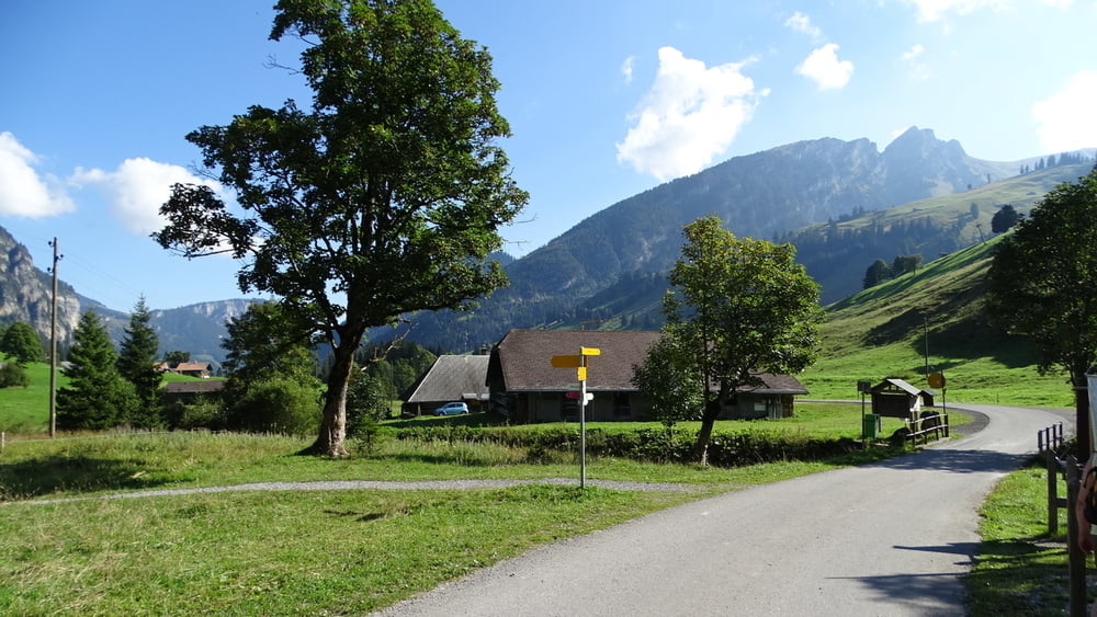

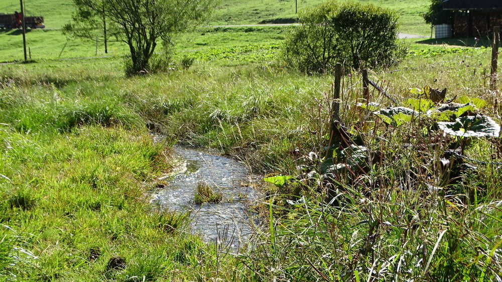
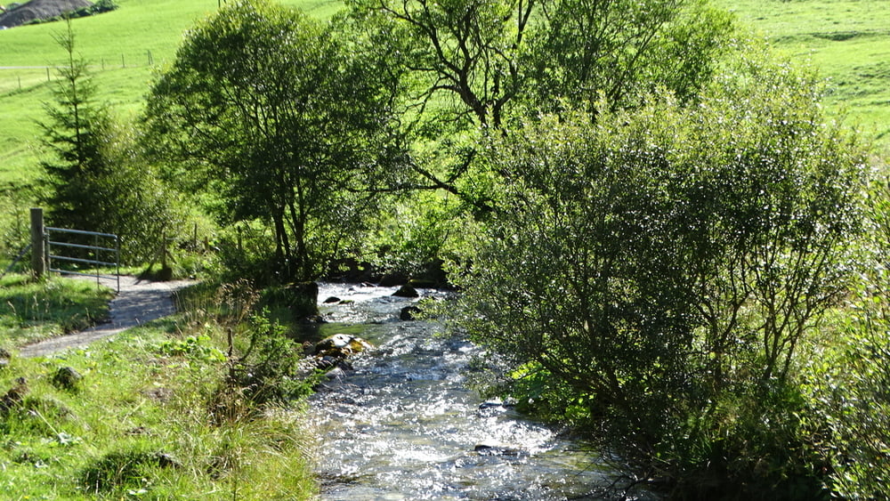
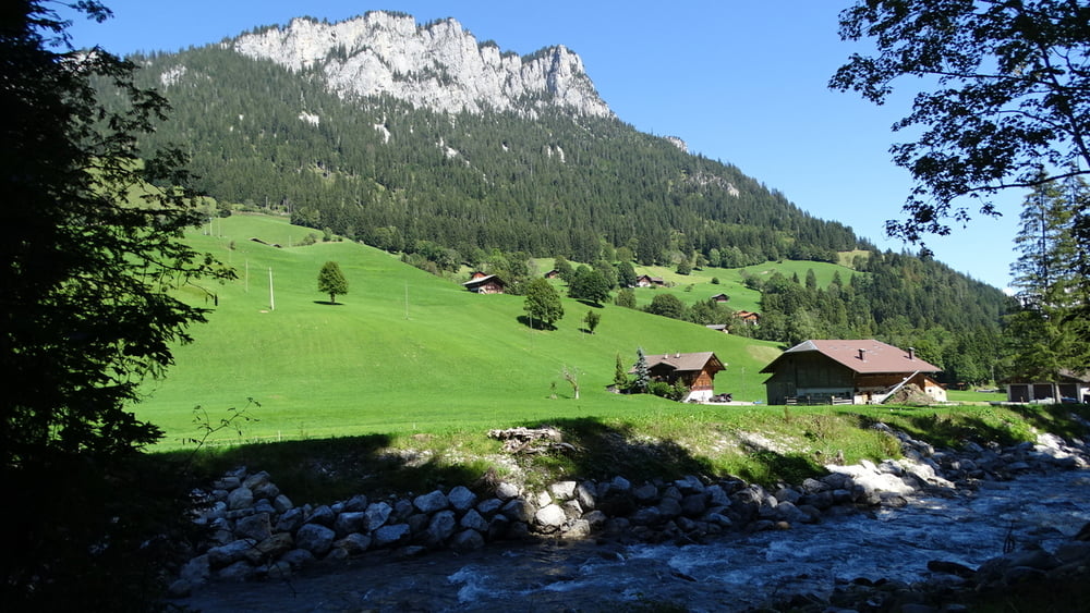
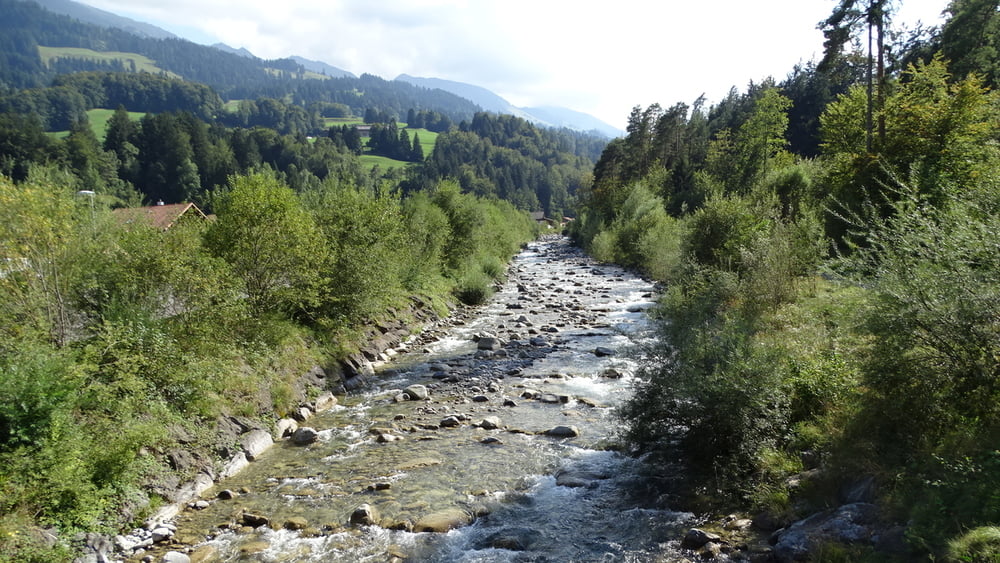
Wir stellen den Wagen in Oey am Hotel Hirschen (Bushaltestelle) auf einen freien Parkplatz ab. Am Bahnhof besteht dazu keine Chance. Von hier fahren wir mit dem Bus auf die Grimmelalb und laufen den Weg talabwärts zurück. Die Fildrich erleben wir von einem kleinen Bach bis zu einem breiten ausgebauten Flußlauf. Der Wanderweg führt am Schluß über den Parkplatz in Oey wo unser Fahrzeug abgestellt wurde.
Tour gallery
Tour map and elevation profile
Minimum height 674 m
Maximum height 1241 m
More about the tour author

|
civap |
Comments

Am Ende der A6 gehts auf die Landstraße 11. Richtung Grimmelalp kommen wir in Oey an dem Hotel Hirschen vorbei.
GPS tracks
Trackpoints-
GPX / Garmin Map Source (gpx) download
-
TCX / Garmin Training Center® (tcx) download
-
CRS / Garmin Training Center® (crs) download
-
Google Earth (kml) download
-
G7ToWin (g7t) download
-
TTQV (trk) download
-
Overlay (ovl) download
-
Fugawi (txt) download
-
Kompass (DAV) Track (tk) download
-
Track data sheet (pdf) download
-
Original file of the author (gpx) download
More about the tour author
|
|
civap |
Add to my favorites
Remove from my favorites
Edit tags
Open track
My score
Rate