Login

Forgot your login?

Cookies have to be accepted!
Your browser's cookie functionality is disabled. Please enable this functionality.

Not a member yet?

Register now
Login

Available for registred users only

Log in to use this feature.

Forgot your login?

Cookies have to be accepted!
Your browser's cookie functionality is disabled. Please enable this functionality.

Not a member yet?

Register now
Filter
Categories
Advanced filters
  • Distance (km)
  • Height
Save filters Reset filter

TrackRank

QRCode

Technical data

Distance65,6 km Height1934 m Way down1916 m Duration00:00 h:m Date05.10.2016
Scores Author Landscape Fun factor Fitness Technique

Statistics

313 Views Scores 65 Downloads Average
Rate
  • Track data sheet
  • Directions
  • Downloads

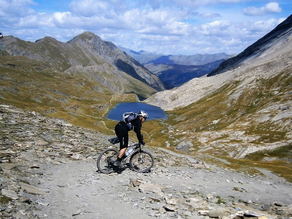
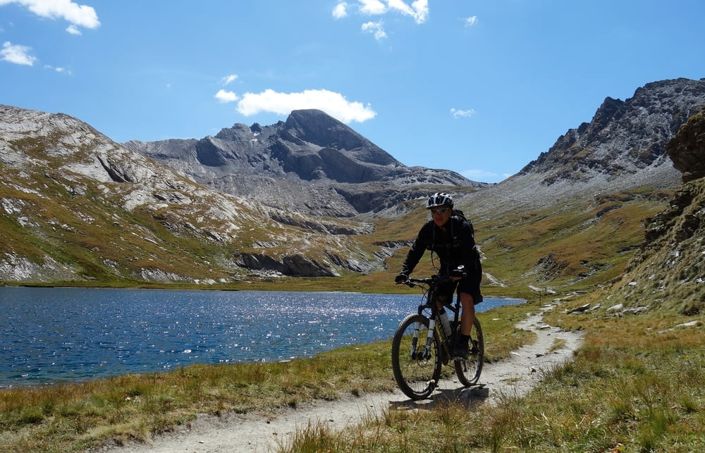
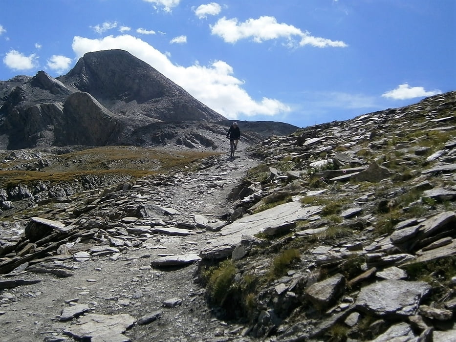
Zuerst auf Teer hoch zum Angel, dann etwas schieben und über ein paar Traumtrails hinab zu den Seen. Wer will kann noch Richtung Mon Viso fahren bis zum Ende des Almweges (oder sich diese HM sparen). Schlicht mal wieder eine perfekte Westalpentour.


Tour gallery

Tour map and elevation profile

  • Open Street Map
  • Google
Minimum height 1504 m Maximum height 2810 m Detailed view

More about the tour author

haaaatz
Member since 2011

Send private message

Comments

GPS tracks

Trackpoints
  • GPX / Garmin Map Source (gpx) download
  • TCX / Garmin Training Center® (tcx) download
  • CRS / Garmin Training Center® (crs) download
  • Google Earth (kml) download
  • G7ToWin (g7t) download
  • TTQV (trk) download
  • Overlay (ovl) download
  • Fugawi (txt) download
  • Kompass (DAV) Track (tk) download
  • Track data sheet (pdf) download
  • Original file of the author (gpx) download

More about the tour author

haaaatz
Member since 2011

Send private message
Share track
Add to my favorites
Remove from my favorites
Edit tags
My score
Rate
Track: Traumtour zum Col Angel am Mon Viso
Type: Mountain bike
Distance: 65,6 km
Evaluated on:
Duration:
Day(s)
Hour(s)
Minute(s)
Score: Landscape Fun factor Fitness Technique