Login

Forgot your login?

Cookies have to be accepted!
Your browser's cookie functionality is disabled. Please enable this functionality.

Not a member yet?

Register now
Login

Available for registred users only

Log in to use this feature.

Forgot your login?

Cookies have to be accepted!
Your browser's cookie functionality is disabled. Please enable this functionality.

Not a member yet?

Register now
Filter
Categories
Advanced filters
  • Distance (km)
  • Height
Save filters Reset filter

TrackRank

QRCode

Technical data

Distance10,8 km Height176 m Way down71 m Duration00:00 h:m Date03.11.2016
Scores Author Landscape Fun factor Fitness Technique

Statistics

255 Views Scores 4 Downloads Average
Rate
  • Track data sheet
  • Directions
  • Downloads
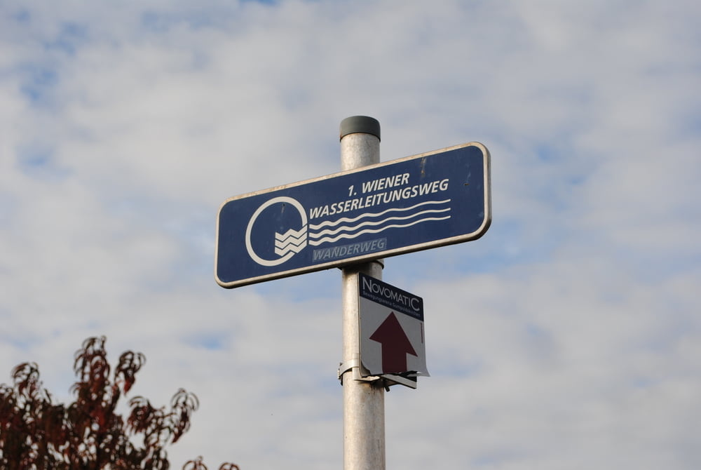
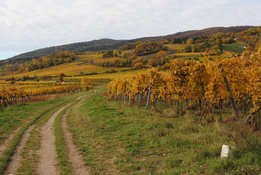
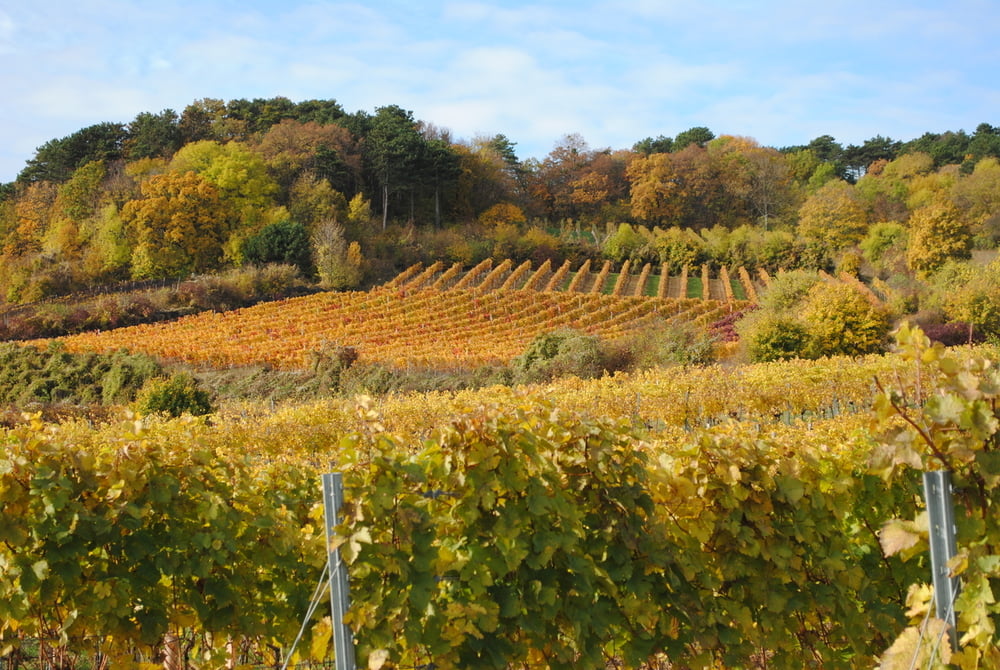
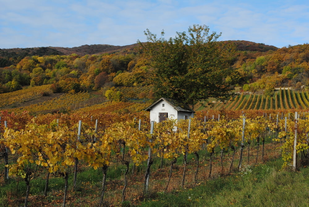
Start Gumpoldskirchen.Auf gutbeschilderten Weg fast immer eben durch herrlich farbene Weingärten nach Pfaffstätten.Zurück gleiche Strecke oder wie ich nach Gumpoldskirchen mit ÖBB.

Tour gallery

Tour map and elevation profile

  • Open Street Map
  • Google
Minimum height 171 m Maximum height 278 m Detailed view

More about the tour author

LeoCheops
Member since 2008

Send private message

Comments

GPS tracks

Trackpoints
  • GPX / Garmin Map Source (gpx) download
  • TCX / Garmin Training Center® (tcx) download
  • CRS / Garmin Training Center® (crs) download
  • Google Earth (kml) download
  • G7ToWin (g7t) download
  • TTQV (trk) download
  • Overlay (ovl) download
  • Fugawi (txt) download
  • Kompass (DAV) Track (tk) download
  • Track data sheet (pdf) download
  • Original file of the author (gpx) download

More about the tour author

LeoCheops
Member since 2008

Send private message
Share track
Add to my favorites
Remove from my favorites
Edit tags
My score
Rate
Track: Von Gumpoldskirchen nach Pfaffstädten auf den Wasserleitungsweg (01.11.2016)
Type: Hiking
Distance: 10,8 km
Evaluated on:
Duration:
Day(s)
Hour(s)
Minute(s)
Score: Landscape Fun factor Fitness Technique