Login

Forgot your login?

Cookies have to be accepted!
Your browser's cookie functionality is disabled. Please enable this functionality.

Not a member yet?

Register now
Login

Available for registred users only

Log in to use this feature.

Forgot your login?

Cookies have to be accepted!
Your browser's cookie functionality is disabled. Please enable this functionality.

Not a member yet?

Register now
Filter
Categories
Advanced filters
  • Distance (km)
  • Height
Save filters Reset filter

TrackRank

QRCode

Technical data

Distance26,6 km Height250 m Way down244 m Duration01:30 h:m Date08.01.2017
Scores Author Landscape Fun factor Fitness Technique

Statistics

415 Views Scores 2 Downloads Average
Rate
  • Track data sheet
  • Directions
  • Downloads

Ich radelte am Morgen von Homburg Schwarzenbach nach Kirkel Neuhäusel.
Am Abend fuhr ich wieder am Wasserfelsen vorbei zum Waldklassenzimmer. Als Abfahrt in das Kirkeler Tal wählte ich diesmal den besser ausgebauten Forstweg. Anschließend fuhr ich über Lautzkirchen in das Blistal und dort zurück zum Ausgangspunkt.


Further information at

https://de.wikipedia.org/wiki/Bliesgau

Tour gallery

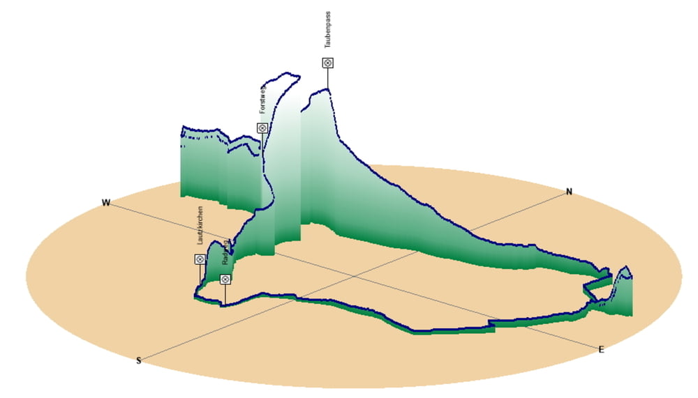
Tour map and elevation profile

  • Open Street Map
  • Google
Minimum height 226 m Maximum height 346 m Detailed view

More about the tour author

Pheinz
Member since 2009

Send private message

Comments

Start und Ziel in Homburg Schwarzenbach.


GPS tracks

Trackpoints
  • GPX / Garmin Map Source (gpx) download
  • TCX / Garmin Training Center® (tcx) download
  • CRS / Garmin Training Center® (crs) download
  • Google Earth (kml) download
  • G7ToWin (g7t) download
  • TTQV (trk) download
  • Overlay (ovl) download
  • Fugawi (txt) download
  • Kompass (DAV) Track (tk) download
  • Track data sheet (pdf) download
  • Original file of the author (gpx) download

More about the tour author

Pheinz
Member since 2009

Send private message
Share track
Add to my favorites
Remove from my favorites
Edit tags
My score
Rate
Track: 161117-Tagesrunde
Type: Bicycle tours
Distance: 26,6 km
Evaluated on:
Duration:
Day(s)
Hour(s)
Minute(s)
Score: Landscape Fun factor Fitness Technique