Login

Forgot your login?

Cookies have to be accepted!
Your browser's cookie functionality is disabled. Please enable this functionality.

Not a member yet?

Register now
Login

Available for registred users only

Log in to use this feature.

Forgot your login?

Cookies have to be accepted!
Your browser's cookie functionality is disabled. Please enable this functionality.

Not a member yet?

Register now
Filter
Categories
Advanced filters
  • Distance (km)
  • Height
Save filters Reset filter

TrackRank

QRCode

Technical data

Distance118,6 km Height1517 m Way down1517 m Duration04:55 h:m Date22.01.2017
Scores Author Landscape Fun factor Fitness Technique

Statistics

251 Views Scores 42 Downloads Average
Rate
  • Track data sheet
  • Directions
  • Downloads
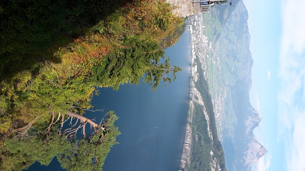
unglaublich schöne Tour um den Vierwaldstätter See (gegen den Uhrzeigersinn gefahren)

Tour map and elevation profile

  • Open Street Map
  • Google
Minimum height 435 m Maximum height 892 m Detailed view

More about the tour author

Dieter_H
Member since 2017

Send private message

Comments

Ich bin in Schwyz gestartet. Natürlich kann man auch in Luzern am Bahnhof starten ...

GPS tracks

Trackpoints
  • GPX / Garmin Map Source (gpx) download
  • TCX / Garmin Training Center® (tcx) download
  • CRS / Garmin Training Center® (crs) download
  • Google Earth (kml) download
  • G7ToWin (g7t) download
  • TTQV (trk) download
  • Overlay (ovl) download
  • Fugawi (txt) download
  • Kompass (DAV) Track (tk) download
  • Track data sheet (pdf) download
  • Original file of the author (gpx) download

More about the tour author

Dieter_H
Member since 2017

Send private message
Share track
Add to my favorites
Remove from my favorites
Edit tags
My score
Rate
Track: Vierwaldstätter See
Type: Road biking
Distance: 118,6 km
Evaluated on:
Duration:
Day(s)
Hour(s)
Minute(s)
Score: Landscape Fun factor Fitness Technique