


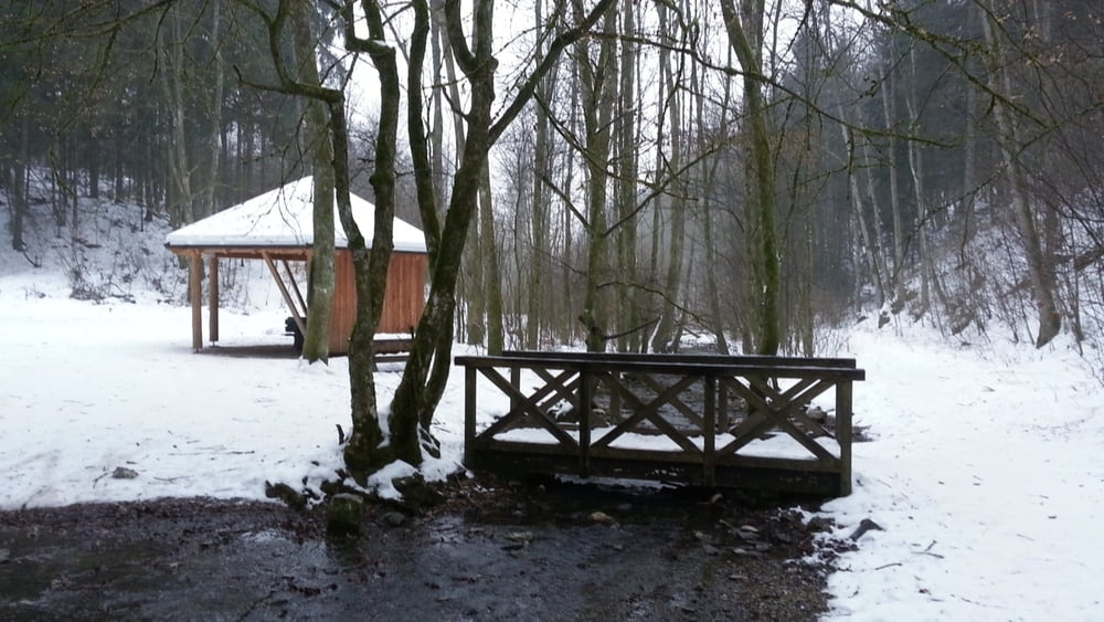
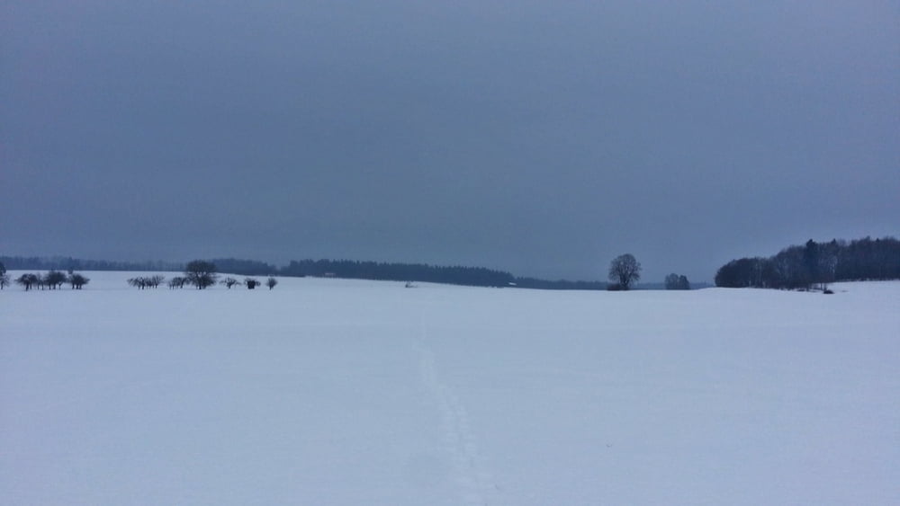
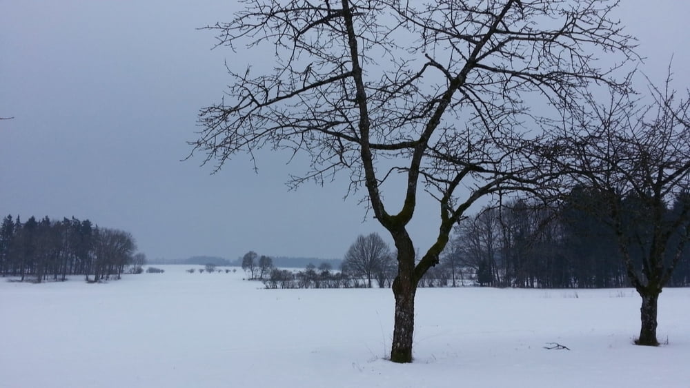
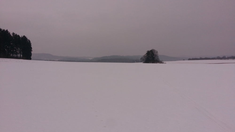
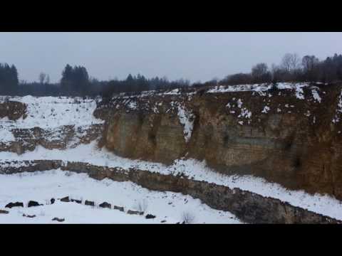
Das Wetter macht nicht mit, aber bei herrlichem Schnee klingen die Tritte mit Schneeschuhen wie das Stampfen eines Schiffsdiesel und wirkt richtig meditierend...
HINWEIS zum Video:
Mit Mozilla Firefox u.a. mit Flash- Player Plugin startet das Video direkt bei der Bildershow.
Andernfalls verwendet ihr in eurem Browser den Link: https://youtu.be/1PcGowbA_Ws
Tour gallery
Tour map and elevation profile
Minimum height 482 m
Maximum height 522 m
More about the tour author
|
|
heinz-57 |
Comments

Auf der B2 von Nürnberg kommend vor Igensdorf rechts ab:durch Unter-, Mittel-, Kirch- und Oberrüsselbach fahren wir Richtung Lillinghof. Bei blauer Wegmarkierung links Parkmöglichkeit
GPS tracks
Trackpoints-
GPX / Garmin Map Source (gpx) download
-
TCX / Garmin Training Center® (tcx) download
-
CRS / Garmin Training Center® (crs) download
-
Google Earth (kml) download
-
G7ToWin (g7t) download
-
TTQV (trk) download
-
Overlay (ovl) download
-
Fugawi (txt) download
-
Kompass (DAV) Track (tk) download
-
Track data sheet (pdf) download
-
Original file of the author (gpx) download
More about the tour author
|
|
heinz-57 |
Add to my favorites
Remove from my favorites
Edit tags
Open track
My score
Rate