


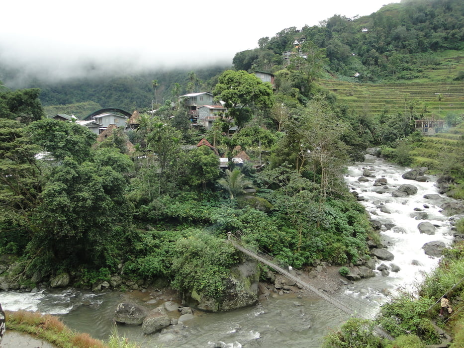
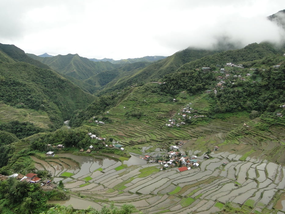
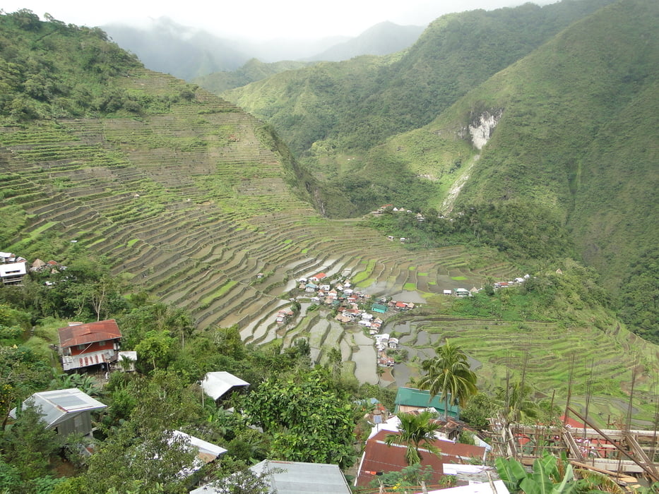
Die Reisterrassen von Banaue gehören zum UNESCO Weltkulturerbe und werden oft als das 8. Weltwunder genannt. Alleine die Wanderung zwischen den Reisterrassen ist schon eine Reise auf die Philippinen wert.Für die Tour selber bedarf es keine top Kondition. Da man auf dem Track auf ca. 1900m Höhe unterwegs ist befindet man sich in einem optimalem Klima. Landschaftlich ist die Gegend um Banaue einzigartig.
Further information at
https://de.wikipedia.org/wiki/BanaueTour gallery
Tour map and elevation profile
Minimum height 749 m
Maximum height 1804 m
More about the tour author
|
|
4ty |
Comments

Nach Banaue kommt man ab Manila mit dem Bus (ca. 8-10 Std. fahrt). Von dem Flughafen Clark (Angeles) kommt man auch sehr gut mit dem Bus nach Banaue.
GPS tracks
Trackpoints-
GPX / Garmin Map Source (gpx) download
-
TCX / Garmin Training Center® (tcx) download
-
CRS / Garmin Training Center® (crs) download
-
Google Earth (kml) download
-
G7ToWin (g7t) download
-
TTQV (trk) download
-
Overlay (ovl) download
-
Fugawi (txt) download
-
Kompass (DAV) Track (tk) download
-
Track data sheet (pdf) download
-
Original file of the author (gpx) download
More about the tour author
|
|
4ty |
Add to my favorites
Remove from my favorites
Edit tags
Open track
My score
Rate