
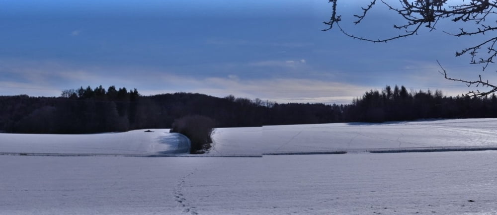

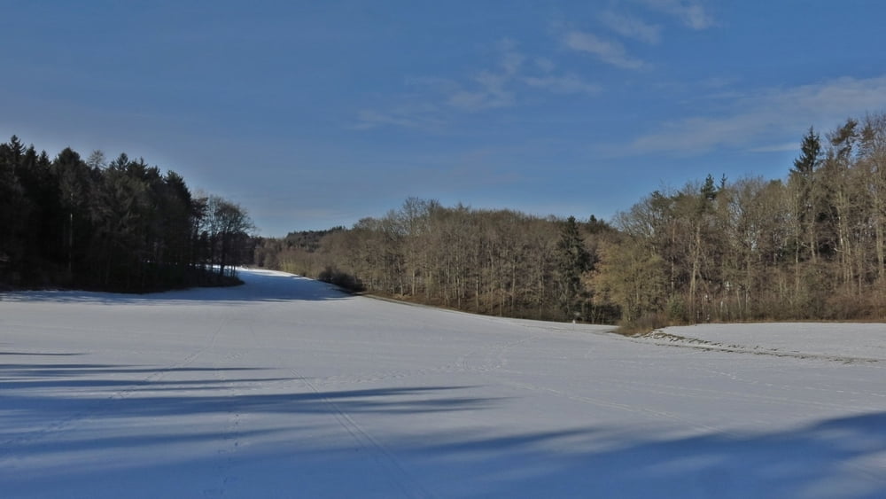
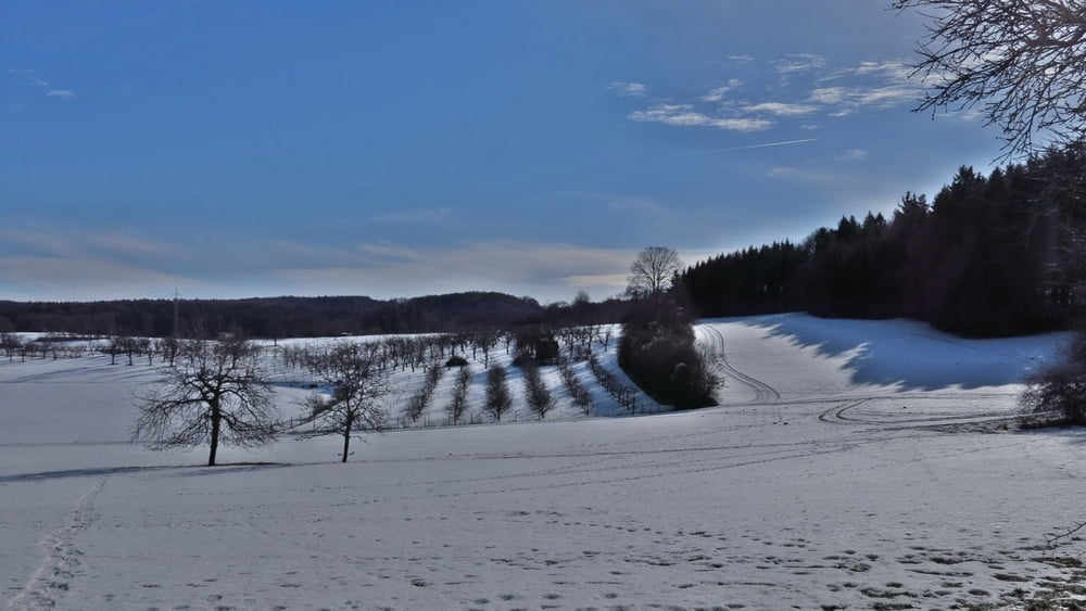
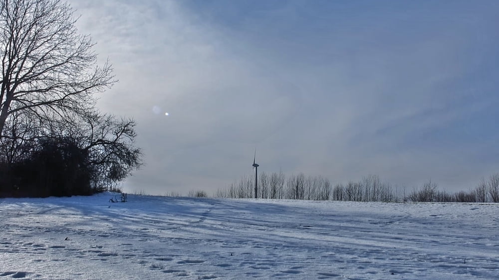
Gemütliche Wanderung mit wenig Höhenmetern bei strahlender Sonne, +6° C und überwiegend noch Harsch, man sinkt nur wenige cm ein...
Und am Wochenende dann zum Abschluss im gemütlichen Cafe Kunzmann in Neusles!
HINWEIS zum Video:
Mit Mozilla Firefox u.a. mit Flash- Player Plugin startet das Video direkt bei der Bildershow.
Andernfalls verwendet ihr in eurem Browser den Link:
https://youtu.be/xW1Mm4Pq6tk
Further information at
http://www.audeeya.deTour gallery
Tour map and elevation profile
Minimum height 476 m
Maximum height 544 m
More about the tour author
|
|
heinz-57 |
Comments

Von Gräfenberg kommend Richtung Egloffstein, ca. 1km auf der Umfahrung von Gräfenberg links ab nach Hohenschwärz, kurz nach Ortseinfahrt links nach Neusles. An Verkehrsinsel links Parkplatz.
GPS tracks
Trackpoints-
GPX / Garmin Map Source (gpx) download
-
TCX / Garmin Training Center® (tcx) download
-
CRS / Garmin Training Center® (crs) download
-
Google Earth (kml) download
-
G7ToWin (g7t) download
-
TTQV (trk) download
-
Overlay (ovl) download
-
Fugawi (txt) download
-
Kompass (DAV) Track (tk) download
-
Track data sheet (pdf) download
-
Original file of the author (gpx) download
More about the tour author
|
|
heinz-57 |
Add to my favorites
Remove from my favorites
Edit tags
Open track
My score
Rate