

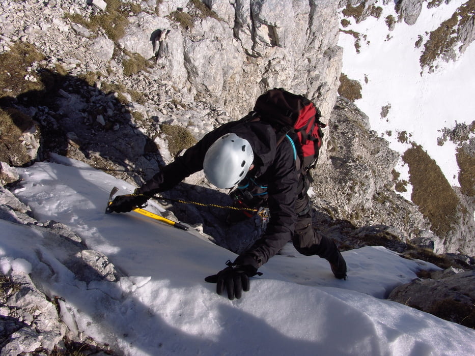
Ende Dezember 2016 bei geringer Schneelage begangen.
Steigeisen und Pickel unbedingt erforderlich. Klettersteigset hilfreich.
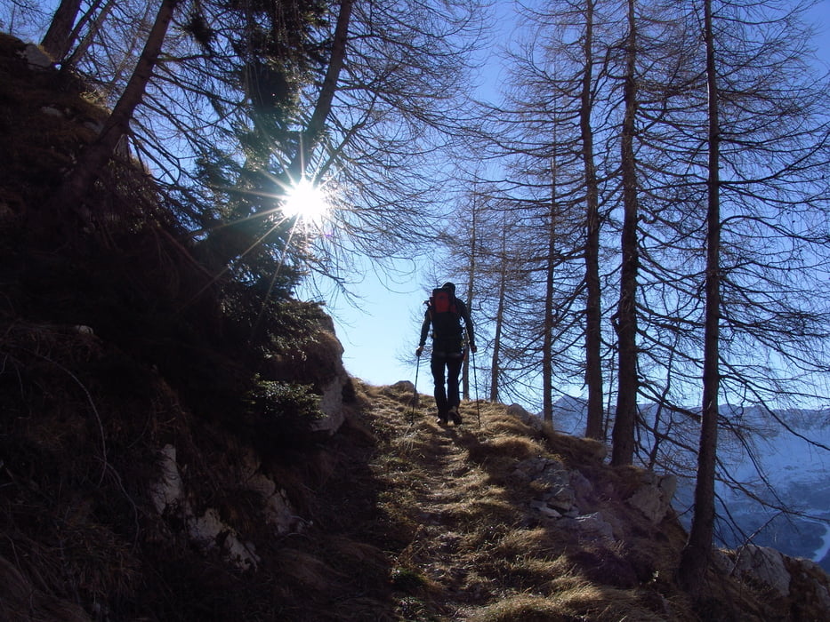
Die ersten 500m der Route verlaufen ohne Steig durch den Wald. Alternativ kann natürlich auch vom Parkplatz auf der Pecol-Alm gestartet werden.
Wenn kein Schnee in der Nordwand liegt, könnte auch gut in die Forcella Lavinal dell' Orso abgestiegen werden und somit der Rückweg auf gleicher Route vermieden werden.
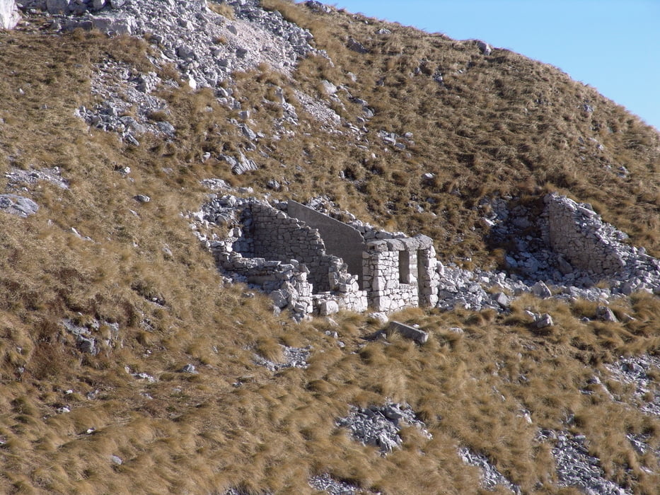
Viele und gut erhaltene Wk-1 Bauwerke. Selbst der Aufstieg war ein Nachschubweg für Maultiere.
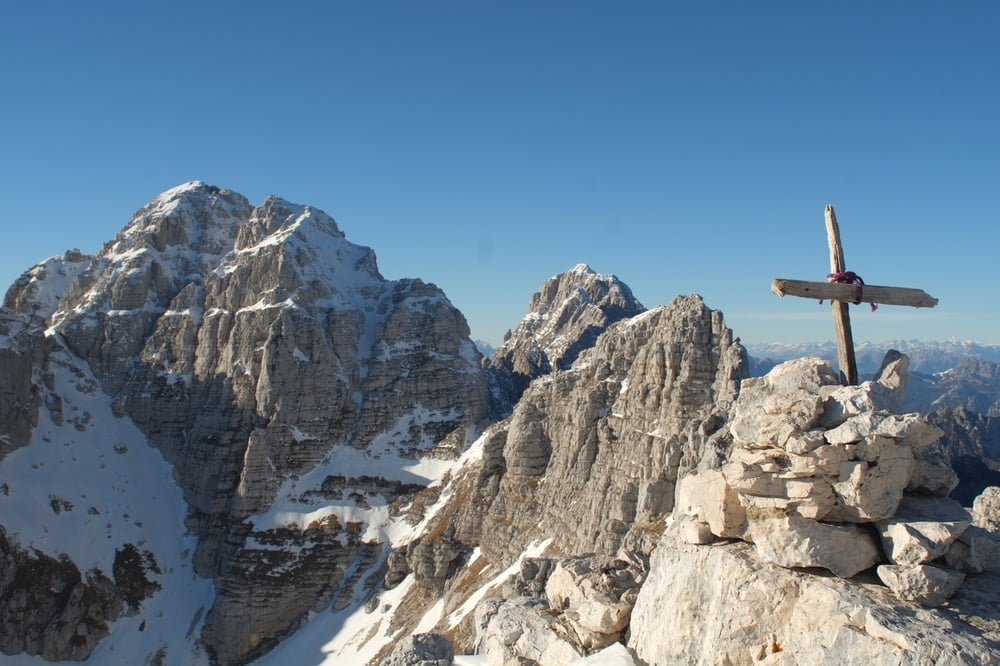
Darüber, welcher der beiden begangenen Gipfel welcher ist (Punta Plagnis und Monte Cregnedul) sind sich nicht alle Karten ganz einig.
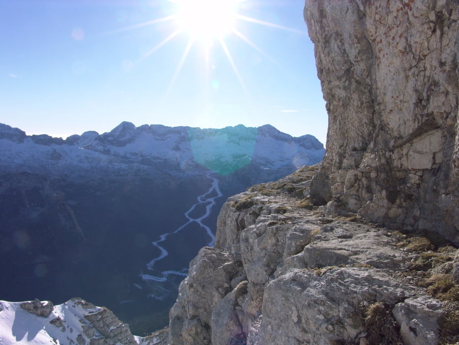
Tour gallery
Tour map and elevation profile
Minimum height 1394 m
Maximum height 2430 m
More about the tour author

|
Martin74 |
Comments

GPS tracks
Trackpoints-
GPX / Garmin Map Source (gpx) download
-
TCX / Garmin Training Center® (tcx) download
-
CRS / Garmin Training Center® (crs) download
-
Google Earth (kml) download
-
G7ToWin (g7t) download
-
TTQV (trk) download
-
Overlay (ovl) download
-
Fugawi (txt) download
-
Kompass (DAV) Track (tk) download
-
Track data sheet (pdf) download
-
Original file of the author (gpx) download
More about the tour author
|
|
Martin74 |
Add to my favorites
Remove from my favorites
Edit tags
Open track
My score
Rate