

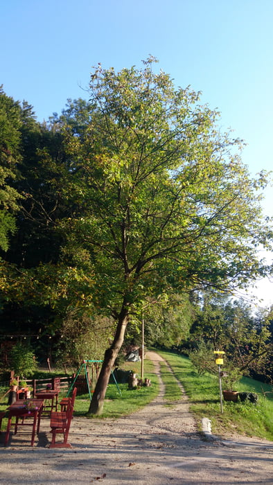
- Start am Weißen Hof in Klosterneuburg
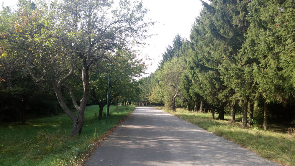
- über Waldwege hinunter zur Redlinger Hütte
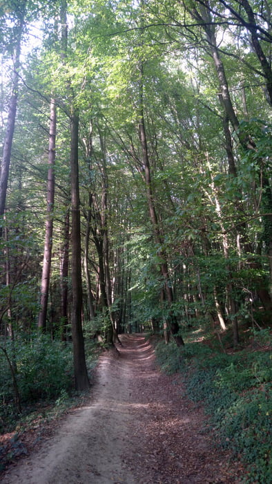
- durch den Wald nach Hadersfeld
- dann geht es durch den Wald und über Schotterstraßen hinunter nach St. Andrä-Wördern
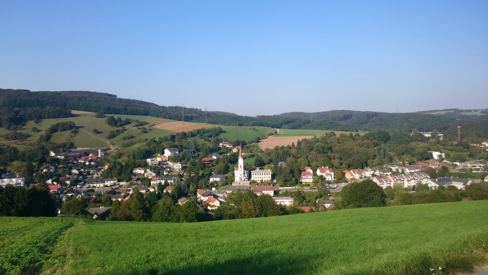
- durch das Ortsgebiet von St. Andrä-Wördern hindurch
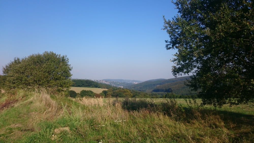
- auf der Straße der schwierige Anstieg über die Hagenbachklamm hinauf nach Hintersdorf
- weiter über den Güterweg Plöcking hinunter nach Maria Gugging
- durch den Wald hinauf zur Redlinger Hütte
- und wieder zurück zum Weißen Hof
Tour gallery
Tour map and elevation profile
Minimum height 170 m
Maximum height 409 m
More about the tour author

|
lostavar |
Comments

GPS tracks
Trackpoints-
GPX / Garmin Map Source (gpx) download
-
TCX / Garmin Training Center® (tcx) download
-
CRS / Garmin Training Center® (crs) download
-
Google Earth (kml) download
-
G7ToWin (g7t) download
-
TTQV (trk) download
-
Overlay (ovl) download
-
Fugawi (txt) download
-
Kompass (DAV) Track (tk) download
-
Track data sheet (pdf) download
-
Original file of the author (gpx) download
More about the tour author
|
|
lostavar |
Add to my favorites
Remove from my favorites
Edit tags
Open track
My score
Rate