


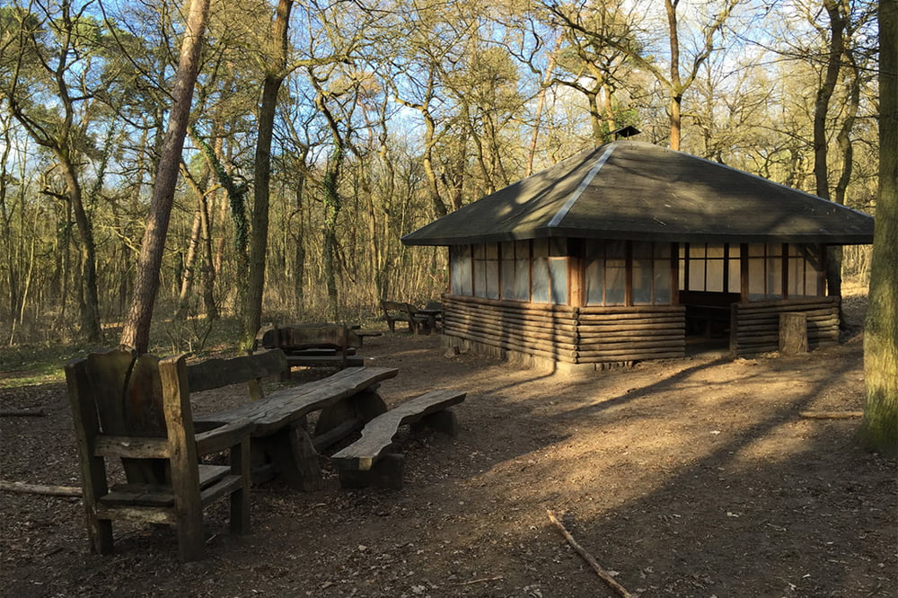
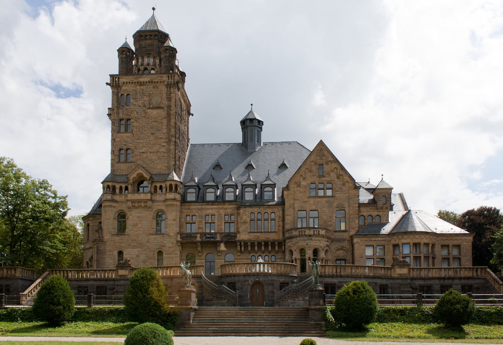
Gunsenum ist der rheinhesische Name für den Mainzer Ortsteil Gonsenheim. Reibn ist das bayerische Wort für eine Tour die mehrere Gipfel hat. Das trifft hier beides zu. Man startet entweder in den Gonsbahcgärten und nimmt noch das Gonsbachtal mit, oder man startet kurz vor der Ortseinfahrt Finthen unter der Autobahnbrücke. Die Tour lässt sich in beide Richtungen fahren, im Uhrzeigersinn ist sie ein wenig härter in den Auffahrten. Von den Finthener Obstgärten geht es nach Heidesheim, durch den Budenheimer Wald, wieder hinauf in den Lennebergwald bbis zum Restaurant am Turm, dann weiter durch den Gonsenheimer Wald zurück zum Ausgangspunkt. Außer der kurzen Abfahrt vom Schloss Waldhausen nach Budenheim alles Schotter und viele Single-Trails ...
Viel Spaß
Tour gallery
Tour map and elevation profile
Minimum height 49 m
Maximum height 193 m
More about the tour author
|
|
Telebike |
Comments

Man startet entweder in den Gonsbahcgärten und nimmt noch das Gonsbachtal mit, oder man startet kurz vor der Ortseinfahrt Finthen unter der Autobahnbrücke
GPS tracks
Trackpoints-
GPX / Garmin Map Source (gpx) download
-
TCX / Garmin Training Center® (tcx) download
-
CRS / Garmin Training Center® (crs) download
-
Google Earth (kml) download
-
G7ToWin (g7t) download
-
TTQV (trk) download
-
Overlay (ovl) download
-
Fugawi (txt) download
-
Kompass (DAV) Track (tk) download
-
Track data sheet (pdf) download
-
Original file of the author (gpx) download
More about the tour author
|
|
Telebike |
Add to my favorites
Remove from my favorites
Edit tags
Open track
My score
Rate